
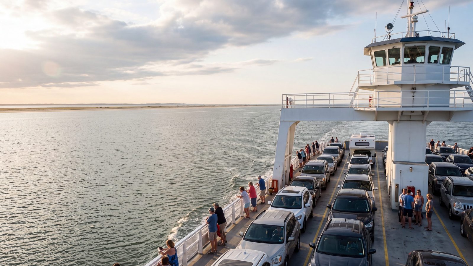
You do not pick your ferry — the line picks it for you. Somewhere between the departure board and the loading ramp you will be waved onto one of about ten boats that work Hatteras Inlet, and every one of them has a name, an age, a college wearing its colors on her rails, and a home port you have probably never heard of. This page is about the boats themselves. For schedules, fares and how the crossing works, start with our Outer Banks ferries guide.
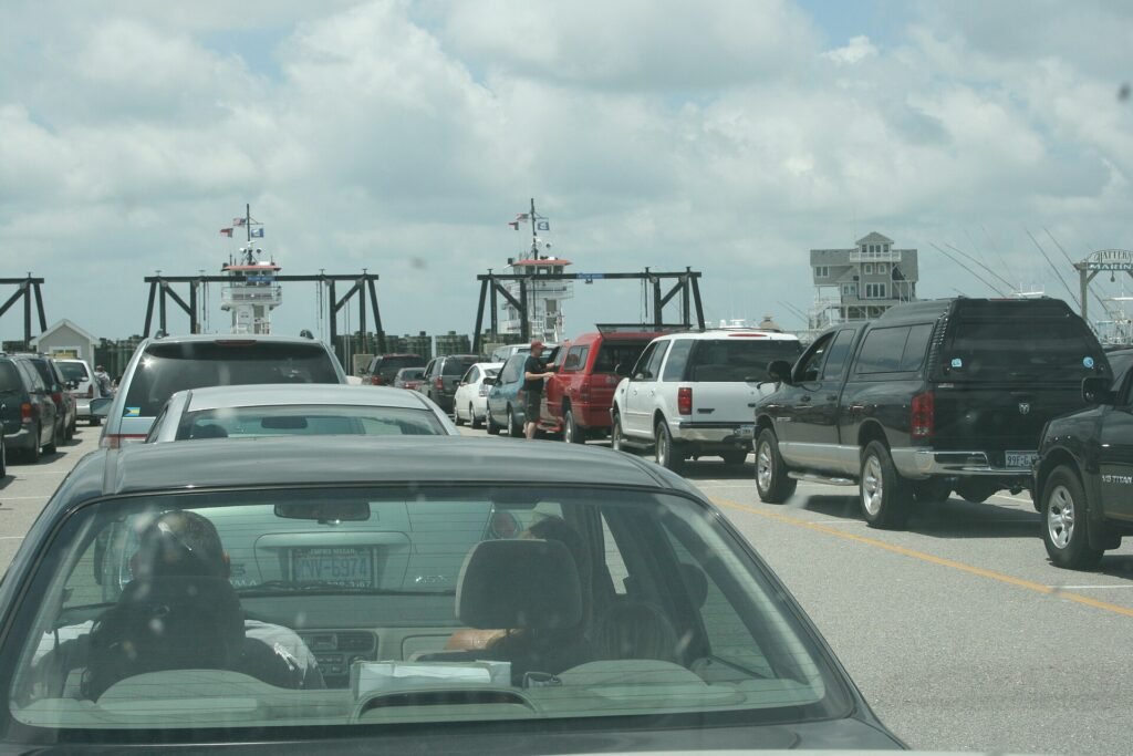
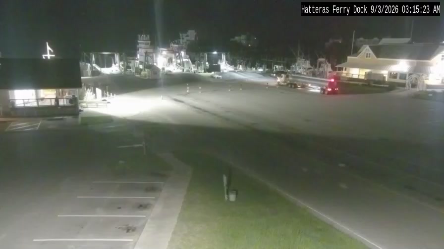
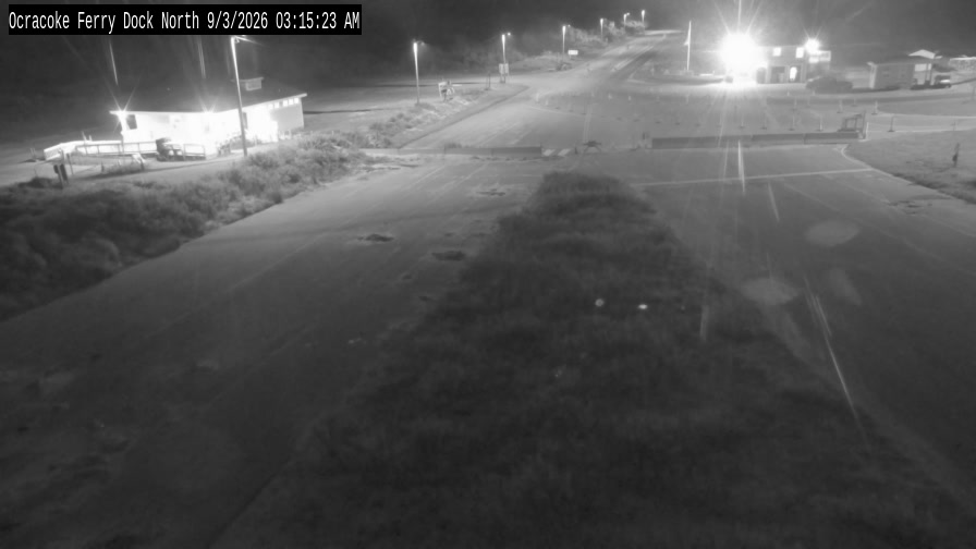
Hatteras ferry live cam: both docks right now
These are NCDOT’s own ferry dock cameras — the Hatteras webcam first, the Ocracoke one below it — and they refresh about once a minute while you watch, so you are looking at the ferry line as it is today, not a stock photo. If a frame is blank, that camera is down — the source is NCDOT’s Hatteras Inlet ferry cameras page. If you want to know how to time the crossing around that line, by season and by hour, the Hatteras–Ocracoke ferry strategy guide on our beach-driving site covers it.
The fleet at a glance
The state lists these vessels as the Hatteras–Ocracoke pool. Assignments rotate — boats move between routes for maintenance, dredging conditions and the seasons — so read this as the deck your boat is dealt from, not a timetable.
| Boat | Class | Built | Carries |
|---|---|---|---|
| Rodanthe | River | 2019 | about 40 vehicles |
| Hatteras | River | 2006 | about 40 vehicles |
| W. Stanford White | River | 2003 | about 40 vehicles |
| Croatoan | River | 2003 | about 40 vehicles |
| Frisco | Hatteras | 1990 | about 30 vehicles |
| Chicamacomico | Hatteras | 1990 | about 30 vehicles |
| Cape Point | Hatteras | 1990 | about 30 vehicles |
| Ocracoke | Hatteras | 1990 | about 30 vehicles |
| Kinnakeet | Hatteras | 1989 | about 30 vehicles |
| Gov. James B. Hunt | Hatteras | 1984 | about 20 vehicles |
Fleet details are from NCDOT’s 2024 vessel replacement plan and the ferry division’s published specifications, last verified October 2026.
Two kinds of boat in the inlet
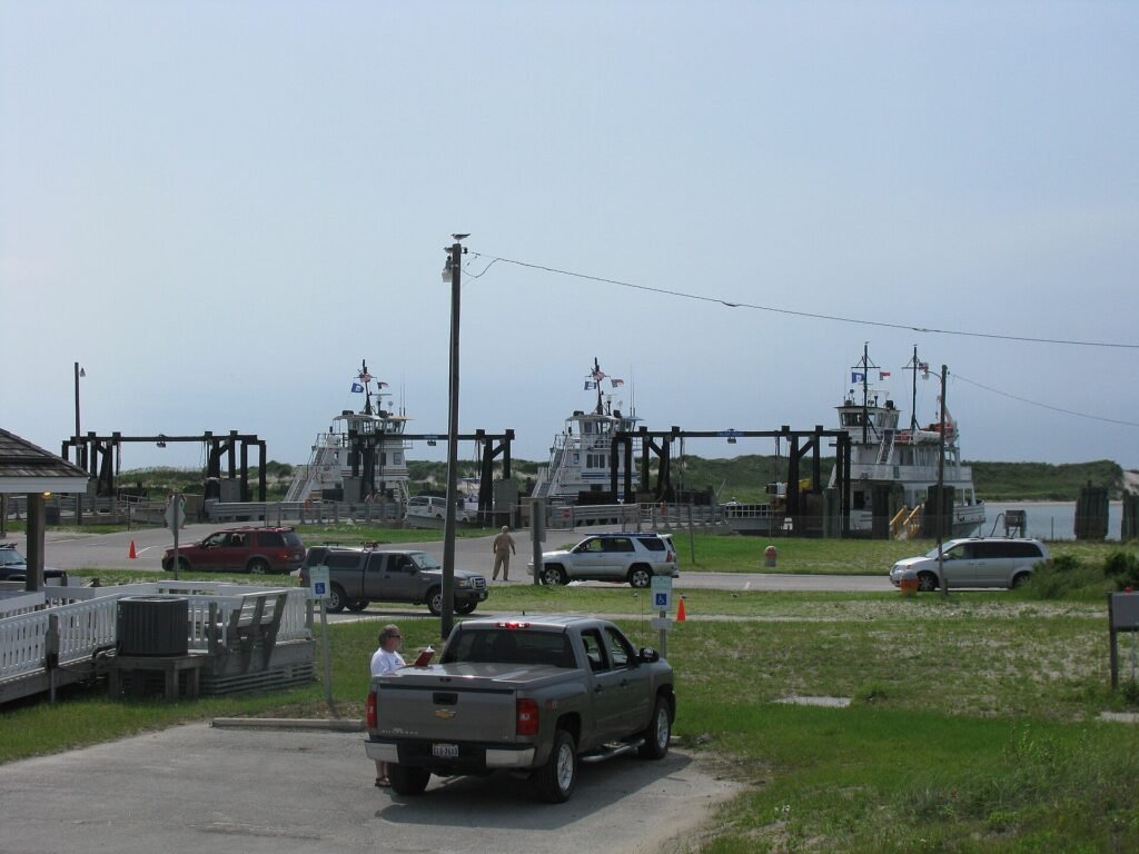
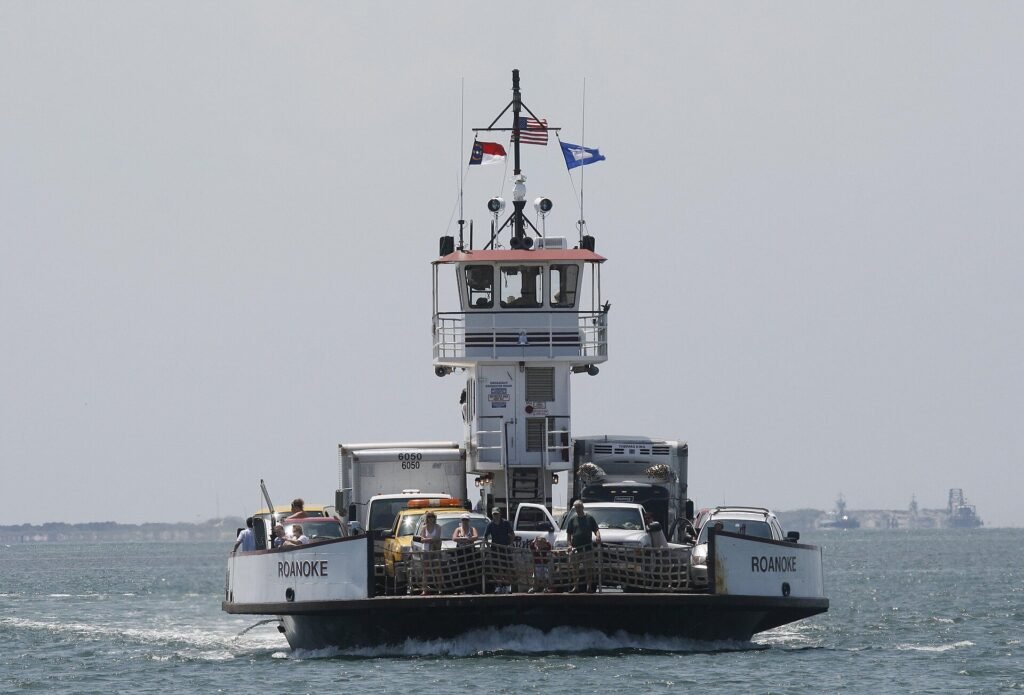
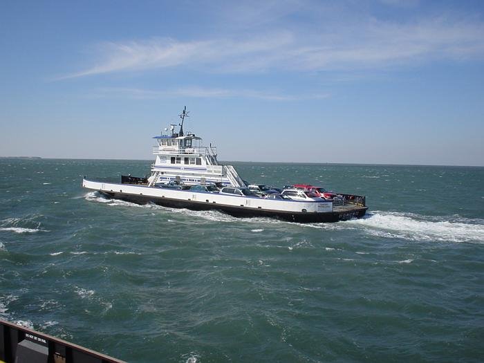
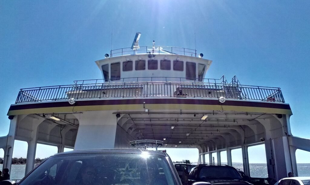
The smaller, older boats are the Hatteras class, built around 1990 and carrying roughly 30 cars apiece. The river class is the newer, bigger answer: around 40 cars and room for 300 passengers. These are flat-bottomed, shallow-draft workboats, not ships — parts of the system’s routes cross water only a few feet deep, and the boats are built for exactly that. When the Rodanthe made her first run in July 2019 she was the first new boat on this route in 13 years. The Gov. James B. Hunt, the oldest and smallest boat still assigned here, carries about 20 cars — draw her on a busy day and the line behind you gets a little longer.
Why the crossing takes as long as it does
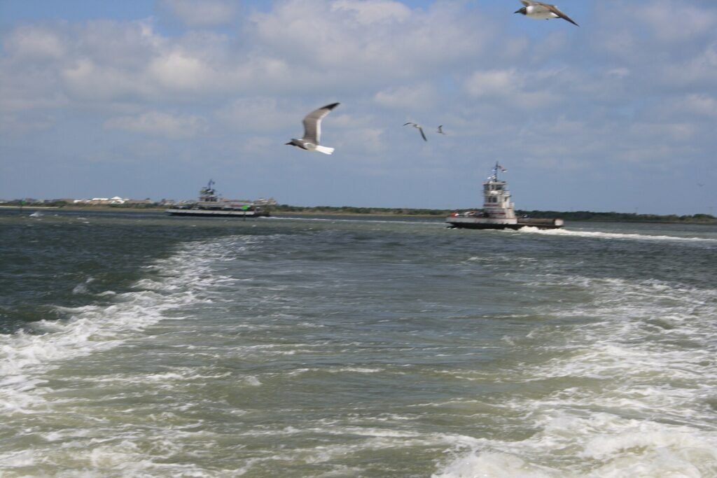
Hatteras Inlet has been rearranging itself since the day it opened in 1846, and the ferry route has to follow the sand. For years the boats ran a short cut called Barney Slough. By late 2023 it had shoaled so badly that ferries were touching bottom, and in December 2023 the division gave up on it and moved the run to Rollinson Channel — about a mile and a half longer and a good deal slower. That is why a crossing your older guidebook calls 40 minutes now runs about 70. The Army Corps of Engineers dredges the inlet constantly; the inlet ignores them at its leisure.
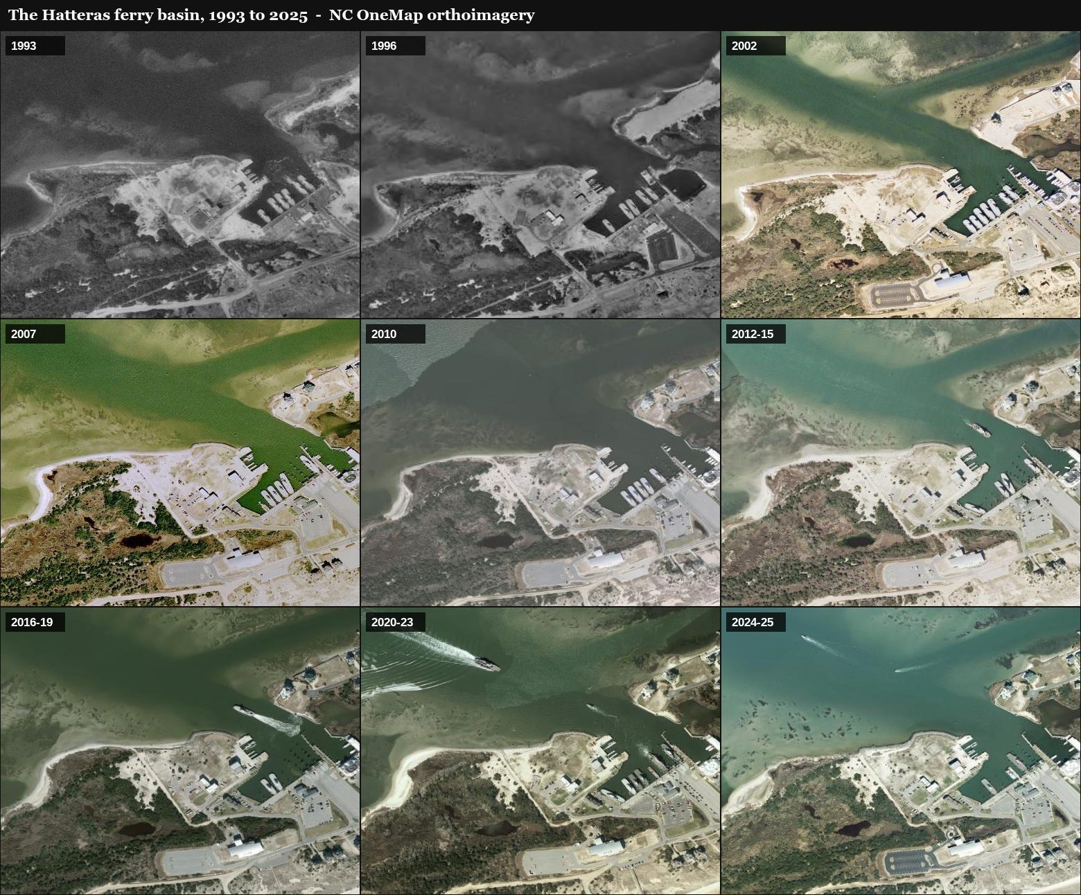
Watch the docks move: thirty years from the air
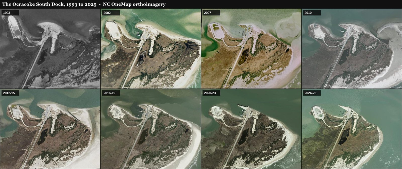
The state has flown mapping photography over this coast since the early 1990s, and stacked up over the ferry docks those flights become a flipbook. Below is every usable pass over each terminal, 1993 to 2025.
The Ocracoke side is the dramatic one. The South Dock sits on the island’s bare north tip, and the tip does not hold still. Watch the point behind the terminal build, curl and hook around the dock like a question mark redrawing itself, while the shoals off the entrance trade places between flights. The road and the slips are the only things in the frame that stay put. It is the same story as the channel above — the dock is fixed, and the inlet decides how the boats get to it.
The Hatteras basin reads calmer, but watch the sound-side shoreline shift between flights and the docks themselves get rebuilt and rearranged over the years. The harbor holds because it is kept — dredged, bulkheaded and repaired — not because the sand has agreed to anything.
The names are a map
Read the fleet list and you are reading Highway 12 back the way you came. Rodanthe and Frisco are villages you just drove through. Kinnakeet is the old name of Avon, and Chicamacomico is the old name for the Rodanthe area — the restored life-saving station there still wears it. Cape Point is the elbow of sand below Buxton where the two currents meet. Ocracoke and Hatteras name the islands the boats stitch together. And Croatoan is the oldest name on the water: the single word found carved into a post when the Roanoke colony was found abandoned in 1590.
Two newer boats named for Hatteras Island villages — the Avon and the Salvo — are not here at all. They were assigned to the Cherry Branch–Minnesott Beach run near New Bern, so their names are a tribute, not an address. The Gov. James B. Hunt carries a person instead of a place: North Carolina’s four-term governor. And the boat the Rodanthe replaced was the Thomas A. Baum — named for one of the private ferrymen whose operations the state bought out to build this system in the first place. The fleet keeps its own history.
Look for the college colors
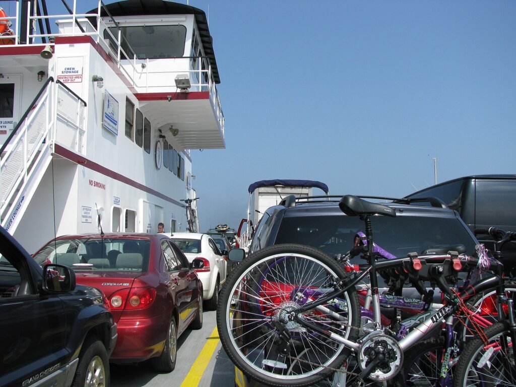
Here is the detail almost nobody notices from the car line: every boat in the fleet is trimmed in the colors of a different North Carolina college or university, applied when she is repainted at the shipyard — gold and maroon for Elon on one hull, blue and red for Elizabeth City State on another. Working out which school your boat wears is a fair way to spend the queue, and yes, our treasure hunt asks.
The shipyard at Manns Harbor
Every ferry in the state fleet, wherever she works, has the same official home port: Manns Harbor, on Croatan Sound in Dare County. The state runs its own shipyard there — by NCDOT’s accounting the largest maintenance yard on the coast between Norfolk and Charleston — and it is where the boats go to be fixed. Roughly every five years each vessel is hauled out of the water on a marine railway, rolled up the rails on blocks like a train car, and taken apart: the hull steel is measured for thickness, engines and systems are gone through, safety gear is inspected, and the whole boat is stripped and repainted inside a paint building big enough to swallow a ferry. A visit runs months, which is one reason the fleet is a pool rather than a fixed roster — somebody is always home at Manns Harbor. If your boat looks suspiciously fresh, she probably just got back.
The long-haul boats from the mainland
The ferries that come to Ocracoke from Cedar Island and Swan Quarter are a different breed — the sound class, built for the long Pamlico Sound crossings: Silver Lake, Carteret, Cedar Island, Swan Quarter and Sea Level, each swallowing 46 to 50 vehicles. The biggest of them run about 220 feet — stand one on end and it would top the Cape Hatteras Lighthouse. The Silver Lake, launched in 1965, is the elder of the entire fleet, and her name is her destination: the round harbor at the heart of Ocracoke village.
How a free ferry got here
The system began as private one-boat businesses. Toby Tillett of Wanchese started ferrying cars across Oregon Inlet in 1924 — his first boat carried two cars, his later Barcelona fourteen. Across Hatteras Inlet, Captain Frazier Peele established an automobile ferry in the early 1950s: roughly three runs a day, five dollars a car, on a wooden boat everyone could see he would soon outgrow. After the Second World War the state bought out the private operators one by one — Thomas A. Baum’s runs, Tillett’s Oregon Inlet boats, and Peele’s Hatteras Inlet operation — and the Hatteras–Ocracoke crossing has been toll-free since the state took it over in 1957.
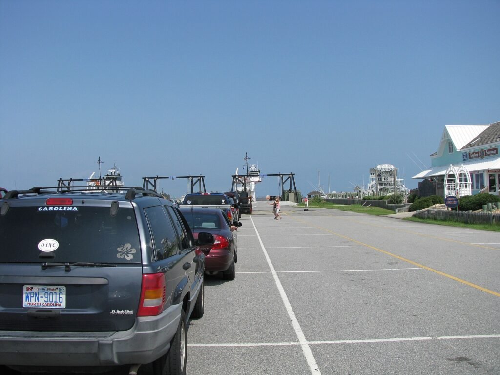
What grew out of those purchases is now the second-largest state-run ferry system in the country, behind only Washington State — about twenty-one boats on seven year-round routes, carrying well over a million passengers a year. And the free ride may be ending: in 2026 the legislature ordered tolls on this route starting January 1, 2027, along with Currituck–Knotts Island, Bayview–Aurora and Cherry Branch–Minnesott Beach. Rates go before the Board of Transportation on November 5, 2026, and the law includes a $150 annual commuter pass for active-duty military and permanent residents of the state’s 20 coastal counties. Our ferries guide tracks the current rules.
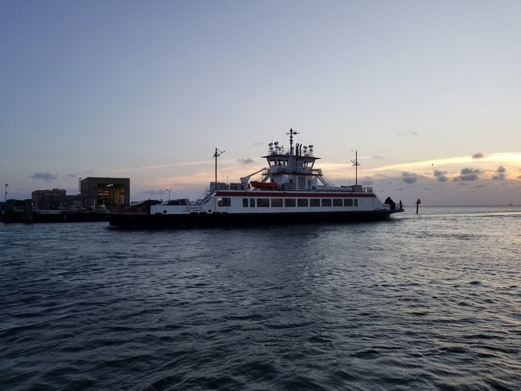
Blackbeard’s flag flew from these masts
In 2018, three hundred years after Edward Teach was killed at Ocracoke, the state flew Blackbeard’s black flag from the ferries on the Ocracoke routes for the anniversary year — a reminder, the ferry division said, that passengers were plying the same waters he sailed. The flags came down; the waters have not moved.
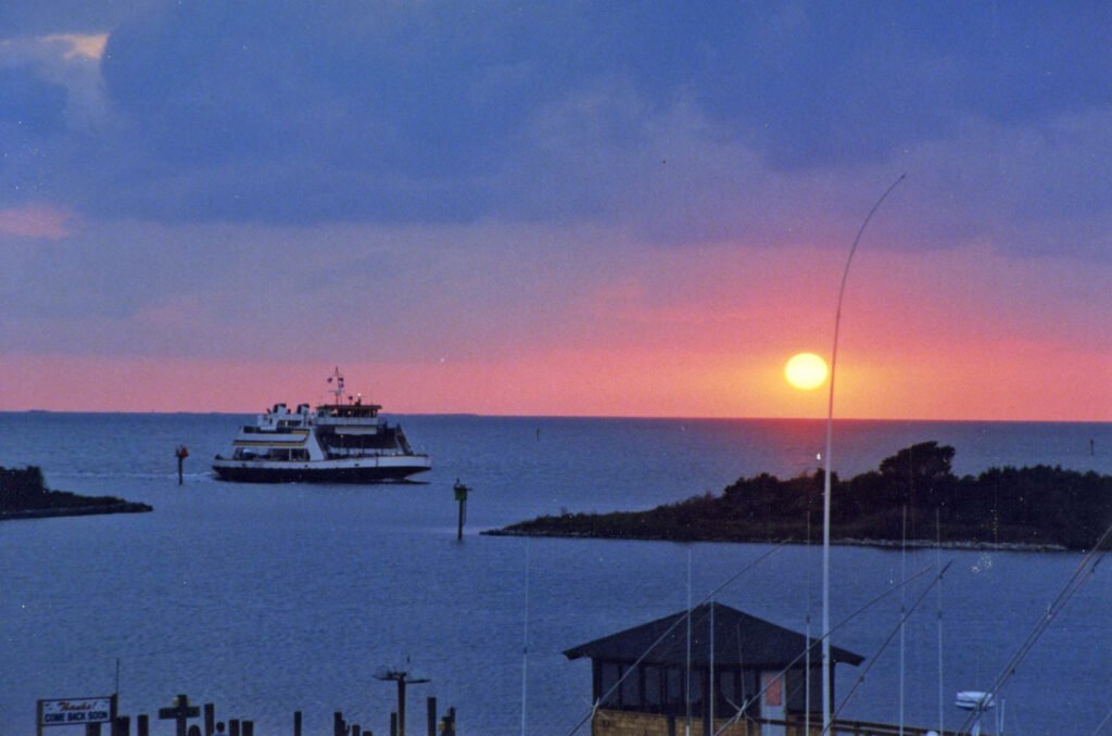
If you want the crossing to be more than a ride, our Blackbeard’s Gold treasure hunt begins in the Hatteras ferry line and plays straight through the 70-minute crossing — it will ask you which college your boat wears, and to find her name and log which one carried you over.
What people ask about these boats
The quick answers, in one place. Schedules, fares and reservations live on our Outer Banks ferries guide — these are the questions about the boats and the ride itself. Before you drive, NCDOT’s Hatteras Inlet ferry cameras show the lines at both docks live, and our webcams page maps the rest of the coast.
How many cars fit on a Hatteras-Ocracoke ferry?
It depends which boat the line deals you. The Hatteras-class boats carry about 30 vehicles, the newer river-class boats about 40, and the little Gov. James B. Hunt about 20. The big sound-class boats that run to Cedar Island and Swan Quarter swallow 46 to 50.
Can you stay in your car during the crossing?
Yes. Some people do, especially in rain. Most climb the stairs to the passenger deck, because the view is the whole point of a boat ride across an inlet.
Are there bathrooms on the ferry?
Yes. Every boat in the state fleet has public restrooms aboard, which matters more than you might think on a 70-minute crossing with kids in the car.
Is there food or drink on board?
Do not count on it. Treat the Hatteras run as a 70-minute ride with no snack bar and bring your own water, and pack a real lunch for the long Cedar Island and Swan Quarter crossings.
Do the ferries run in winter and in bad weather?
They run 365 days a year. What stops them is not cold, it is wind: when it blows hard enough that the inlet is not safe, generally somewhere around 35 to 40 mph, runs hold until it lays down. Before a winter or storm-week crossing, check the ferry alerts.
How early should you get in line in summer?
By NCDOT’s own published guidance, as of 2026: leaving Hatteras, be in line by 9 a.m. — lines build from 10 and peak around 1 p.m. Leaving Ocracoke, you are usually fine before 2 p.m., with lines forming around 4, heaviest from 6 to 7, and not clearing until after 9 Peak-summer waits can reach three hours, and Tuesday through Thursday are the heaviest days.
Which boat will you get?
You cannot choose — the fleet is a pool and assignments rotate. Find the name on the life rings once you are aboard, and the fleet table on this page tells you what she carries and what her name means.
Is the Hatteras-Ocracoke ferry getting a toll?
It has been free since the state took it over in 1957. In 2026 lawmakers ordered tolls on the route starting January 1, 2027; rates go before the Board of Transportation on November 5, 2026, and a $150 annual commuter pass will be available to active-duty military and permanent residents of the state’s 20 coastal counties. Our Outer Banks ferries guide tracks the current rules.
Is there a ferry from Nags Head or Virginia Beach to the Outer Banks?
No. The northern Outer Banks — Corolla down through Nags Head and Hatteras Island — is reached by bridge, no boat required. The ferries serve Ocracoke, which has no bridge at all, plus the mainland runs. When someone says the ferry to the Outer Banks, they mean Ocracoke.
Is there a webcam at the ferry docks?
Yes. NCDOT runs live cameras at both Hatteras Inlet docks – North Dock on the Hatteras side and South Dock on Ocracoke – each looking down the stacking lanes, with a fresh image every few seconds. Check them before you drive; the link is just above this list. Our Outer Banks webcams page collects every other live camera on the coast.