
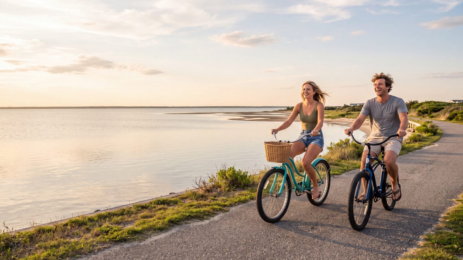
The Outer Banks is better biking than most people expect, as long as you stay on the paths. Nearly every town from Corolla to Nags Head has a paved multi-use path running beside the highway, Manteo has one of the prettiest stretches on the coast, and Hatteras and Ocracoke have filled in more pavement every few years. The terrain is flat, the wind is the only hill, and almost all of it is free.
This page maps where the paths are, where each one ends, and the stretches where you are on the road shoulder whether you like it or not. Looking for walking trails instead? Those are on our Outer Banks hiking trails and boardwalks page.
Outer Banks Bike Path Map
Tap a pin for the path, its length and where it ends. Green pins are separated paved paths; amber pins are stretches where you ride the highway shoulder.
Corolla, Duck and Southern Shores
Corolla has roughly ten miles of its own paved path, looping past the Currituck Beach Lighthouse and the Whalehead grounds and running south toward Pine Island. North of the lighthouse the pavement simply ends at the beach ramp, and so does the path — there is no riding into the 4x4 area. The Duck Trail is the one everyone remembers: about ten miles of paved path through Duck and Southern Shores under live oaks, with a grassy buffer from the road and reasons to stop every few hundred feet. Dismount at the crosswalks; the town means it. Southern Shores carries the path down to Sandy Run Park, which has parking, water and a shelter and makes the natural start or finish for a northern ride.
Kitty Hawk, Kill Devil Hills and Nags Head
This is where the network has gaps, and the gaps matter more than the paths. Between Sandy Run Park and Moore Shore Road in Kitty Hawk there is about a mile and a half with no separated path — a narrow, shoulderless 35-mph road with blind curves. From Moore Shore Road south, Kill Devil Hills owns two of the best stretches on the beach: the First Flight path, about five miles of tree-lined greenway past the Wright Brothers Memorial and the airstrip toward Colington, and the Bay Drive path along the sound, which is the evening ride.
Then comes the second gap: about a mile and a half of road shoulder between Kill Devil Hills and north Nags Head, signed as the Wright Brothers Bikeway but not a place for kids. Nags Head itself has about eleven miles of paved path running the length of town beside the Beach Road — shaded in places, lined with driveways in others, so ride it expecting a car to back out. South of Whalebone Junction the path continues roughly 4.75 miles into South Nags Head and ends; the remaining miles to Oregon Inlet are highway shoulder with 55-mph traffic.
Manteo and Roanoke Island
Manteo is the ride for people who want to stop and look at things. The downtown waterfront is a slow loop past the boardwalk, the Roanoke Marshes Lighthouse and the historic streets, and a wide multi-use path runs about five miles north out of town to Fort Raleigh and the Elizabethan Gardens, passing the Freedmen's Colony site on the way. It is flat, wide and, in summer, lined with crepe myrtles. Bring a lock; you will want to walk Fort Raleigh's trails once you get there.
Hatteras Island
The honest summary: the villages have paths, the spaces between them do not. Pea Island is about thirteen miles of NC 12 between the Basnight Bridge and Rodanthe with a paved apron and no separated path — gorgeous through the refuge, but a working highway, so it is an early-morning ride for experienced cyclists. Rodanthe, Waves and Salvo share a paved multi-use path that borders NC 12, with elevated boardwalk sections on the sound side, and Colony Drive makes a quiet oceanfront loop.
Avon's path runs the length of the village beside the highway, about three and a half miles one way, with calm residential streets on either side. Buxton and Frisco still have no village-length path — a 7.6-mile project between them has been in planning for years — but Buxton gained the Lighthouse Pathway, a mile and a half of paved, accessible path from NC 12 toward the Cape Hatteras Lighthouse, and the Buxton Back Road and Open Ponds Trail suit wider tires. Hatteras Village completed its own multi-use pathway in late 2021; Eagle Pass Road is the marsh-view detour.
Ocracoke
Ocracoke village is the best place on the coast to leave the car parked and ride everywhere, and a three-mile paved multi-use path beside NC 12 now reaches out from the village toward the lifeguarded beach. The thirteen miles between the Hatteras ferry landing and that path are highway, so most people ride the village and the path and drive the rest. Bike rentals are in the village; bring lights, because the island gets properly dark.
Rules and sense
North Carolina requires helmets for riders under 16 and lights from dusk to dawn, and the towns ask you to dismount at crosswalks and share the path with walkers. The paths pool water after a summer shower and collect sand after a blow, so give the first ride after weather some extra attention. Away from the paths, NC 12 is narrow with soft shoulders and summer traffic — ride the network, ride early, and if a stretch on the map is amber, treat it as a road, not a path. Rentals are easy: most beach-gear shops deliver bikes to rental houses, and the paths in Duck, Corolla, Kill Devil Hills and Manteo all have rental shops within a block.
FAQ
Locally verified
Reviewed by the Beach4x4 team in Kill Devil Hills, NC
Last checked: August 2026
Sources: National Park Service, the Outer Banks Visitors Bureau bicycle route guide, and local town offices. Path conditions change after storms — confirm with the town before a long ride.
Can you bike the whole Outer Banks on a path?
No. The paths are town by town — Corolla, Duck and Southern Shores, Kill Devil Hills, Nags Head, Manteo, the Hatteras villages and Ocracoke — with road-shoulder gaps in Kitty Hawk, between Kill Devil Hills and Nags Head, across Pea Island, and between Buxton, Frisco and Hatteras. Ride the towns; drive the gaps.
Which Outer Banks bike path is best for kids?
The Duck Trail, the Corolla path, Kill Devil Hills' First Flight path and the Manteo path are all separated from traffic and flat. Avoid the Kitty Hawk gap and the stretch between Kill Devil Hills and Nags Head, which are road riding.
Is there a bike path on Hatteras Island?
In the villages, yes — Rodanthe, Waves, Salvo and Avon have paths beside NC 12, Buxton has the 1.5-mile Lighthouse Pathway, and Hatteras Village finished its pathway in late 2021. Between villages, and across Pea Island, you are on the highway.
Do you need a helmet to bike on the Outer Banks?
North Carolina law requires helmets for riders under 16. Everyone else should wear one anyway — the paths cross a lot of driveways.
Related OBX Guides
- Outer Banks Hiking Trails & Boardwalks — the walking side of the islands.
- Outer Banks Sunset Spots — where the Bay Drive ride ends.
- Highway 12 Mile Markers — find your place on the number line.
- Dog-Friendly Outer Banks — the paths welcome leashed dogs.
- Things to Do in the Outer Banks — plan the rest of the day.