
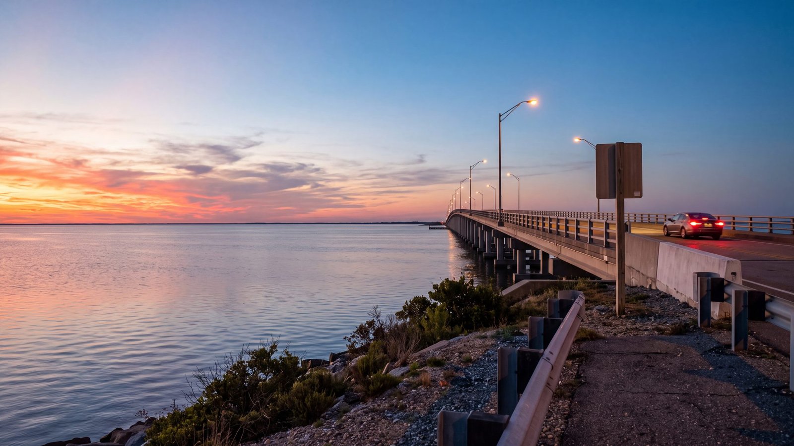
Getting directions to the Outer Banks is simpler than it looks once you know which of the bridges you are aiming for and which route avoids the worst summer traffic.
The Outer Banks has no commercial airport of its own — First Flight Airport in Kill Devil Hills and Dare County Regional Airport in Manteo serve small private planes only — and no interstate running to it, so almost everyone arrives by car across one of a handful of bridges. (Flying in for Corolla or Carova? Norfolk is the airport; the route from the runway to the end of NC 12 is on closest airport to Corolla, NC.) Which bridge you use depends entirely on which part of the OBX you are headed to — the northern beach towns, Hatteras Island, or Ocracoke. This guide lays out the main driving routes and where each one drops you. Once you know how you’re arriving, the next decision is which town fits you — worth sorting out before you book anything.
Map & Main Routes
Save this map to your phone for offline use
Getting to the Northern Outer Banks (Duck, Corolla, Kitty Hawk, Nags Head)
Most visitors reach the northern beaches via US-158 over the Wright Memorial Bridge, which lands you in Kitty Hawk. From there you head north toward Duck and Corolla or south toward Kill Devil Hills and Nags Head. A second option, the Virginia Dare Memorial Bridge on US-64, brings you across to Roanoke Island and Manteo before connecting to the beaches.
Getting to Hatteras Island
To reach Rodanthe, Avon, Buxton, and the rest of Hatteras Island, continue south on NC-12 from Nags Head and cross the Marc Basnight Bridge (the old Bonner Bridge’s 2019 replacement) over Oregon Inlet. It is a scenic but slow final stretch — plan extra time in summer traffic.
Getting to Ocracoke Island
Ocracoke is reachable only by ferry. From the OBX side, take the Hatteras–Ocracoke ferry (free until tolls begin January 1, 2027) at the south end of Hatteras Island. From the mainland, the toll ferries from Cedar Island and Swan Quarter arrive near Ocracoke Village — reserve ahead in summer. For fares, schedules, and how reservations actually work, see the complete Outer Banks ferry guide.
Live traffic, closures and cameras on the way in
NCDOT’s own live map, set to the Outer Banks: traffic speeds on US-158 and NC-12, incidents, closures, road work, and the state’s traffic cameras on the bridges and down Hatteras Island. This is the same feed the navigation apps draw their North Carolina closures from.
Map: NCDOT DriveNC. It takes a few seconds to draw. Click a camera pin for the live view; the panel on the right turns layers on and off.
Approximate Drive Times
From the Hampton Roads area of Virginia it is roughly 1.5 to 2 hours to the northern beaches. From Raleigh, expect about 3.5 to 4 hours. From Richmond, plan on 3 to 3.5 hours. Summer Saturdays — the main turnover day for weekly rentals — see heavy traffic at the bridges, so an early start helps.
Traffic is not the only seasonal factor worth planning around — see our month-by-month guide to the best time to visit the Outer Banks for how permits, ferries, and crowds shift throughout the year.
Plan the Rest of Your Outer Banks Trip
- Outer Banks Maps — island-by-island map directory.
- Outer Banks Beaches — find the right beach for your stay.
- our tide site OBX Tide Charts — plan beach time around the tides.
- Beach4x4 — rent a 4x4 to drive the sand once you arrive.
Locally verified
Reviewed by the Beach4x4 team in Kill Devil Hills, NC
Last checked: August 2026
Sources: the official park, town and county pages for this topic. Always confirm hours, fees, and closures with the official source before you go.
Which bridge do you take to get to the northern Outer Banks?
Most visitors reach the northern beaches via US-158 over the Wright Memorial Bridge, which lands you in Kitty Hawk. A second option is the Virginia Dare Memorial Bridge on US-64, which brings you across to Roanoke Island and Manteo before connecting to the beaches. Your choice of bridge depends entirely on which part of the OBX you are headed to.
How long does it take to drive to the Outer Banks from Raleigh?
From Raleigh, expect about 3.5 to 4 hours. From the Hampton Roads area of Virginia, it is roughly 1.5 to 2 hours to the northern beaches. From Richmond, plan on 3 to 3.5 hours. Summer Saturdays see heavy traffic at the bridges, so an early start helps.
How do you get to Ocracoke Island from the Outer Banks?
Ocracoke is reachable only by ferry. From the OBX side, take the Hatteras-Ocracoke ferry (free until tolls begin January 1, 2027) from the south end of Hatteras Island. From the mainland, toll ferries depart from Cedar Island and Swan Quarter and arrive near Ocracoke Village. Reserve ahead in summer.
Which App Should You Drive With?
All three of the big ones will get you over the Wright Memorial Bridge. After that they start to differ, and not in the ways you would guess. We put the same three questions to Google Maps, Apple Maps and Waze — the road to Carova, the Hatteras ferry and a milepost — and two of them routed a car onto the sand without a word of warning.