
Hatteras Island is the wild half — fifty miles of national seashore slung between two bridges and a ferry, seven villages on one road, and long stretches with nothing on them at all. If the northern beaches are a resort, this is an expedition you can do in sneakers.
It is also the stretch of coast that most openly refuses to hold still. In September 2003 Hurricane Isabel opened a brand new inlet straight through the island between Frisco and Hatteras Village, cutting the village off from the rest of the world; it took Army Corps dredges until 22 November to fill it and put NC-12 back. Four years earlier the lighthouse itself had to be lifted and rolled 2,900 feet inland because the sea had come within fifteen feet of it. Almost nothing down here is where it started. Everything below is on the map.
Save this map to your phone for offline use
Things to Do in Hatteras Island
Cape Hatteras Lighthouse — 46379 Lighthouse Rd, Buxton. The tallest brick lighthouse in the United States at 210 feet, 257 steps, and that black-and-white spiral is the most recognisable object on this coast. It is closed to climbing, and has been since 2020; the Park Service now expects the restoration to finish in summer 2027. Go anyway. The grounds and visitor area stay open, and a scaffolded tower with its paint stripped off is a thing nobody will get to see twice. Bodie Island Lighthouse to the north is still climbable, late April to mid-October.
Chicamacomico Life-Saving Station — 23645 NC-12, Rodanthe. An 1874 station of the service that became the Coast Guard, preserved across several original buildings. What to look for is the surfboat. On 16 August 1918 a German submarine torpedoed the British tanker Mirlo off this beach and the sea caught fire; Keeper John Allen Midgett and five men rowed into burning oil and brought back 42 of her 51 crew. That is the actual boat, in that building. Catch a beach-apparatus drill if the schedule lines up.
Rodanthe, Waves and Salvo — and a correction worth carrying. They were never one village: Rodanthe was North Chicamacomico, Waves was South Chicamacomico, and Salvo was Clarks. Rodanthe still keeps Old Christmas on the first Saturday after Epiphany — in 1752 Britain shunted the calendar forward eleven days, this village declined to go along, and is still declining. There is an oyster shoot, a feast, and a two-man bull called Old Buck who comes out of the woods. Nobody put it on for visitors.
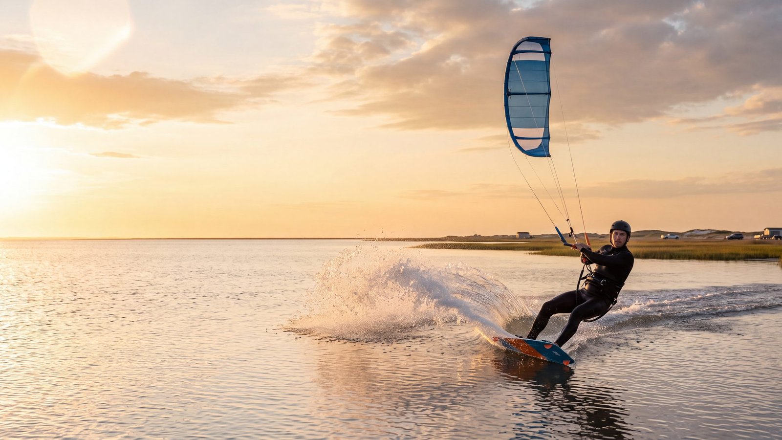
Canadian Hole, officially the Haulover Day Use Area, sits on the sound between Avon and Buxton: shallow, steady wind, and the ocean a dune-walk across the road. It is named for the Canadian windsurfers who started turning up in numbers in the 1980s and never really stopped. Parking, seasonal restrooms, and a sunset that is half the reason the cars are there.
The old names. Avon was Kinnakeet until the postal service renamed it in 1883, and families who go back still call themselves Kinnakeeters. Frisco was Trent until 1898. Listen on the island and you will hear both.
Buxton Woods — behind the lighthouse, and the stop nearly everyone drives past. About 3,000 acres, the largest remaining contiguous maritime evergreen forest on the Atlantic coast, with a 1,007-acre state reserve inside it. Shaded, quiet, and full of things that do not live on a beach.
The piers. Rodanthe Pier at 24251 Atlantic Dr is the old wooden one, walk-on access in season. Avon Pier at 41001 NC-12 has rod rentals and bait. Check each for current hours and terms.
The ORV beaches are the island’s signature: numbered ramps that put a real 4WD on the sand from Rodanthe to the inlet. A National Park Service ORV permit is required — $50 for 10 days, $120 annual, bought on Recreation.gov — nesting closures reshape access through spring and summer, and a night-driving restriction runs 1 May to 15 November, when ocean-side ramps shut at 9 p.m. The Cape Hatteras ORV permit guide has the current terms, and renting a 4WD is the way on if you did not bring one. Check the NPS beach status first, and the Hatteras tide times too — a rising tide narrows a drivable beach faster than people expect.
Graveyard of the Atlantic Museum — 59200 Museum Dr, Hatteras Village, beside the ferry docks. Free, Tuesday to Saturday, 10 to 5. Shipwrecks, the U-boat war fought within sight of this beach, and the life-saving service — told about a hundred yards from where it happened.
The Hatteras–Ocracoke ferry leaves from the village’s south end. A bit over an hour each way, no reservations, first come first served. The line builds fast in season: go early, or ride it at sunset and let the day end on the water.
Pea Island National Wildlife Refuge — thirteen miles of undeveloped barrier island at the north end, and the first thing you drive through coming south over the Marc Basnight Bridge. About 5,800 acres of beach, dune and brackish pond, with no houses and no lights on any of it. The visitor center sits on Highway 12 with spotting scopes and a board of recent sightings, and the North Pond Wildlife Trail runs about six tenths of a mile out along the dike — the best short walk on the island for waterbirds, at either end of the day.
Where to Eat & Stay
Each of the seven villages keeps its own small cluster of restaurants and seafood markets, and lodging is nearly all vacation rentals with a handful of small motels — book ahead in summer. Our full Outer Banks Restaurants guide covers the wider area.
If you need a beach-ready 4x4 on this end of the Banks, OBX Jeep Rentals covers Nags Head to Ocracoke.
Related OBX Guides
The Cape Hatteras Lighthouse sits in our lighthouse guide with the other four, and the fishing piers have their own. Everything else is in Things to Do in the Outer Banks. Hatteras Island is in Dare County’s Hurricane Evacuation Zone A, so know the hurricane evacuation routes and follow county orders when a storm is coming — on this island that is not a formality.
Locally verified
Reviewed by the Beach4x4 team in Kill Devil Hills, NC
Last checked: August 2026
Sources: the official park, town and county pages for this topic. Always confirm hours, fees, and closures with the official source before you go.
Can you climb the Cape Hatteras Lighthouse?
Not currently — the lighthouse is closed to climbing for all of 2026, and the National Park Service now expects the restoration to finish in summer 2027. The grounds and visitor area stay open, and Bodie Island Lighthouse is still climbable from late April through mid-October.
Do you need a permit to drive on Hatteras Island beaches?
Yes — a National Park Service ORV permit. Cape Hatteras ORV permits are purchased online through Recreation.gov; if you can’t print the proof of permit, self-certification display cards are available at NPS visitor centers and selected local businesses. Seasonal nesting closures apply, and a night-driving restriction runs May 1 through November 15.
How long is the ferry to Ocracoke?
The state-run Hatteras–Ocracoke ferry takes a bit over an hour and doesn’t take reservations. Arrive early in season.
What are the seven villages of Hatteras Island?
North to south: Rodanthe, Waves, Salvo, Avon, Buxton, Frisco, and Hatteras.
Where do people windsurf and kiteboard?
Canadian Hole, the sound-side day-use area between Avon and Buxton — shallow, steady wind, easy parking, and beginner-friendly water.