
The Outer Banks, mapped.
The Outer Banks is a chain of North Carolina barrier islands running from the Virginia line south to Ocracoke, where locals give directions by milepost instead of street address. Here are maps for every beach access, town, and attraction, plus live tides and water temperatures.
Sunrise … Sunset … Ocean tide …
Today on the Outer Banks → rip currents, surf, water temperature and tides, rebuilt every morning · the live cams →
Live wind and water over the banks
Live wind across the islands right now, with a second tab for sea-surface temperature.
Water temp is Windy’s sea-surface model. For the buoy readings, see Outer Banks water temperature.
The Outer Banks Mile Marker Map
Where the mile markers fall along Highway 12, and the towns, beaches and landmarks at each one.
Explore the Outer Banks
Each map below covers one subject across the whole Outer Banks.
Beach Accesses
Where to get on the sand, Corolla to Ocracoke.
Towns & Attractions
Each town, and what there is to do in it.
Where to Eat
The restaurants map — the places we send people.
Trails & Biking
Three maritime forests to walk, and the paved bike paths town by town.
Shipwrecks
The Graveyard of the Atlantic, visible from the beach.
Bears & Wildlife
Black bears and wild red wolves, twenty minutes past Manteo.
Pet Friendly
The OBX from a dog's point of view.
4x4 Beaches
Ramps and rules — Carova needs 4WD, Cape Hatteras needs an ORV permit.
Kildare Island
The show's name, decoded: Kill Devil Hills + Dare County, and 25 things to do on the real coast.
Lighthouses
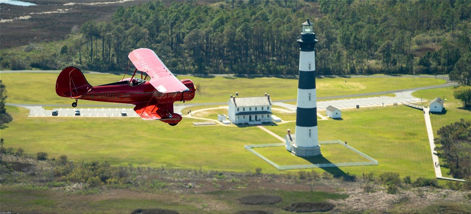
All five, and which ones you can climb.
Ferries
Every crossing to Ocracoke and the mainland.
What's Near My Address?
Type any Outer Banks address — the house you rented, a hotel, a friend's place. You get the town, the highway milepost, the nearest public beach access, the closest grocery store and urgent care, and whether you need 4WD to get there.
Outer Banks basics
By Bret Doman, owner of Beach4x4 in Kill Devil Hills. Last checked September 10, 2026.
- Locals give directions by milepost. The numbers start at MP 1 just past the Wright Memorial Bridge in Kitty Hawk and climb as you drive south.
- Driving on the beach in Cape Hatteras National Seashore takes a National Park Service ORV permit: $50 for 10 days or $120 for a year.
- Carova, past the end of the pavement north of Corolla, needs four-wheel drive but no permit to drive there.
- There is no bridge to Ocracoke. Every trip there is by ferry.
- Cape Hatteras Lighthouse is closed for climbing through at least the end of 2026. Bodie Island and Currituck Beach lighthouses open for climbing in season.
How long are the Outer Banks?
It depends where you stop counting. The Outer Banks Chamber of Commerce describes islands running south from the Virginia border for 120 miles. Wikipedia counts the full string of islands and spits at about 200 miles.
Where do the mileposts start?
At MP 1 in Kitty Hawk, just past the Wright Memorial Bridge. The numbers climb as you drive south to about MP 16.5 at Whalebone Junction in Nags Head, and they are the same on the Bypass and the Beach Road. Businesses often use them in their addresses, like “MP 12.5, Beach Road.” See the mile marker map.
Do I need a permit to drive on the beach?
In Cape Hatteras National Seashore, yes: a National Park Service ORV permit, $50 for 10 days or $120 for a year. The Carova 4x4 beach north of Corolla needs no permit to drive, only four-wheel drive, but Currituck County requires a permit to park on the sand from mid-May through late September. See the 4x4 beach access map.
How do you get to Ocracoke?
By ferry. The Hatteras–Ocracoke ferry takes about 70 minutes, runs first come, first served, and is free through the end of 2026. Tolls start on that route January 1, 2027, and the rates are still being set. The longer crossings from Cedar Island and Swan Quarter already charge a toll and take reservations. See the ferries guide.
Which Outer Banks lighthouses can you climb?
Bodie Island and Currituck Beach, seasonally and weather permitting. Cape Hatteras Lighthouse is closed for climbing through at least the end of 2026 for restoration. Ocracoke and Roanoke Marshes have never been open to climb. See the lighthouse guide.
When is hurricane season?
June 1 through November 30. Check the National Hurricane Center before a late-summer or fall trip, and leave when local officials order an evacuation. See the hurricane guide.
Named-storm refund: if a named storm is forecast to hit the Outer Banks, Beach4x4, our 4WD rental company in Kill Devil Hills, gives a full refund on multi-day rentals, deposit included. Contact us as soon as possible.