
Kill Devil Hills + Dare County, North Carolina
The real Kildare
Kildare Island is invented — the island in the Netflix series Outer Banks. Here are the two real North Carolina names hiding inside it, and fifty-four things to do on the coast it borrowed, rain or shine.
Jump to the list ↓The island is fictional; the two names inside it are not. Kill Devil Hills and Dare County are real places — and both of them are sitting inside Kildare. Say it in two pieces, Kil and Dare, and you have the first syllable of Kill Devil Hills and the whole of Dare County, the county Kill Devil Hills is in. Whether the writers built the name that way is theirs to say. What is on the map is not in doubt, and this page is about the map.
None of this needs the show. Every place below is real, open to the public and reachable by car or ferry — the series is just how most people arrive at the name.
Kildare is not the only invented name in the show. The other is Poguelandia, the island the Pogues wash up on and name for themselves in Season 3 — filmed in Barbados, nowhere near this coast. What is here instead is stranger: a real empty island with a whole abandoned town still standing on it.
Below: how the name connects to two real places, what Kildare County really is, and fifty-four things you can actually do on the coast the show borrowed — each with the map, the guide and the boat to get you there.
Kildare = Kill Devil Hills + Dare County
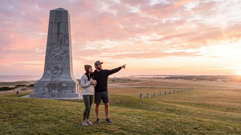
Kill Devil Hills is a real town in Dare County, North Carolina, halfway down the Outer Banks between Kitty Hawk and Nags Head. It is where the Wright brothers flew on December 17, 1903 — the granite monument stands on the big dune above the field — and the story goes that the town’s own name comes from a rum strong enough to kill the devil. It is also where the beach-ready 4x4s on this page leave from: Beach 4x4 works out of a lot on Colington Road, in the town whose first syllable opens the show’s name. Things to do in Kill Devil Hills has the rest.
Dare County is the county Kill Devil Hills sits in, and it covers most of the coast the show is drawn from — Duck, Kitty Hawk, Kill Devil Hills, Nags Head, Roanoke Island and all of Hatteras Island. It is named for Virginia Dare, the first English child born in the Americas, on Roanoke Island in 1587, in the colony that vanished. Put the two names together and you have the show’s county. Kildare Island itself is not on any chart, and the series is filmed around Charleston, South Carolina, with recent seasons shooting overseas — but the coastline the writers drew from is this one: a hundred-plus-mile string of barrier islands from Corolla down through Hatteras to Ocracoke, with four lighthouses, one road and two ferries.
Is Kildare Island real? has the full is-it-real answer and the side-by-side map, and it puts every borrowed place on the chart. This page is the other half: the two real names inside the made-up one, and what you can actually do in the places they belong to.
Kildare County, North Carolina
On the show, Kildare County is the whole world — the Cut, Figure Eight, the marsh, the sheriff. On the map, the same stretch of coast is three counties. Dare County covers most of it, with its seat in Manteo. Currituck County has the northern beaches, Corolla and the 4x4 sand up to Carova. Hyde County has Ocracoke, which you reach by ferry. Ireland has a County Kildare too; it is a long way from the surf.
The Outer Banks maps lay the three counties out end to end; the Corolla & Carova map is Currituck, the Hatteras Island map is the long tail of Dare, and Ocracoke is Hyde. Manteo is where the real county keeps its courthouse.
The prequel is called Kildare
As the final season arrived, the series’ creators, Josh Pate and Shannon Burke, said a prequel with the working title Kildare was being written for Netflix — set about twenty years earlier, in the parents’ generation, telling how the island split into Kooks and Pogues. No cast, filming location or date had been announced when this page was last checked. So the name is about to get busier, and the two real places inside it are not going anywhere.
Things to do in Kildare — the real one
Tap a picture to jump to it, filter by the kind of day you want, or let the island pick for you.
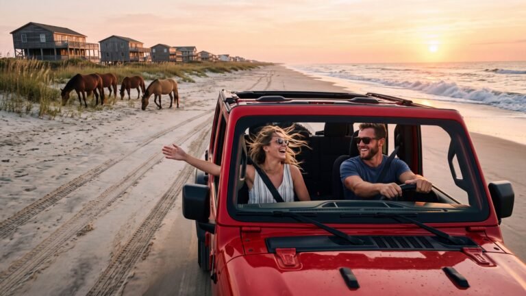 1Be a Pogue for a day
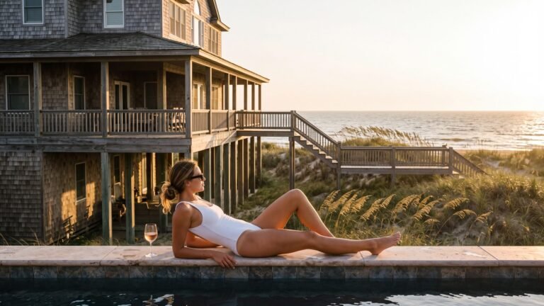 2Live like a Kook
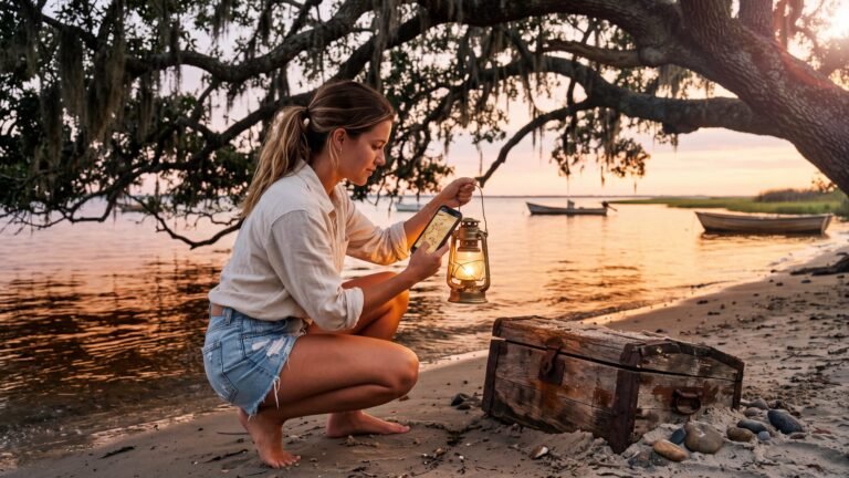 3Find the gold
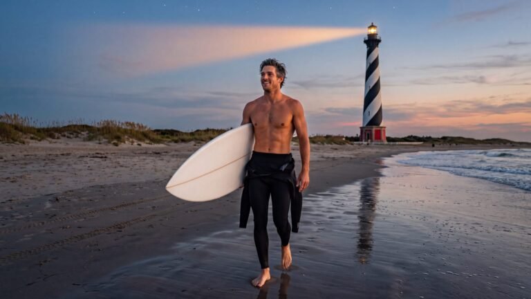 4Keep the light
 5Climb the light
 6Fish the fall run
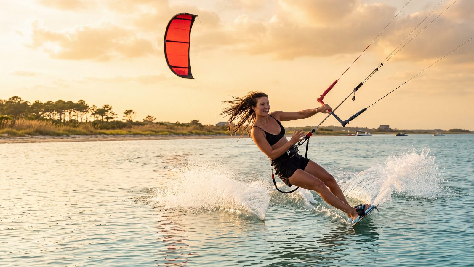
 7Kiteboard Canadian Hole
 8Hang glide off Jockey’s Ridge
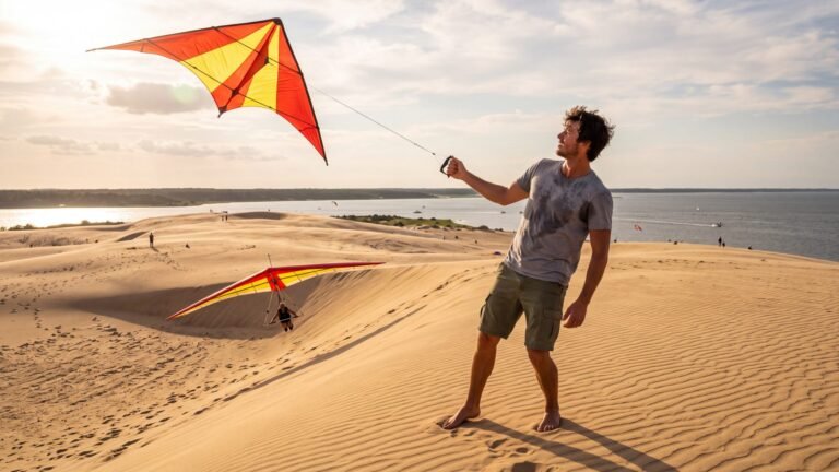 9Fly a kite on Jockey’s Ridge
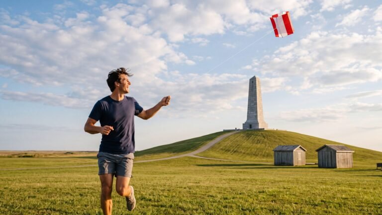 10Fly a kite where flight began
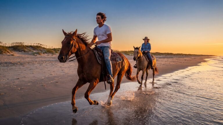 11Ride a horse on the beach
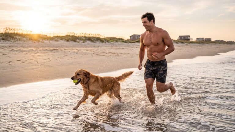 12Run a dog on the sand
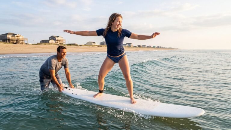 13Stand up on a wave
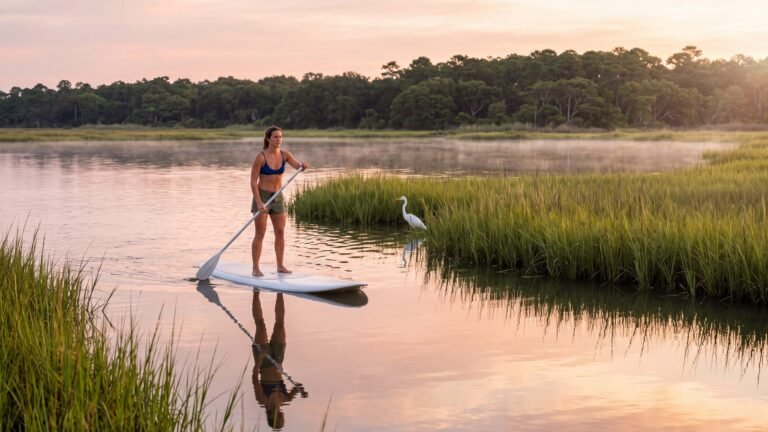 14Paddle out before the wind
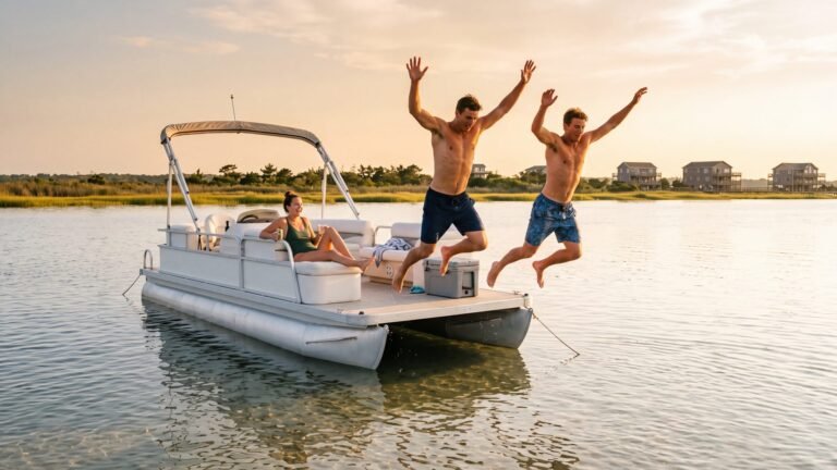 15Drift the sound on a pontoon
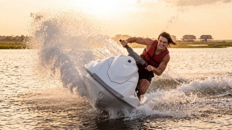 16Open the throttle on a jet ski
 17Parasail over the sound
 18Meet the dolphins
 19Catch dinner off a dock
 20Fish the blue water off Oregon Inlet
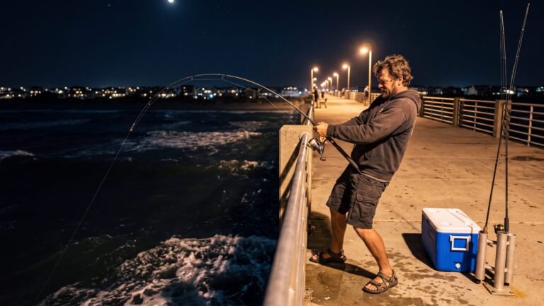 21Fish the pier under the lights
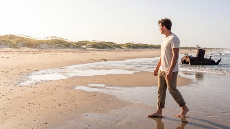 22Walk to a shipwreck23Stand where flight began24Drive NC-12 end to end
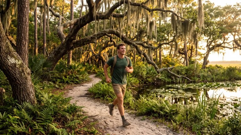 25Walk a maritime forest
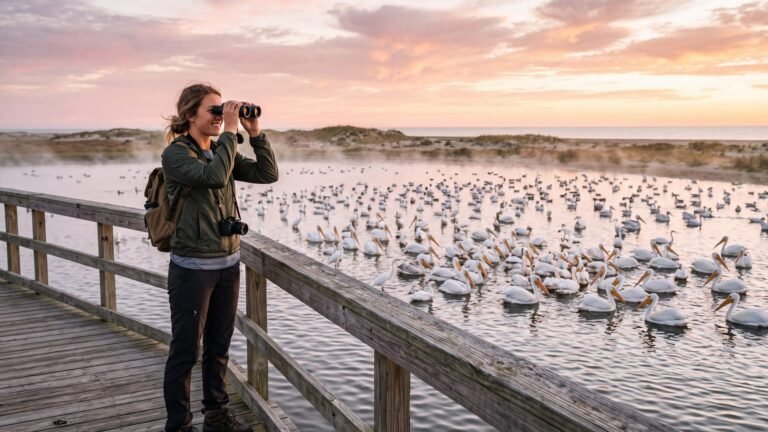 26Bird Pea Island at sunrise
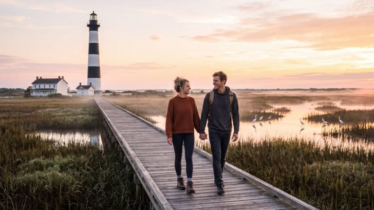 27Walk the boardwalk to the Bodie Island Light
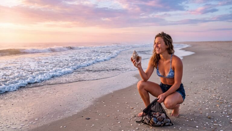 28Shell the tide line at dawn
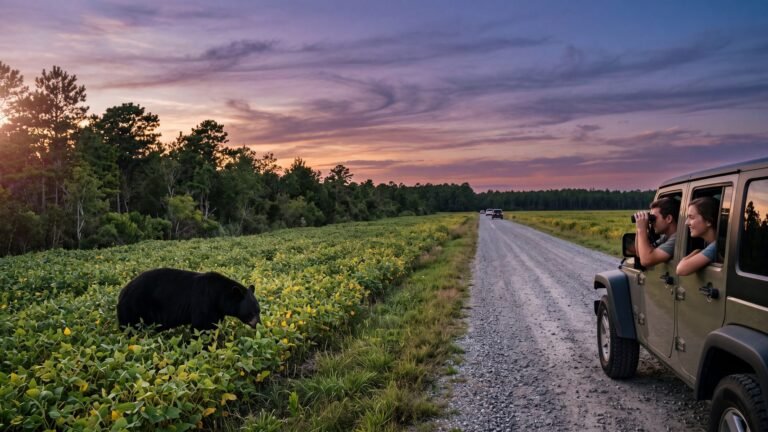 29See a black bear at Alligator River
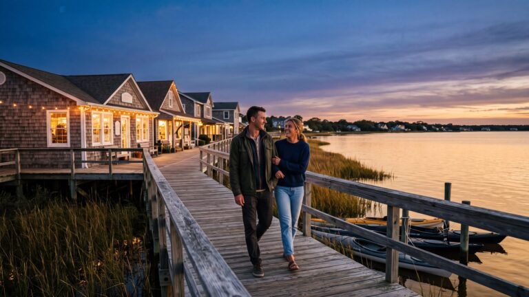 30Walk Duck’s boardwalk at sunset
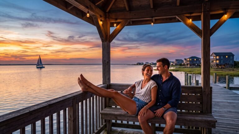 31Catch the sunset from the Kill Devil Hills gazebo32Walk the Manteo waterfront at dusk
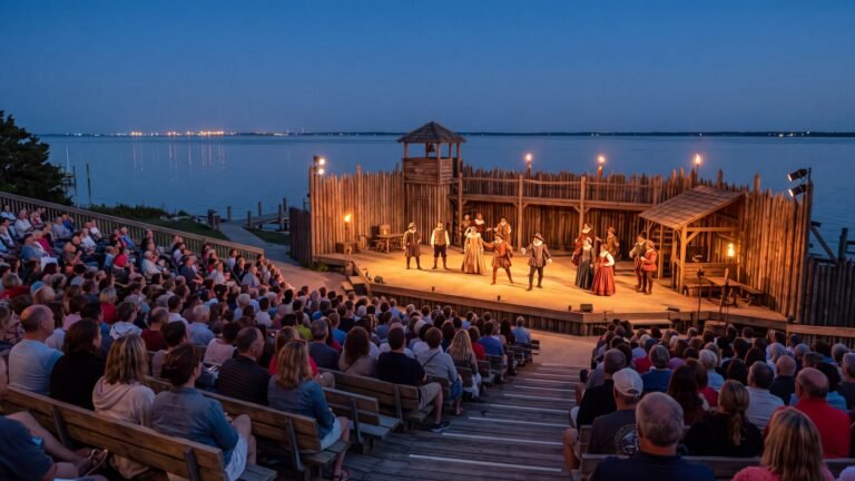 33See The Lost Colony under the stars
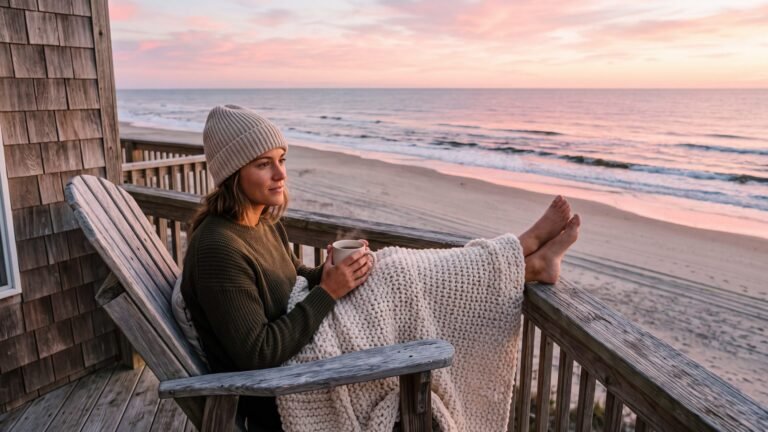 34Drink your coffee facing the sunrise
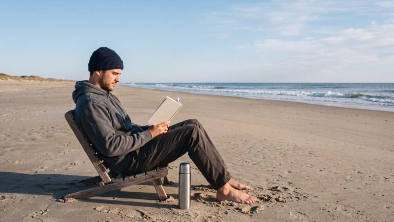 35Read a book on an empty October beach
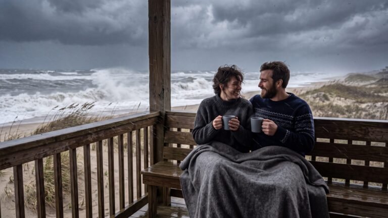 36Watch a nor’easter from the porch
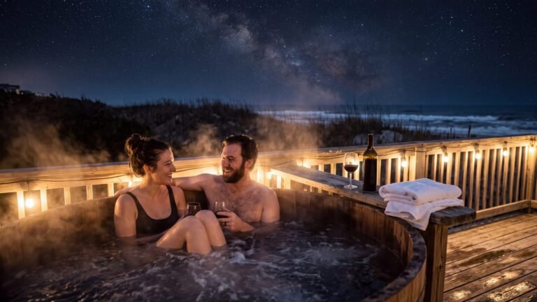 37Soak in a hot tub under the stars
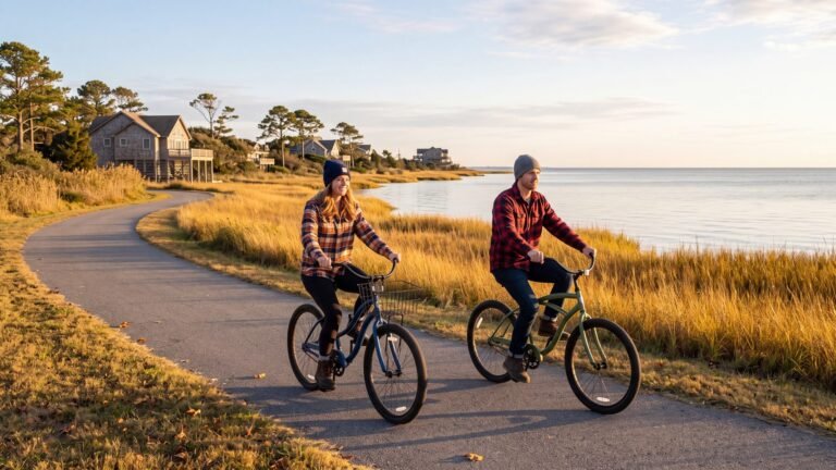 38Bike the sound side in flannel
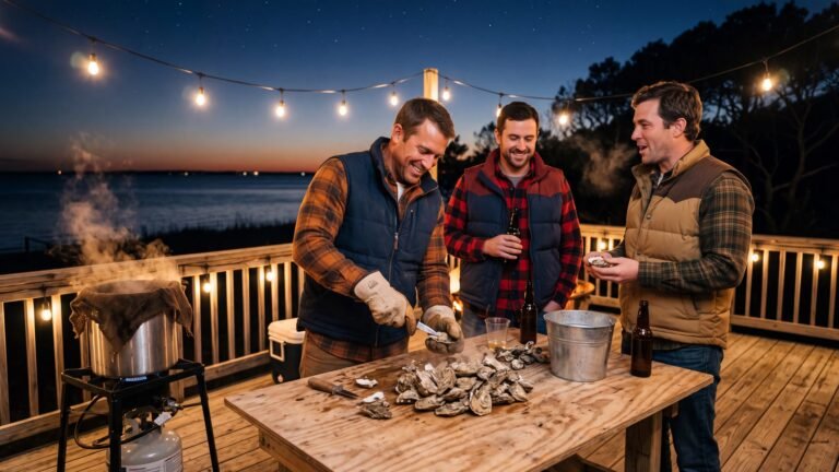 39Roast oysters on the deck
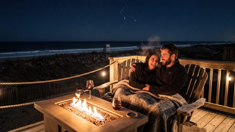 40Light the fire table, not the beach
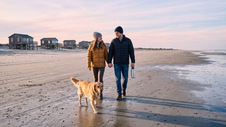 41Walk the winter beach with the dog
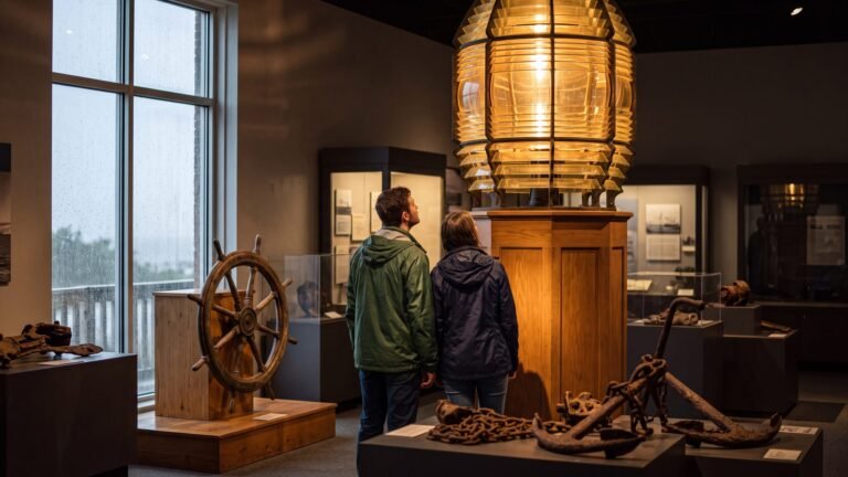 42Ride out the rain at the Graveyard of the Atlantic Museum
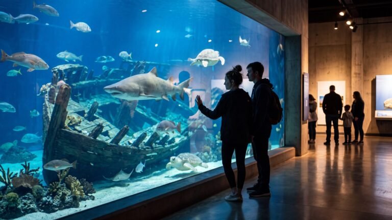 43See the aquarium’s shipwreck tank
 44Stand under the 1903 Flyer
 45Tour Whalehead
 46Walk the 1874 life-saving station
 47Cook the catch
 48Rig up for the fall run at the kitchen table
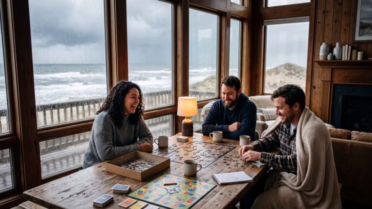 49Puzzle, board game, coffee, rain
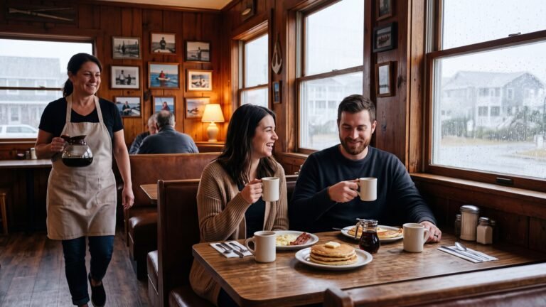 50A long diner breakfast
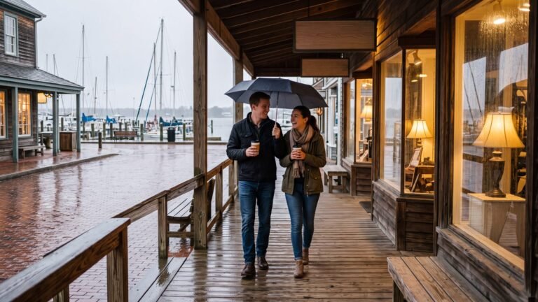 51Wait it out in Manteo
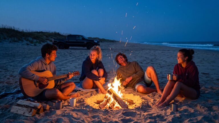 52Light a fire on the beach
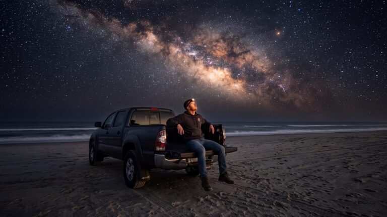 53See the Milky Way
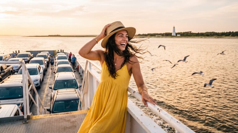 54Take the ferry to Ocracoke
1. Be a Pogue for a day
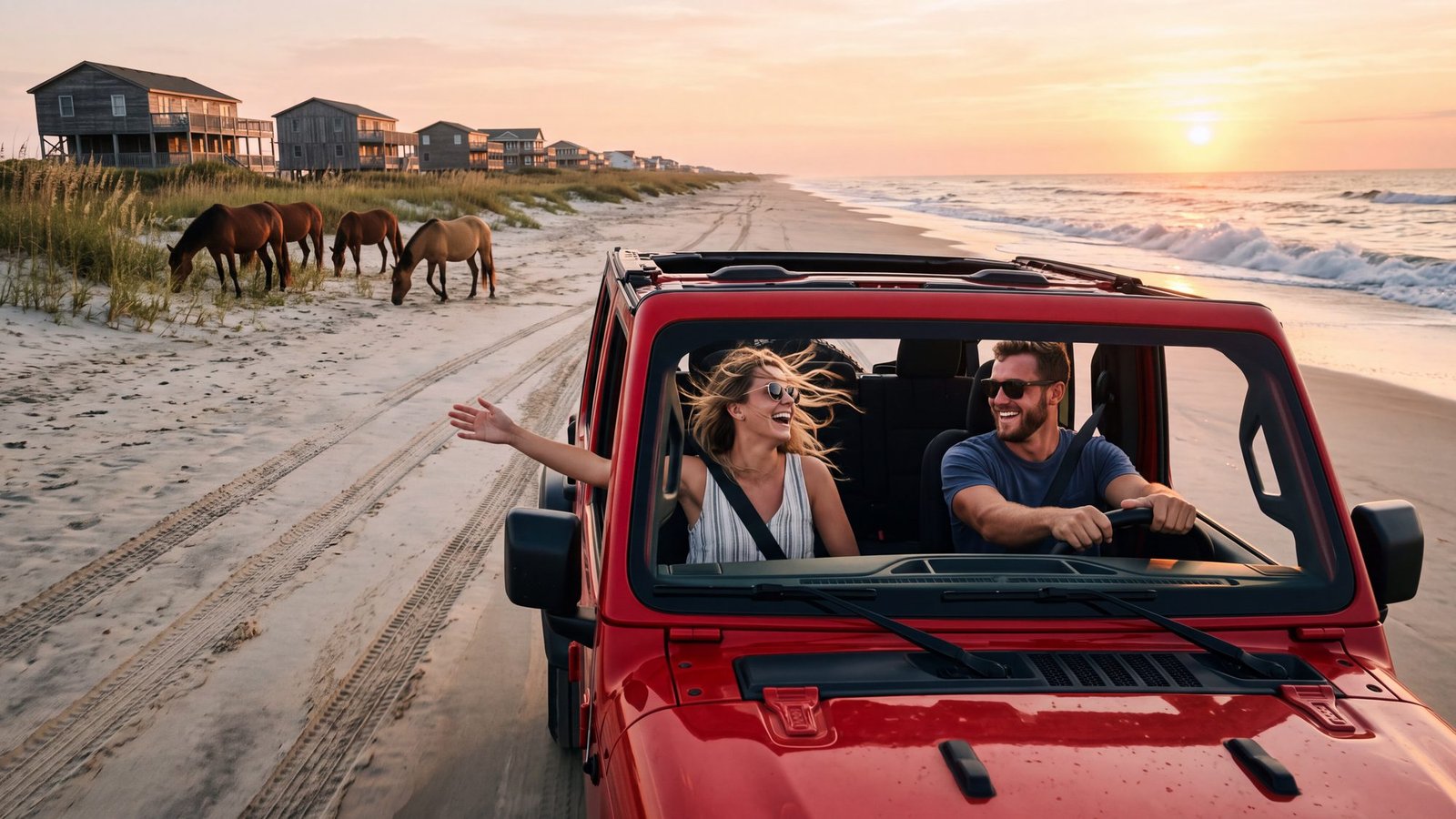
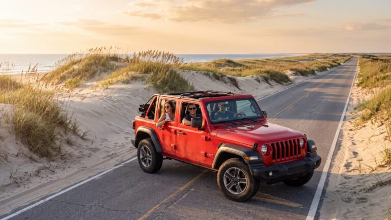
The idea: the top folded back, the windows down, the beach for a highway and nobody to tell you no.
The real thing: the real thing, and it is better than the show’s version because it is 11 miles long. North of Corolla the pavement simply ends and the sand takes over — that is the road to Carova, Swan Beach and Penny’s Hill, houses standing in the dunes with no street to reach them, and the wild horses grazing in the front yards. Start with the Corolla & Carova map and the 4x4 beach access map.
The twist: the sand decides who drives it. Air the tires down before the ramp, know the tide, keep 50 feet from the horses, and carry the county’s beach parking permit if you stop on the sand in summer — the airing-down guide and the permit guide, beach by beach, are the two pages that keep a good day from becoming a tow bill. A beach-ready rental arrives with the permits and the deflator already on board, which is the closest thing this coast has to a shortcut.
2. Live like a Kook
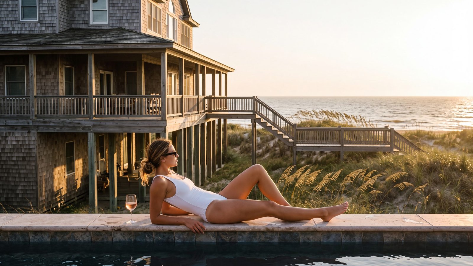
The idea: the big house on the water, the pool, the porch that wraps all the way around, a week where the hardest decision is which deck gets the sunset.
The real thing: the northern beaches — Duck, Southern Shores and Corolla — where the shingled oceanfront houses on pilings run for miles and most of them rent by the week. The show put its rich side on a place called Figure Eight; the real Figure Eight Island is a private island near Wilmington, about 200 miles southwest, and it is not taking guests. This coast is. Where to stay, town by town · Duck · Corolla.
The twist: there is no other side of the island. The same people who rent the porch drive the sand on Tuesday and stand in the surf on Wednesday. Pogues and Kooks were a plot device; here the divide is roughly the width of a boardwalk.
3. Find the gold
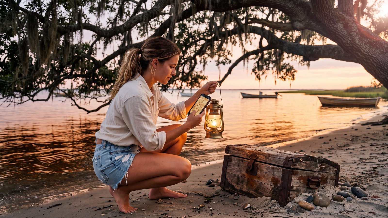
The idea: a map, a clue, a chest, and the moment the shovel hits wood. On the show it was Blackbeard’s captain’s log, an amulet off the wreck of his sloop Adventure, and the Blue Crown at the end of it; how much of that is real is its own story.
The real thing: the one pirate story on this coast that needs no writers’ room. Blackbeard was real, he anchored off Ocracoke, and he died there in the fight at Teach’s Hole on November 22, 1718. Whether anything was ever buried is a question three centuries have not settled, and that open question is exactly what Blackbeard’s Gold is built on — a real treasure hunt played on Ocracoke itself, on your own phones, $29 a team, up to six players. Blackbeard on the Outer Banks is the record; the hunt is how you walk it.
The twist: the treasure is Ocracoke. You will spend the afternoon in the village lanes, under those live oaks, at Springer’s Point where the water goes quiet — and somewhere around the third clue you will notice you stopped caring about the chest. Things to do in Ocracoke for the rest of the day.
4. Keep the light
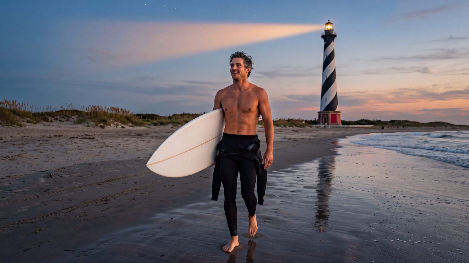
The idea: the lighthouse from the show — the one with the secret at the top.
The real thing: four real ones, and none of them needs a secret. Cape Hatteras is the tall one in the black-and-white barber-pole spiral, the tallest brick lighthouse in the country. Bodie Island wears horizontal bands, Currituck Beach was never painted at all, and Ocracoke’s is the short white tower among the village cottages, the oldest still working in North Carolina. All four are on the lighthouse map, with what you can climb and when.
The twist: the light moved. In 1999 the whole Cape Hatteras tower was jacked up and rolled 2,900 feet inland to get it away from the ocean that was about to take it. Nobody on television has ever tried that.
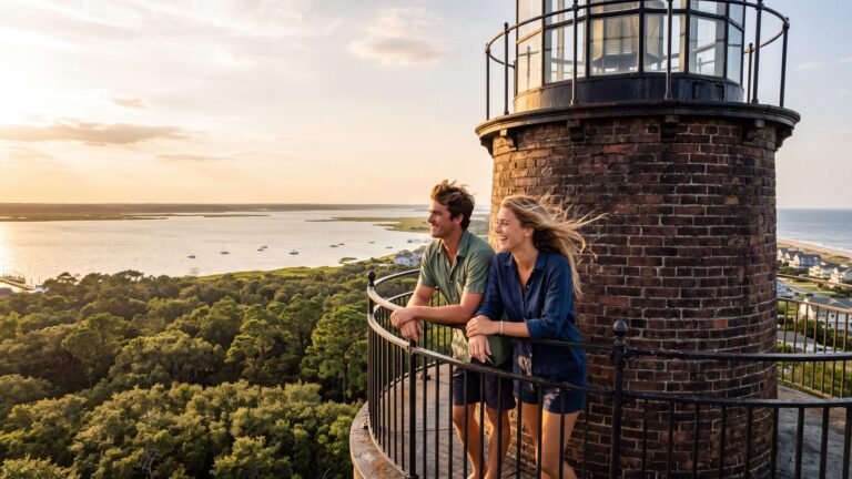
5. Climb the light
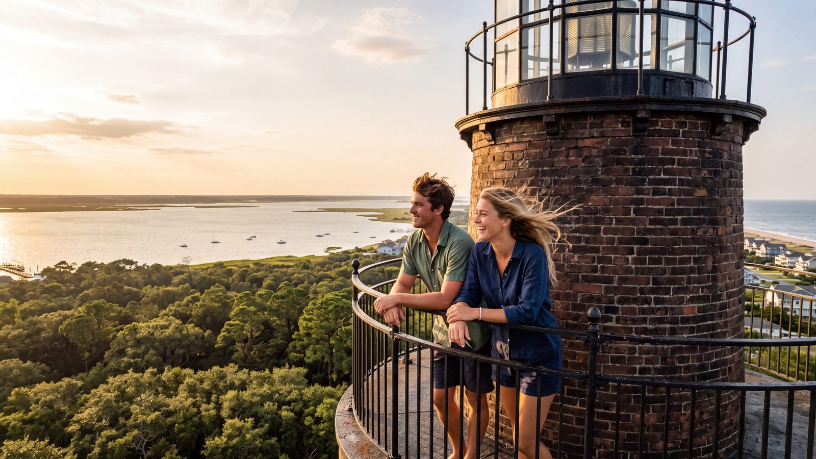
The idea: the spiral stairs, the door at the top, and the whole island laid out under you.
The real thing: Currituck Beach Light in Corolla — the unpainted one — is the northern climb, with the sound on one side and the beach on the other from the gallery, and Bodie Island in its horizontal bands south of Nags Head is the other, seasonally. Cape Hatteras, the one everybody wants, is closed to climbers until at least summer 2027 while it is restored. The lighthouse map keeps the who-can-climb-what current; lighthouses by 4x4 strings them into a drive.
The twist: the keeper’s job was the stairs. Every night, every lamp, up and down in the dark — the view you climb for once was somebody’s commute.
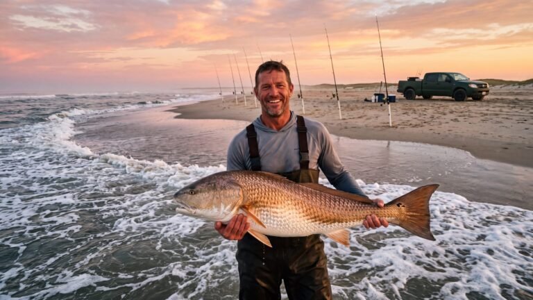
6. Fish the fall run
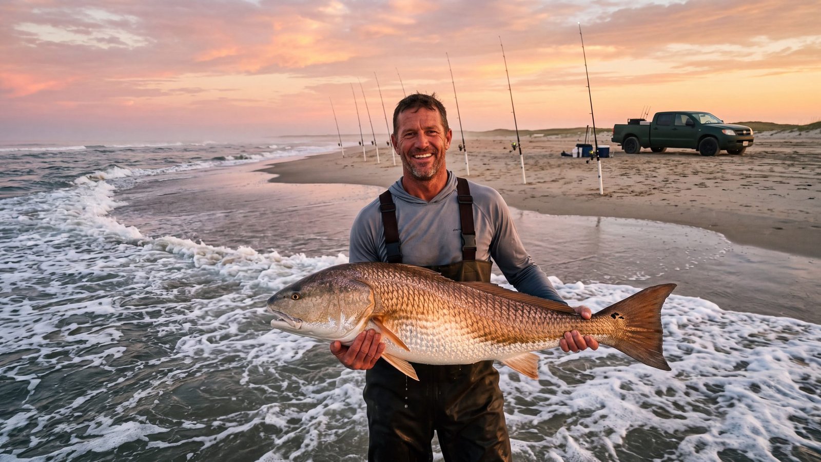
The idea: a rod bent double at sunrise, something big and bronze in the foam, and a beach with nobody else on it.
The real thing: October and November on Hatteras Island, when the water cools and the red drum run the points. Cape Point is the religious experience; the whole season is mapped in the red drum guide and the October guide, and the live conditions page reads the water temperature and the tide for you before you drive down.
The twist: the fish keep the show’s hours, not yours. Dawn and the last of the light, on a moving tide — the drum tide windows are the alarm clock.
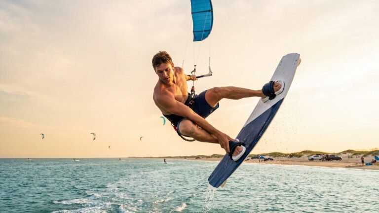
7. Kiteboard Canadian Hole
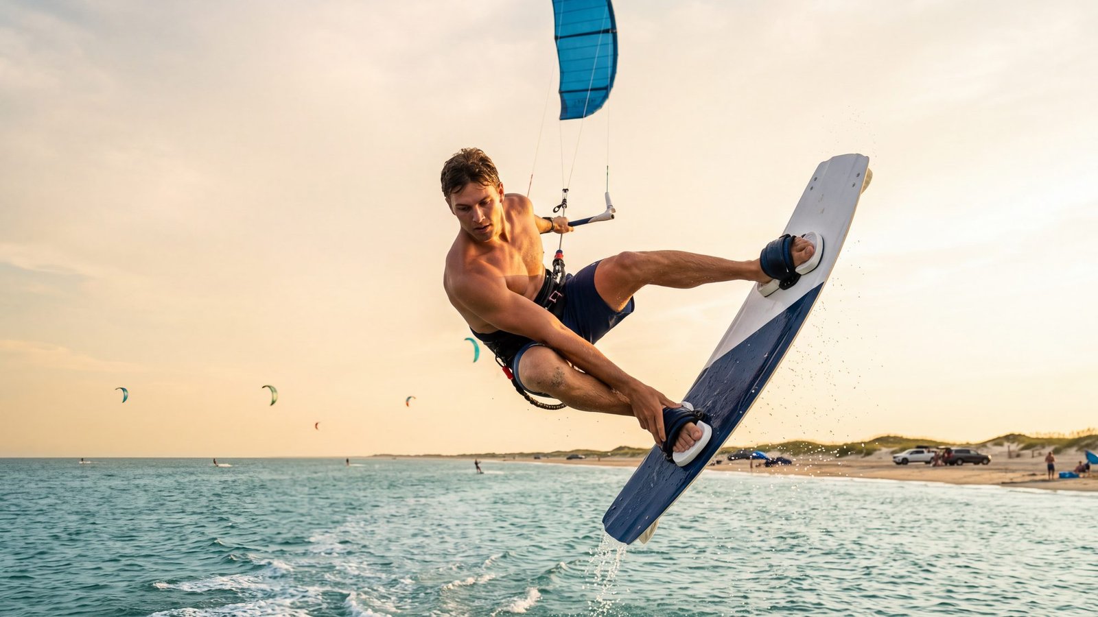
The idea: to leave the water entirely — wind, a kite, and a long hang in the air before the board comes back down.
The real thing: Hatteras Island, which the kiteboarding world found long before television did. The sound side between Avon and Buxton — the Haulover day-use area that everybody calls Canadian Hole — is flat, shallow and open to the wind, and the ocean is a short walk across the road for the days you want waves instead. Lessons and gear are in Avon and the tri-villages. Things to do on Hatteras Island and the Hatteras Island map put it all on the chart; the Avon guide has the kiteboarding side of town.
The twist: the wind keeps the calendar. The best afternoon of your week will not be the one you planned; it will be the one where the flags stand straight out and everyone with a kite drops what they were doing.
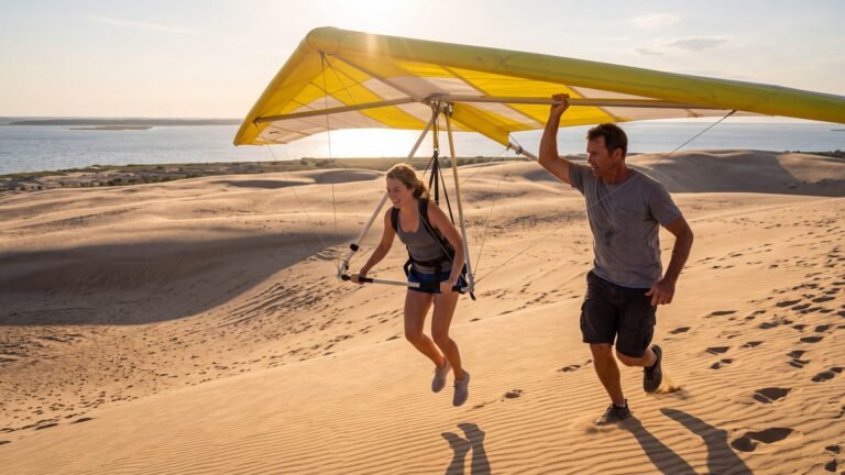
8. Hang glide off Jockey’s Ridge
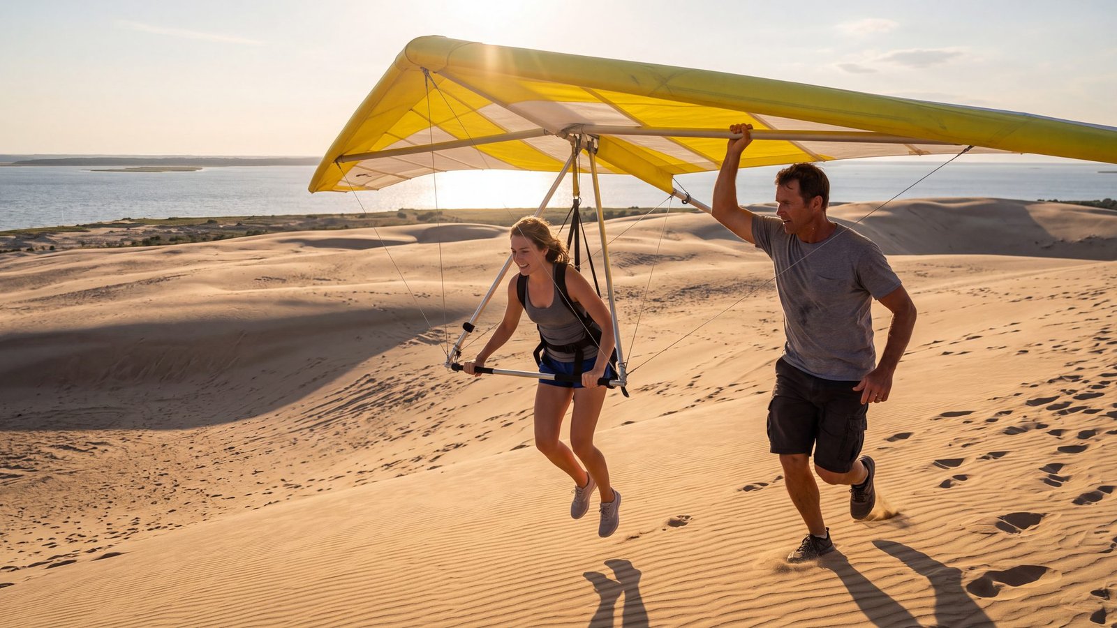
The idea: not a kite on a string. Your own wing.
The real thing: a hang-gliding lesson off the dunes at Jockey’s Ridge, where the gliders you watched from the crest launch every day of the season. A few running steps down the slope, the wing takes your weight, and for a handful of seconds you are flying, with soft sand for the landing. Things to do in Nags Head puts the ridge and the rest of the town on one map.
The twist: the first flight is short. So was the Wrights’ — twelve seconds counted, and it happened a few miles up the road.
9. Fly a kite on Jockey’s Ridge
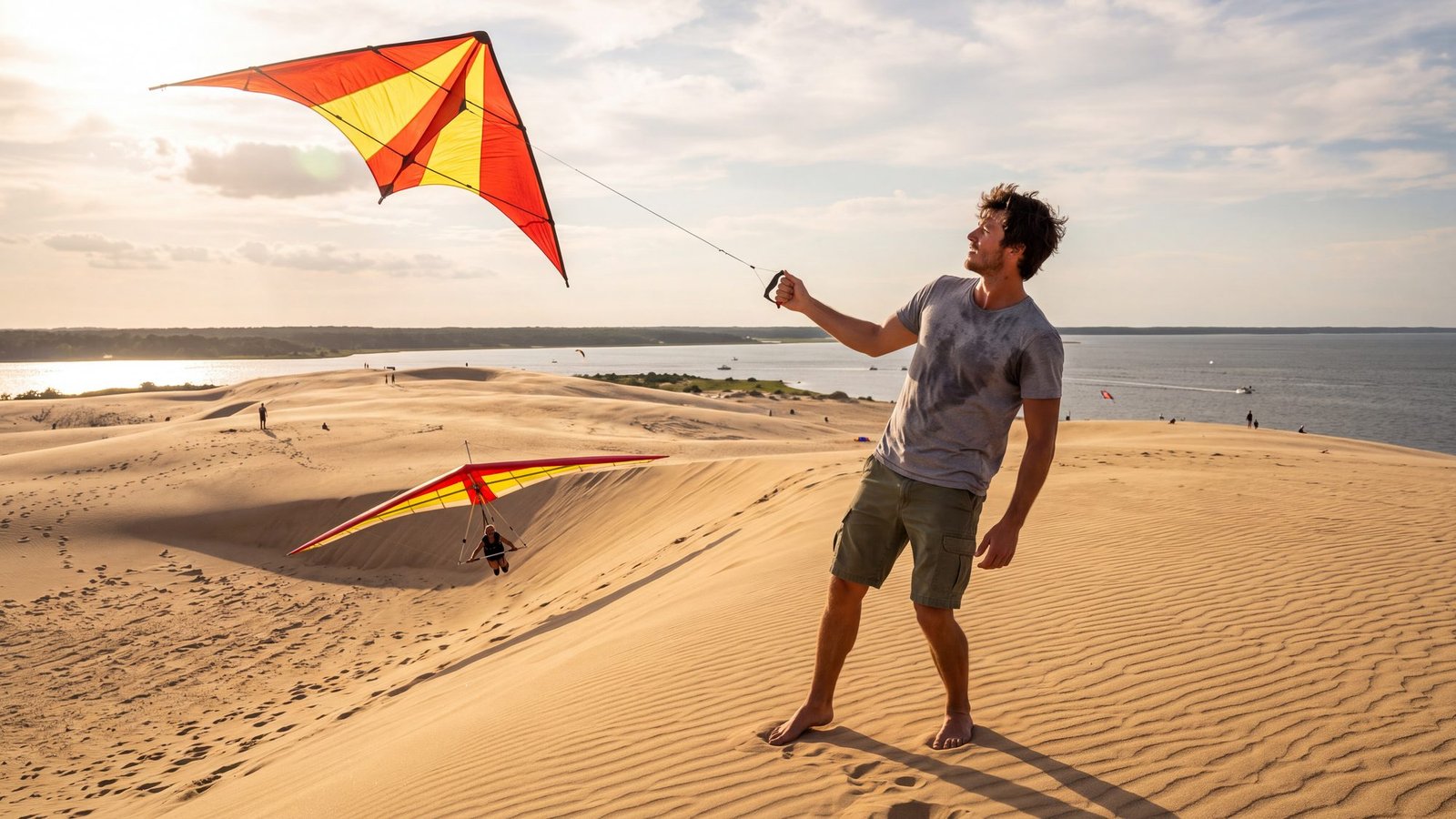
The idea: a kite in a big wind on a hill of sand, and to feel the string pull.
The real thing: Jockey’s Ridge, the tallest living sand dune system on the Atlantic coast, at milepost 12 in Nags Head — a wind that never really quits, a summit the sand makes you earn barefoot, and the hang gliders launching off the same slope. Stay for the sunset. Things to do in Nags Head and the milepost guide get you there.
The twist: the dune moves. It walks with the wind a little every year, which is why nothing is built on it and why the view from the top is never quite the same twice.
10. Fly a kite where flight began
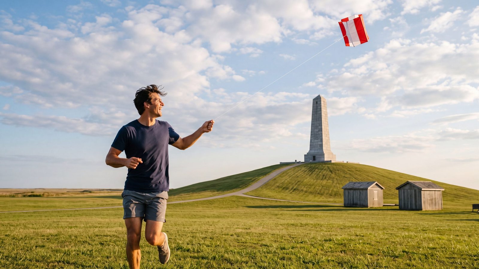
The idea: to fly something at the place where flying started.
The real thing: the Wright Brothers National Memorial in Kill Devil Hills, where the Park Service invites you to bring a kite onto the big field around the reconstructed camp buildings and the flight line — the same Kitty Hawk wind Wilbur and Orville tested their kites in before the 1903 Flyer. Four granite markers trace the first flights: 12 seconds and 120 feet on the first. An entrance fee applies. Things to do in Kill Devil Hills has the hours trick and the rest of town.
The twist: the Wrights started with kites too. Before there was an engine there was a box kite on strings, and the hip cradle that steered the Flyer was worked out on kites first. You are not playing; you are re-running the experiment.
11. Ride a horse on the beach
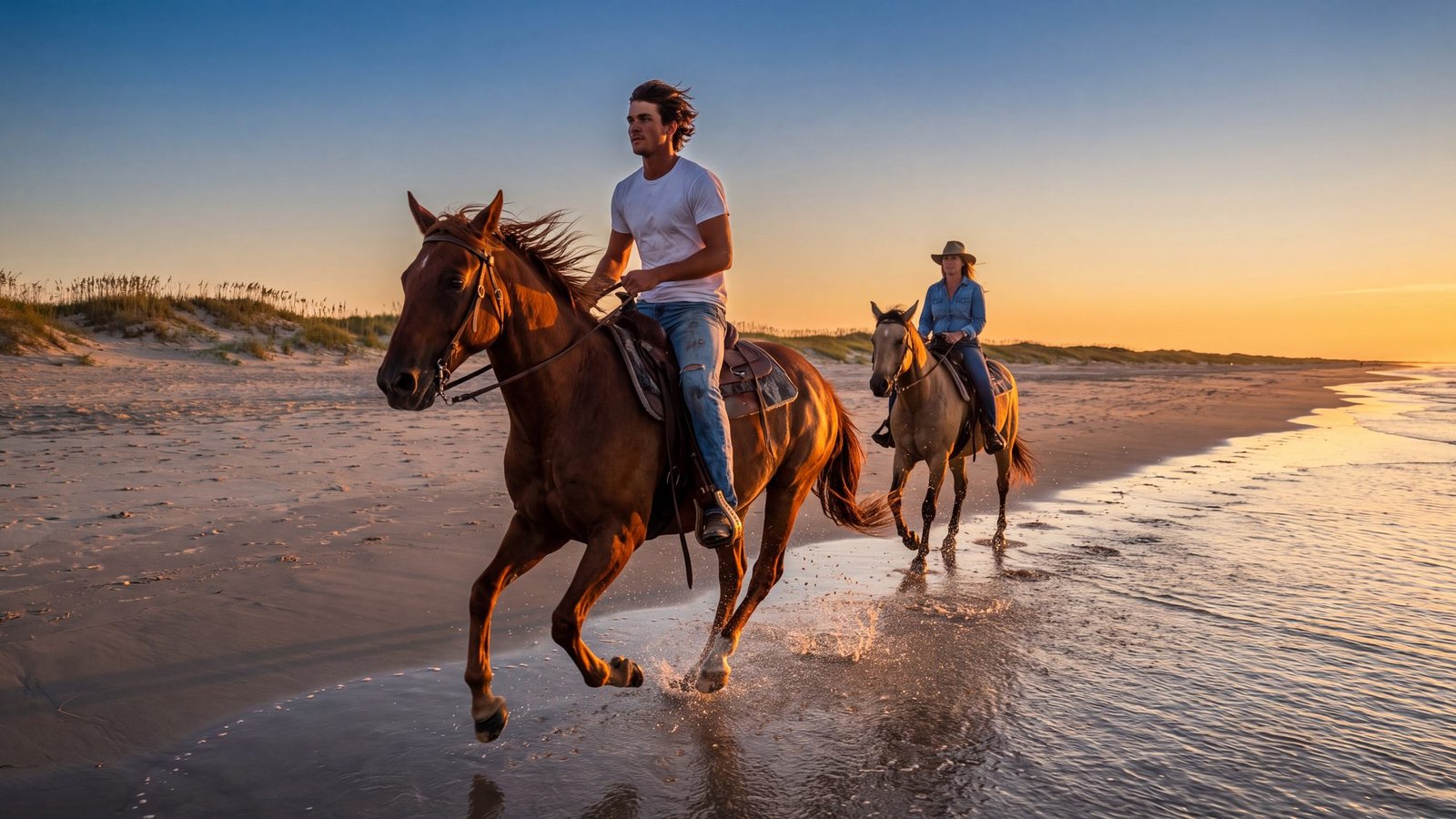
The idea: a horse at a canter along the water’s edge, spray off the hooves, and nobody else for a mile.
The real thing: guided beach rides — out of Frisco, Buxton and Hatteras village on Hatteras Island, on Ocracoke, and off the Nags Head oceanfront. Real horses on real sand, wading in when the water is warm. Hatteras Island · Ocracoke · Nags Head have the rest of each day.
The twist: the pace is set by the tide and by how much saddle time you bring. The walk along the water is everyone’s; the canter is earned.
12. Run a dog on the sand
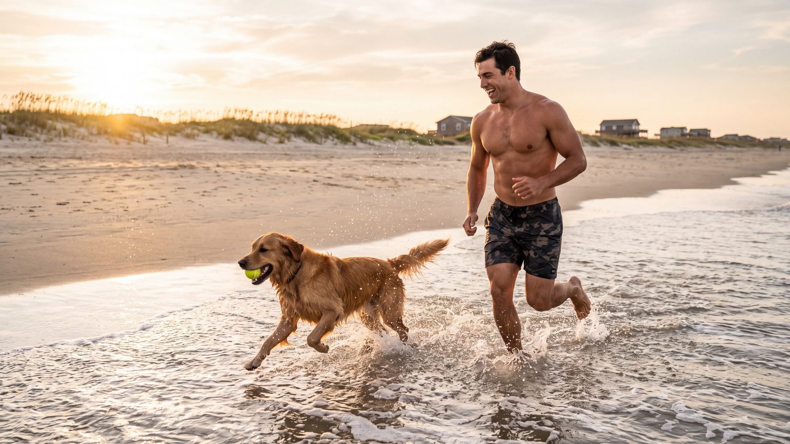
The idea: the dog off the leash, the ball in the surf, and a wet, sandy animal asleep in the back of the truck by noon.
The real thing: eight towns with eight rule books, and one of them — Duck — lets a dog run unleashed under your control. The national seashore and the 4x4 beaches want a leash year-round, and Kill Devil Hills and Southern Shores clear the sand of dogs in the middle of a summer day. Dog-friendly beaches, town by town reads every town’s own code so you don’t have to; dogs on the 4x4 beach covers Carova, and dog-friendly Outer Banks is the map.
The twist: the beach is harder on the dog than on you — hot sand at noon, salt water he will drink, a dune he is not allowed on. The hazards page is the one to read on the drive down.
13. Stand up on a wave
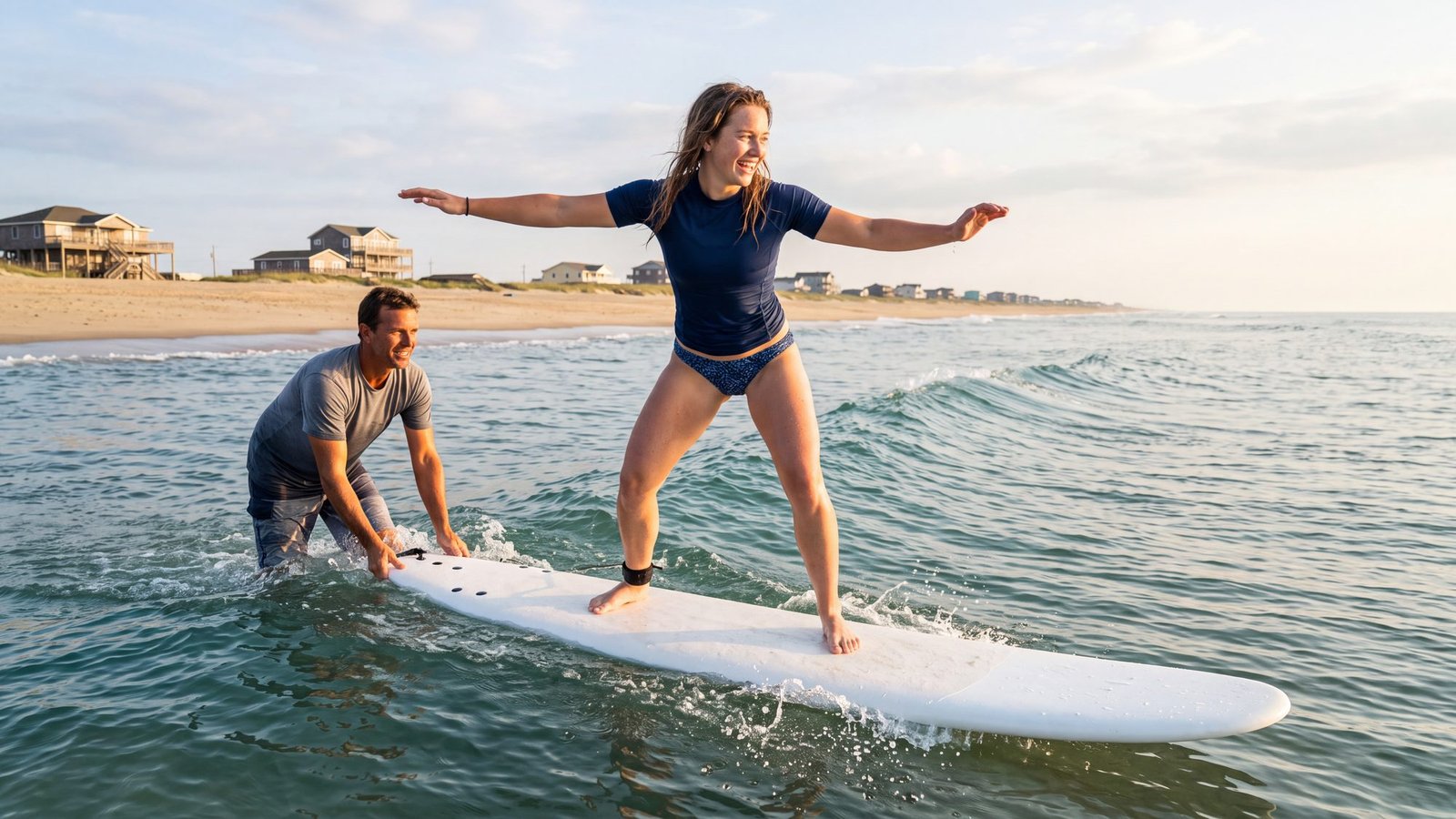
The idea: to stand up on one, just once, and mean it.
The real thing: a lesson on a soft-top longboard on a small day. Shops in Kitty Hawk, Avon, Buxton and Hatteras rent boards and some teach; the northern beaches are the easy school, and S-Turns at Rodanthe and the Old Lighthouse break at Buxton are where you go once you have stood up. Surfing the Outer Banks by 4x4 has the breaks; Things to do in Kitty Hawk has the town.
The twist: the wave you stand up on will be knee-high, and you will remember it longer than any of the big ones.
14. Paddle out before the wind
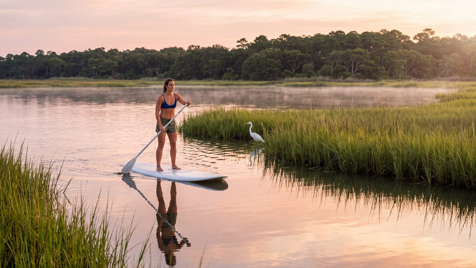
The idea: flat water, first light, and nobody else awake.
The real thing: the sound side before the wind — Kitty Hawk’s Sandy Run Park has kayak launches into the marsh and its resident turtles, the Kitty Hawk Woods reserve is the maritime forest behind it, and the calm side of every town has a launch somewhere. Things to do in Kitty Hawk, the sound-side guide, and kayaking with a dog if the dog is coming.
The twist: the glass lasts until mid-morning. When the flags on the houses go stiff, be back at the launch.
15. Drift the sound on a pontoon
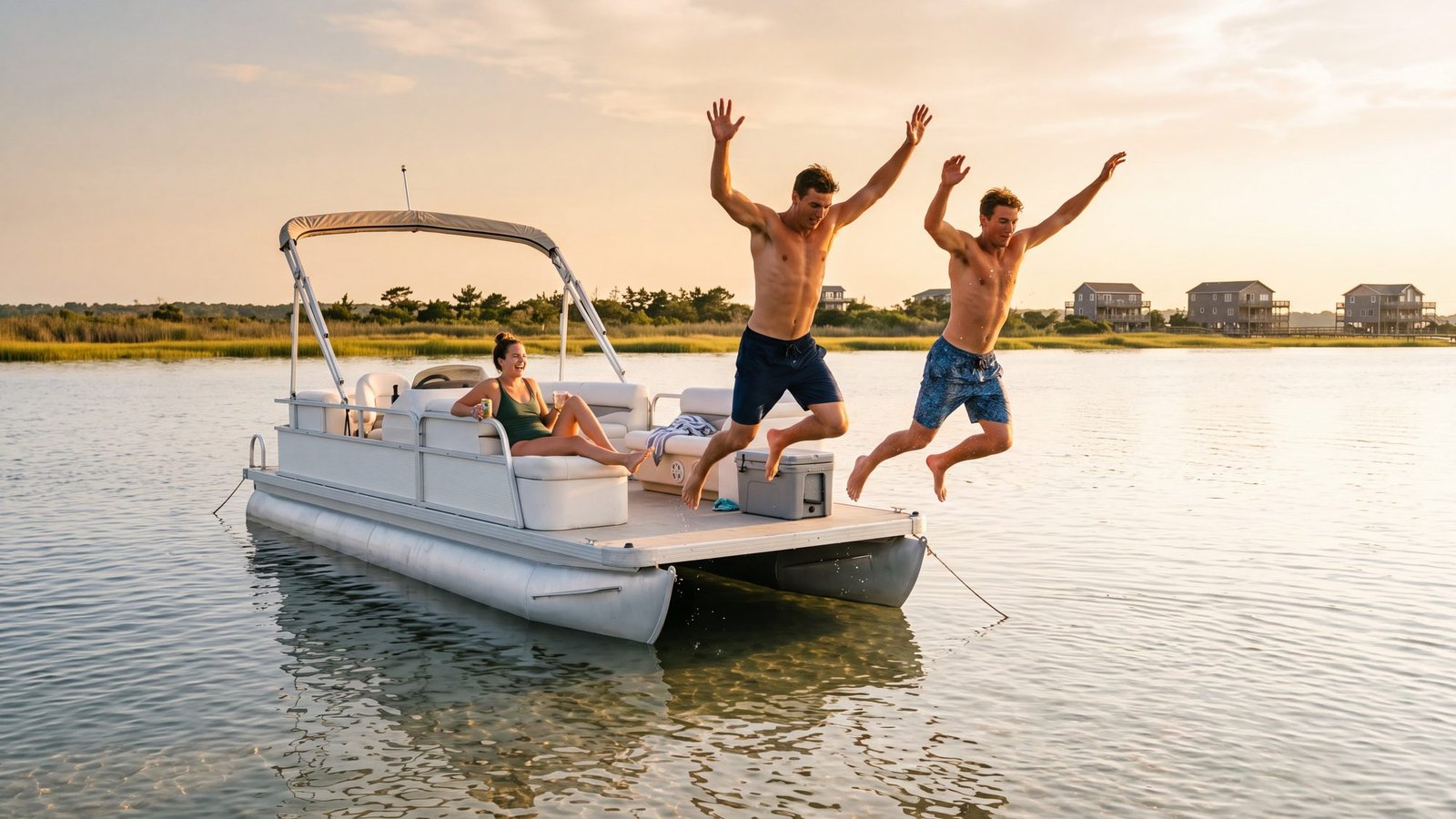
The idea: a boat, a cooler, a sandbar and nobody’s schedule.
The real thing: the sounds — Currituck, Albemarle, Roanoke, Pamlico — miles of water a few feet deep, warm by early summer, and pontoon rentals on the sound side of Duck, Kitty Hawk, Nags Head and Manteo. The sound-side guide covers what the calm side of the island is for; Manteo and Duck are the two towns built around it.
The twist: the water is shallow enough to stand in a long way from shore, which is the whole point and also the whole hazard. The channel markers are not decoration, and the wind that made the afternoon flat can turn it to chop in an hour.
16. Open the throttle on a jet ski
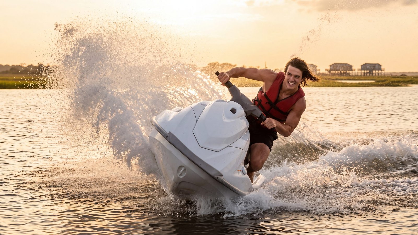
The idea: throttle, spray, and a wide-open sound.
The real thing: personal watercraft rentals on the sound side from Duck down to Nags Head and across to Manteo, on water that stays flat when the ocean will not. The sound-side guide lays out the calm side; the Currituck Sound page explains why the sound barely has a tide and the wind runs the water instead.
The twist: the sound is shallow and the wind owns it. A southwest afternoon blow turns the flat water to chop in an hour — the glass is in the morning, and the morning is when the rental places are quiet.
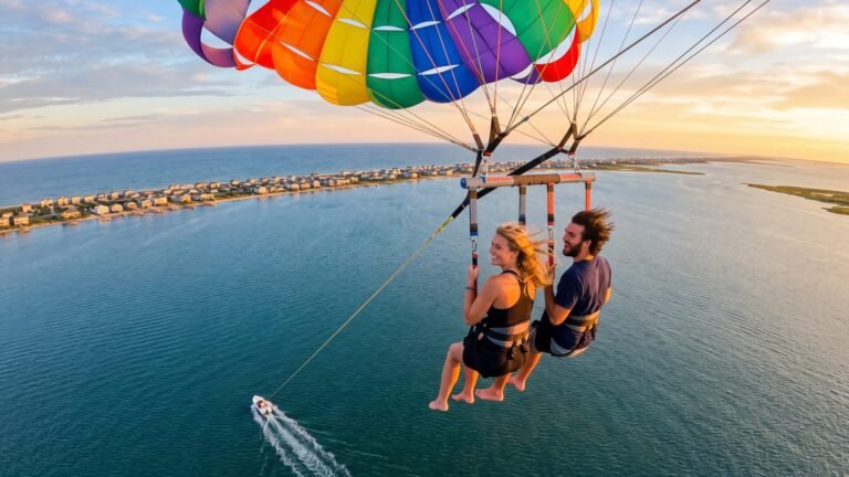
17. Parasail over the sound
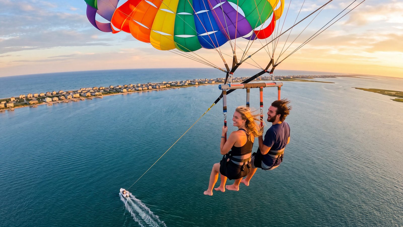
The idea: to go up on a line and see the whole thing at once.
The real thing: parasailing off the sound side in Nags Head and Duck. The boat does the work; you go up a few hundred feet on a line and see the barrier island the way the maps draw it — ocean on one side, sound on the other, a strip of houses between. Nags Head · Duck.
The twist: the island is thinner than you thought. From up there the whole argument of this coast — sand between two waters — takes about one glance.
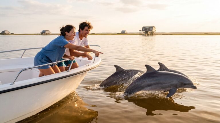
18. Meet the dolphins
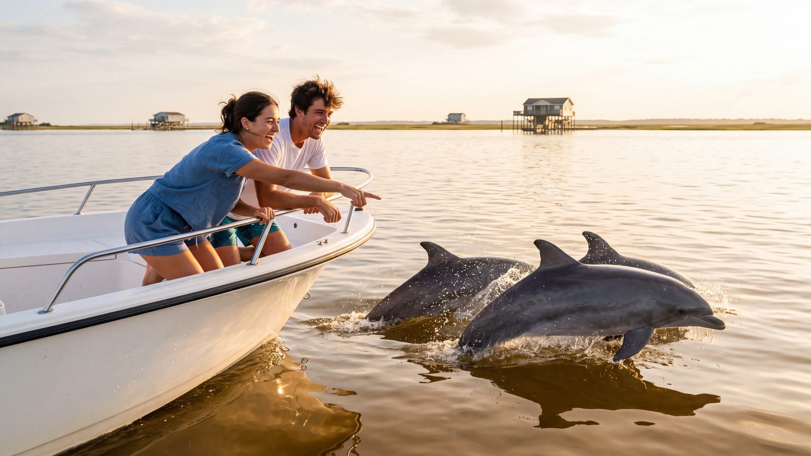
The idea: dolphins, close, from a boat, at sunset.
The real thing: bottlenose dolphins work Roanoke Sound and the inlet, and the evening tour boats out of Manteo and Nags Head go looking for them. Things to do in Manteo and Nags Head cover both waterfronts.
The twist: they were here first. The Lost Colony, the pirates, the show — the dolphins outlasted all of it, and they are not performing. They are fishing.
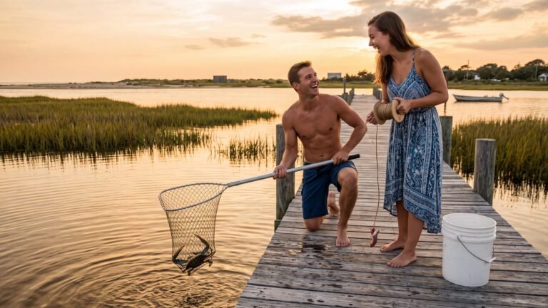
19. Catch dinner off a dock
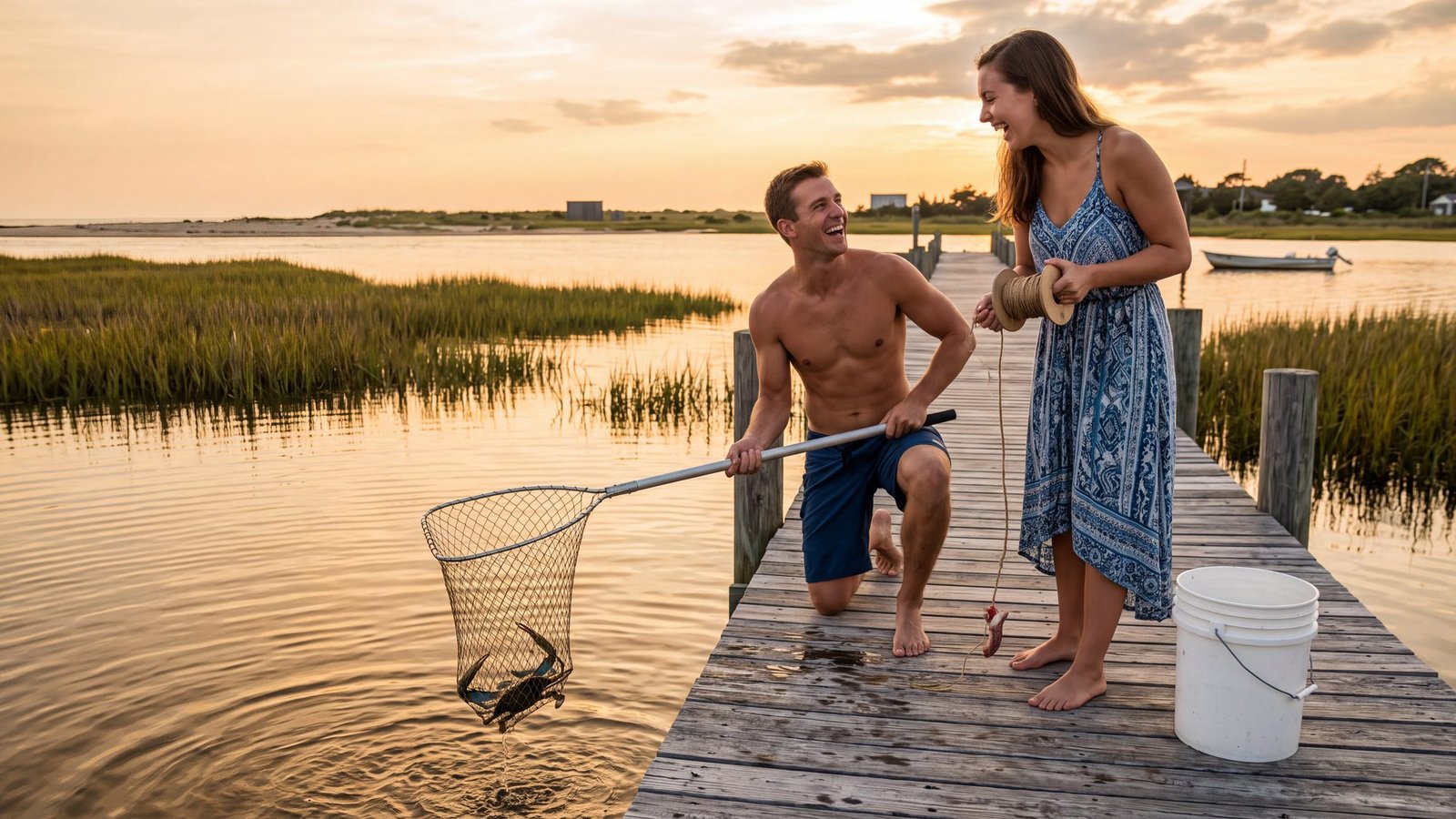
The idea: to catch what you eat, with your own hands, off a dock, by dinnertime.
The real thing: a chicken neck on a string, a dip net and a bucket — the blue crab is the Outer Banks’ oldest fast food, and any sound-side dock will do. Manteo’s waterfront and the docks behind the sound-side houses in Duck and Kitty Hawk are where you will see it done. Manteo · Duck · Kitty Hawk.
The twist: a blue crab does not let go of the chicken neck, and it does not let go of your finger either. Lift slow, net from behind, and hold him from the back.
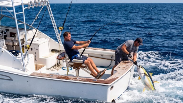
20. Fish the blue water off Oregon Inlet
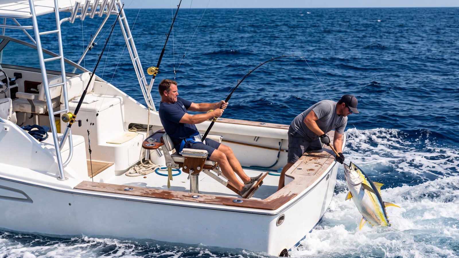
The idea: blue water, a bent rod, and something that pulls back harder than you do.
The real thing: the charter fleet at Oregon Inlet, where the boats leave in the dark for the Gulf Stream — tuna, mahi and billfish in season — while the inshore and nearshore boats work the sound and the beach for everything else. The charters guide covers the types, what they cost and whether you need one at all; the offshore tide windows and the Oregon Inlet boating page cover the bar.
The twist: this is the fleet Wicked Tuna: Outer Banks was filmed with — the one Outer Banks show that really was shot on the Outer Banks. And the inlet is the boss. Oregon Inlet’s bar is crossed on a rising or slack tide and read against the marine forecast, and the captain will call the day off before you are awake if it is wrong — which is the day you will be glad you hired one.
21. Fish the pier under the lights
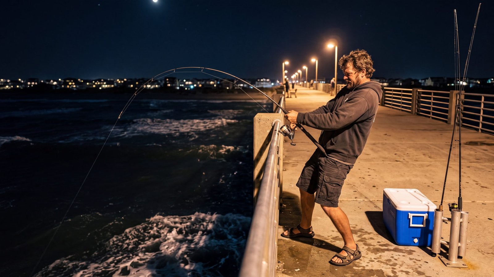
The idea: a rod bent over a rail at midnight, the ocean black underneath, the lights on.
The real thing: Jennette’s Pier in Nags Head — a thousand feet of concrete run by the North Carolina Aquariums — and the wooden piers up and down the beach, most of which fish into the night in season. Hours and fees are seasonal, so check the pier. The Jennette’s Pier guide has the rigs and what bites month by month; the piers map has every one of them north to south.
The twist: you do not need a fishing license on a pier. Every operating pier carries a blanket license, and your pier pass covers you the moment you pay it.
22. Walk to a shipwreck
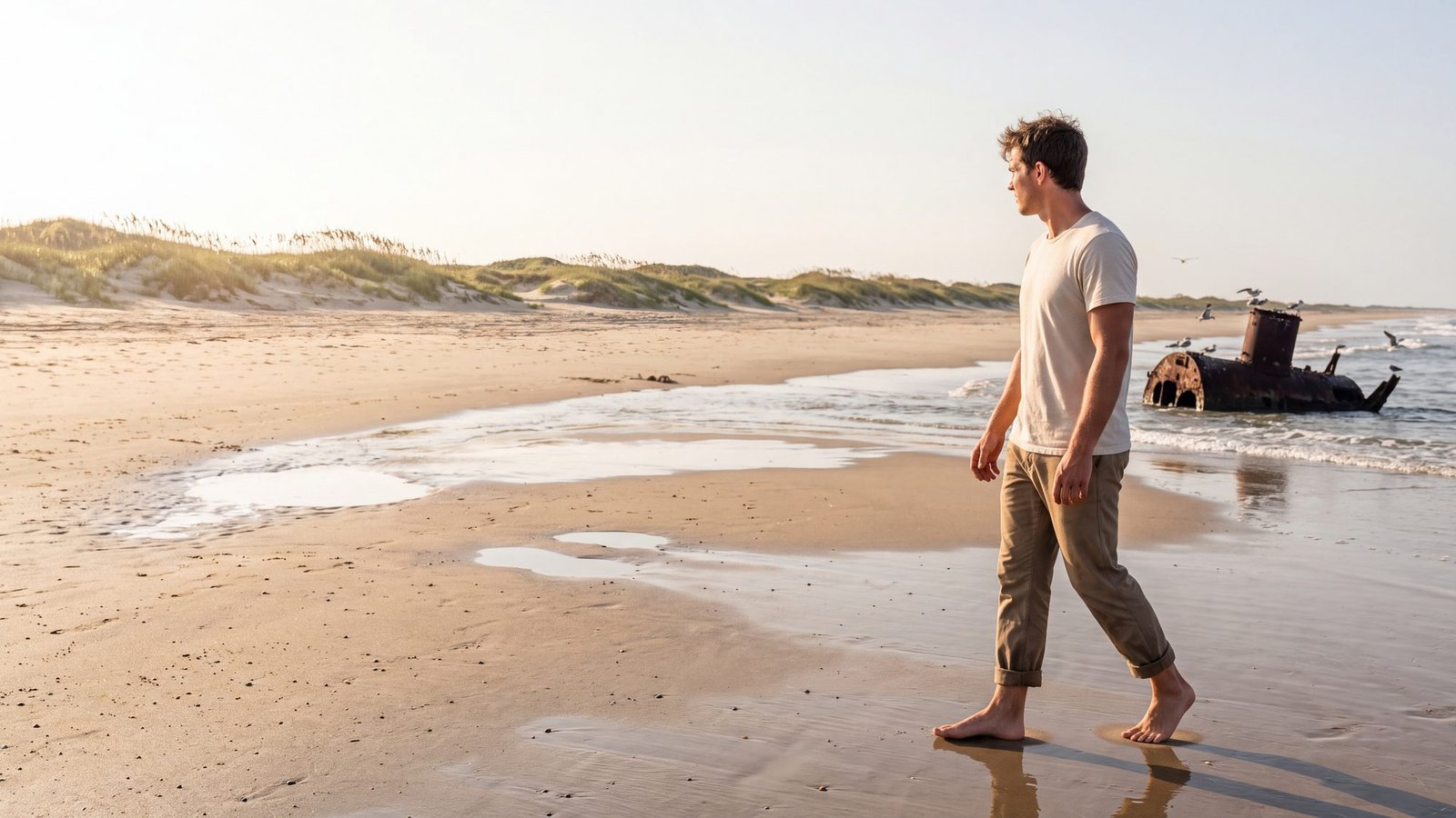
The idea: a real shipwreck, seen with your own eyes, not from a museum case.
The real thing: eight wrecks you can see from shore, and the easiest is the boiler of the Oriental, a Union transport grounded in 1862, a hundred yards or so off the beach across from the Pea Island trails and above the water most days. More than 2,000 ships have gone down on this coast — some counts say 3,000 — which is how it earned the name Graveyard of the Atlantic. The shipwrecks you can actually see maps all eight.
The twist: the sandbars that make the surf good are the same ones that made the wrecks. The one you can see is the one the sea has not finished with yet.
23. Stand where flight began
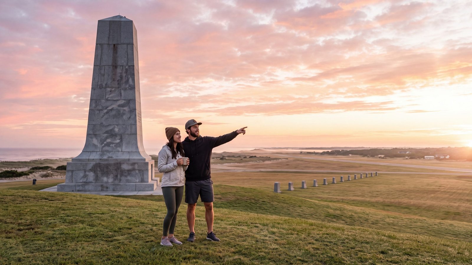
The idea: to stand on the hill the name came from, before the tour buses.
The real thing: the Wright Brothers National Memorial in Kill Devil Hills — the town whose first syllable opens the show’s name. The granite monument tops Big Kill Devil Hill, and four stone markers on the field below trace the first flights of December 17, 1903: 12 seconds and 120 feet on the first. An entrance fee applies. Things to do in Kill Devil Hills has the hours trick and the rest of town.
The twist: the hill used to move. It was a bare, drifting dune when the Wrights camped beside it; the grass that holds it in place now was planted so the monument would have something to stand on.
24. Drive NC-12 end to end
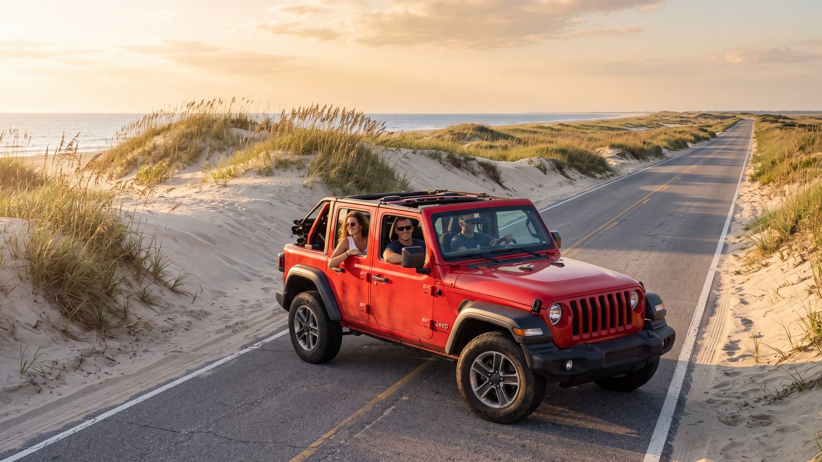
The idea: one road, windows down, the ocean on one side and the sound on the other.
The real thing: NC-12 is the only road, and the whole coast is given by its mileposts — locals give directions by them. From Corolla it runs south through every town, over the bridge at Oregon Inlet, down the Pea Island dunes and the length of Hatteras Island to the ferry. How the milepost system works and the Hatteras Island map put every turn on it.
The twist: the road is the thinnest thing on the island. On the Pea Island stretch the dune on your left is all that separates the pavement from the Atlantic, and after a big storm it is sometimes the ocean that wins for a while.
25. Walk a maritime forest
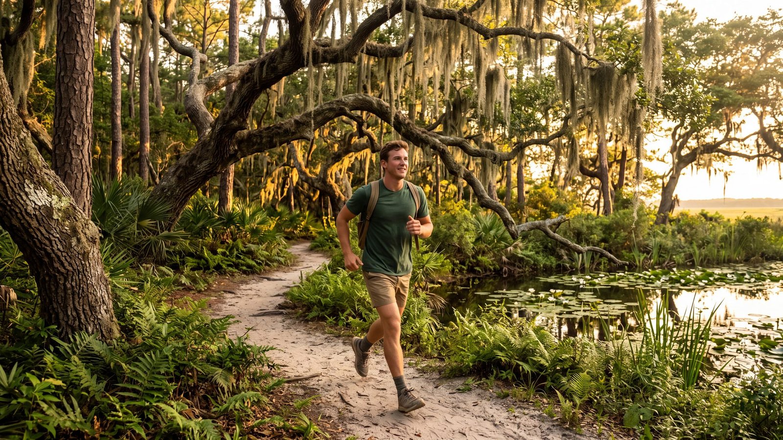
The idea: shade, a trail, and a forest that has no business being on a sandbar.
The real thing: three maritime forests — Nags Head Woods, Kitty Hawk Woods and Buxton Woods — plus refuge and reserve trails from Corolla to Ocracoke: flat, shaded, nearly all free. Nags Head Woods’ longer loops run about three miles and it has a half-mile accessible loop; the 4.5-mile Open Ponds Trail through Buxton Woods carries a piece of the state’s Mountains-to-Sea Trail. Every trail and boardwalk, mapped.
The twist: the forest is why the island is still here. The oaks and pines hold the old dunes in place; where they were cut, the sand walked away.
26. Bird Pea Island at sunrise
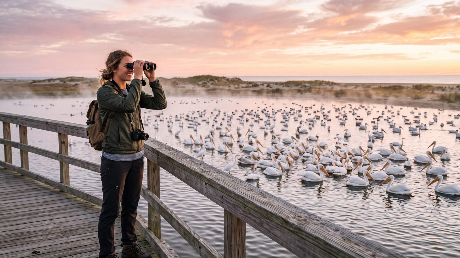
The idea: a boardwalk, binoculars, and a sky that fills up with birds.
The real thing: Pea Island National Wildlife Refuge, just south of Oregon Inlet, runs down the ocean side of NC-12 to Rodanthe — more than 365 bird species documented, walking trails, observation platforms and a visitor center, free and open year-round. The North Pond trail is a half-mile boardwalk over the impoundment ponds. The Pea Island guide covers what shows up when; the trails map has the walk.
The twist: the best days are the cold ones. The big flocks arrive in winter, when the beach is empty and the refuge is not.
27. Walk the boardwalk to the Bodie Island Light
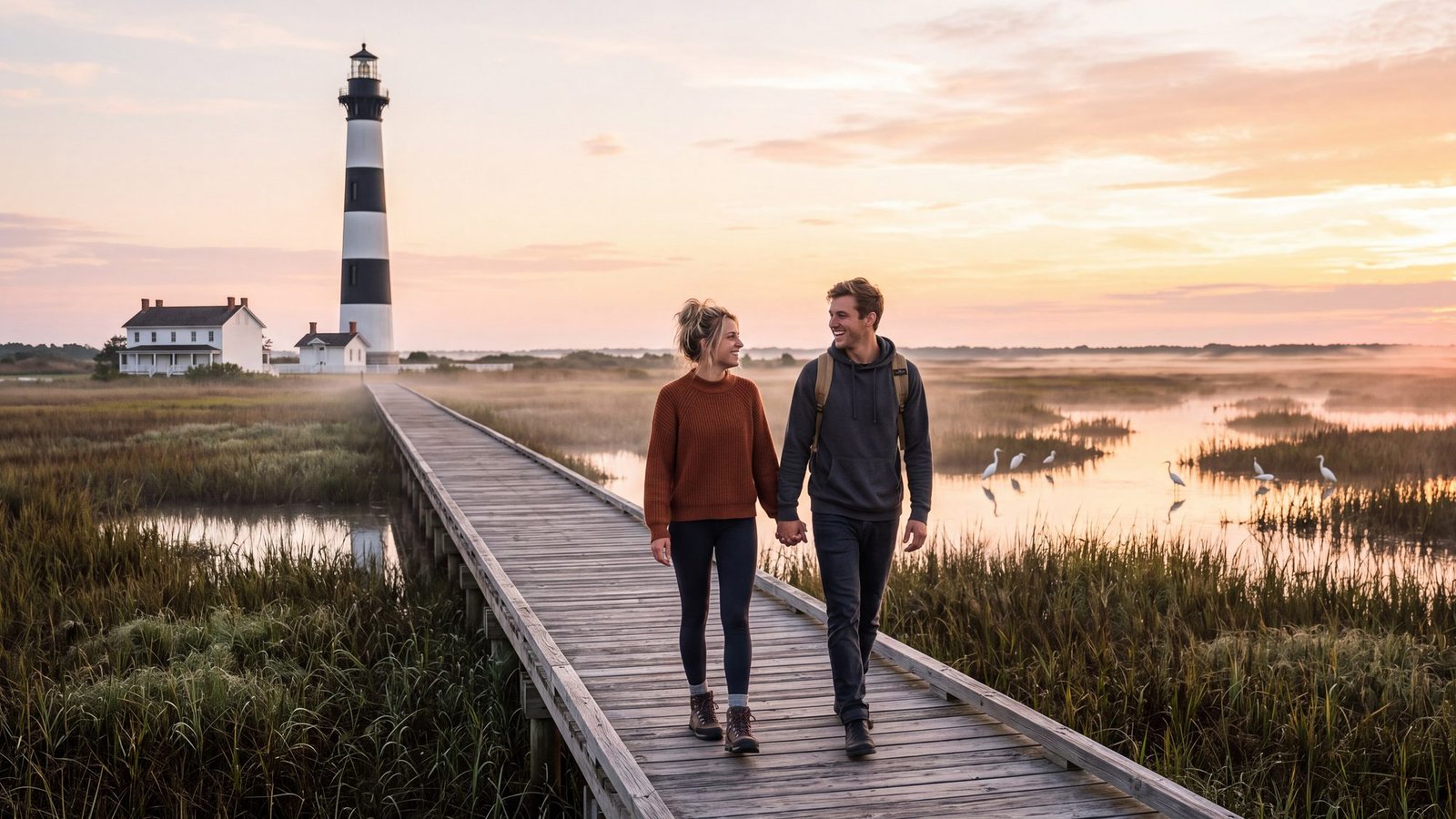
The idea: a lighthouse at sunrise with nobody else on the boardwalk.
The real thing: the Bodie Island Lighthouse just south of Nags Head, near Oregon Inlet — the one in horizontal black-and-white bands, with a keeper’s house, a visitor center and a marsh boardwalk that works on wheels. It is one of the two Outer Banks lights you can climb, seasonally and weather permitting. The lighthouse map keeps the climbing status current; Nags Head is the town next door.
The twist: it is pronounced “body,” and the island it was named for is not an island any more — the inlet that made it one closed up, and the name stayed.
28. Shell the tide line at dawn
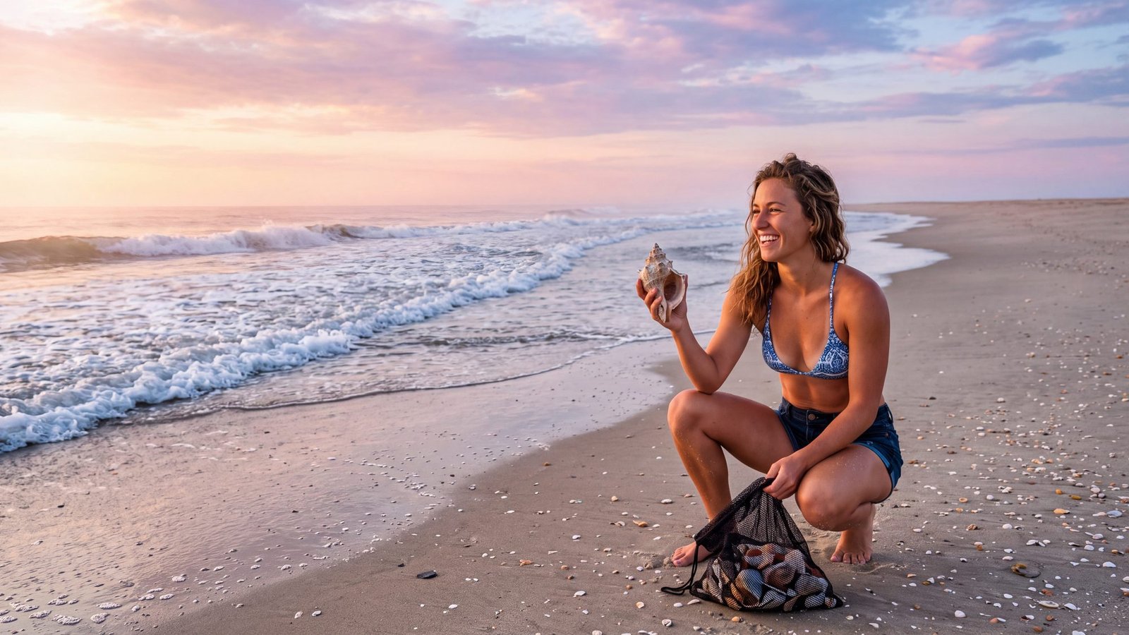
The idea: a bag of shells that did not come from a gift shop.
The real thing: South Beach at Cape Point in Buxton for sheer quality — two currents collide right there — and Ocracoke for the full experience, with the Scotch bonnets and whelks that make this coast a shelling destination. Go at low tide, and go after a blow. The shelling guide maps the beaches and the timing; the tide charts give you the low.
The twist: the shells are the same currents that built the Graveyard of the Atlantic, doing their gentler work. What piles up at the Point one morning is gone by the next tide.
29. See a black bear at Alligator River
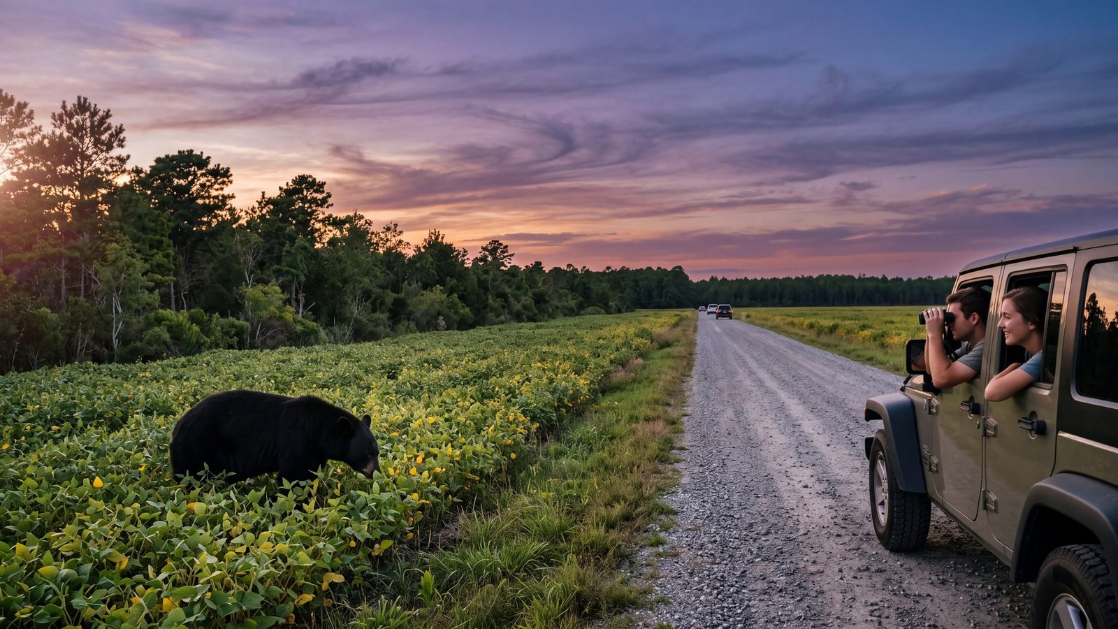
The idea: a bear, a real one, from a safe distance, on purpose.
The real thing: the mainland side of Dare County, twenty minutes past Manteo, holds one of the densest black bear populations on the East Coast, and the Alligator River refuge’s wildlife drive makes evening sightings close to routine in season — first light and the last two hours before dusk, along the field edges. It is also the only place on Earth with a wild red wolf population. How to actually see the bears has the drive, the timing and the rules.
The twist: the bears are on the show’s side of the bridge, too — Dare County does not stop at the sound. Stay in the vehicle, keep your distance, and let the bear decide how long the visit lasts.
30. Walk Duck’s boardwalk at sunset
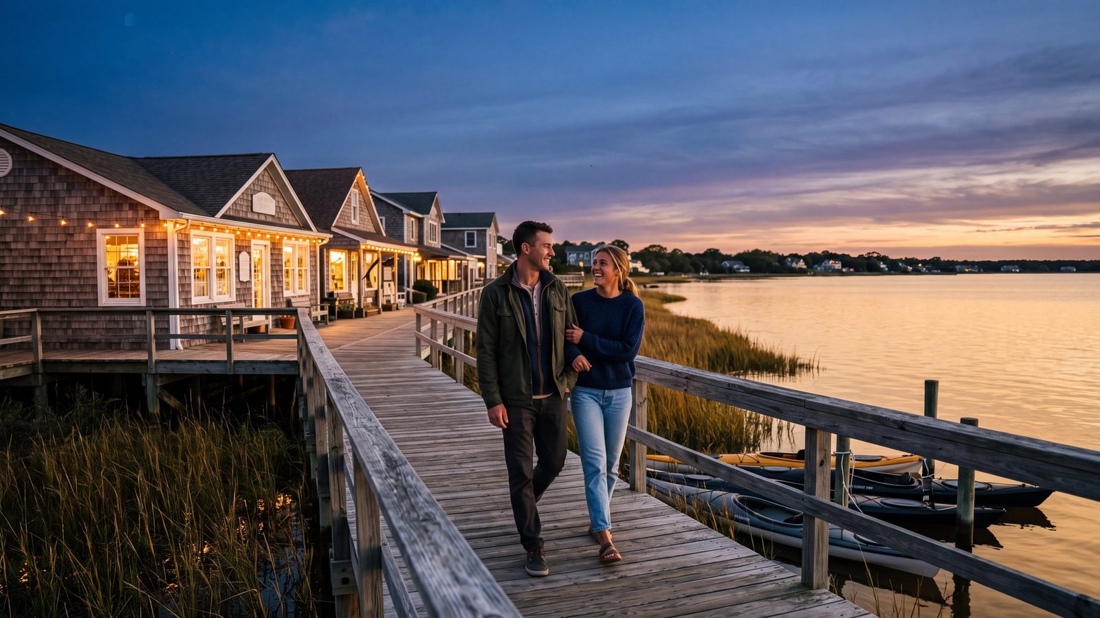
The idea: a boardwalk over the water, shops, and a sunset that faces the right way.
The real thing: Duck’s soundfront boardwalk winds past the shops and out along the Currituck Sound, connecting most of the village on foot. It is the northern beaches’ evening ritual: the sun goes down over the sound, not the ocean, so the west-facing side of the island gets the show. Things to do in Duck has the boardwalk, the shops and the quiet north end.
The twist: on this coast the sunset is a soundside event. The beach gets the sunrise; the boardwalk gets the other one.
31. Catch the sunset from the Kill Devil Hills gazebo
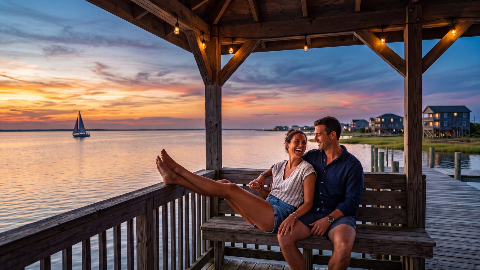
The idea: the locals’ spot, not the postcard one.
The real thing: the Hayman Boulevard gazebo on Bay Drive in Kill Devil Hills is the town’s sunset bench over Kitty Hawk Bay — no ticket, no crowd, the whole sound turning orange. Things to do in Kill Devil Hills has it, along with the trick for seeing the Wright monument after the gates close.
The twist: the town that gave the show its first syllable keeps its best view on the back side, facing away from the ocean.
32. Walk the Manteo waterfront at dusk
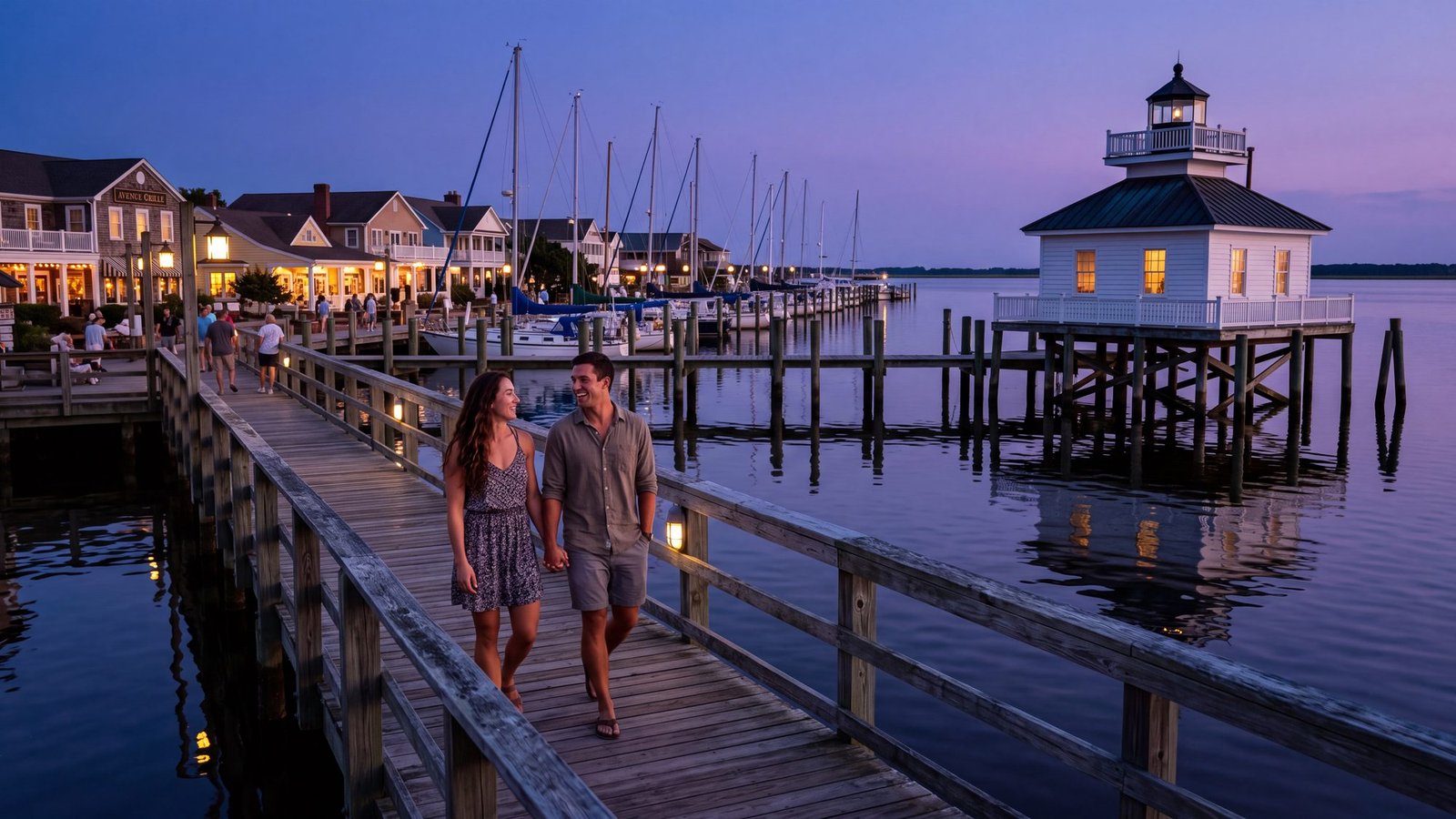
The idea: a harbor town, a boardwalk, and a lighthouse you can walk right up to.
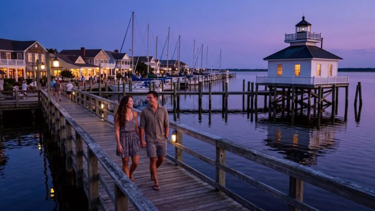
The real thing: downtown Manteo on Roanoke Island — the seat of Dare County — is a few waterfront blocks of shops, docks and inns, with the little Roanoke Marshes Lighthouse at the end of the boardwalk at 104 Fernando Street: a square white screwpile cottage on wooden piles just offshore, lantern room on the roof. Fort Raleigh and the Elizabethan Gardens are a short drive up the road. Things to do in Manteo has the waterfront and the island.
The twist: this is the Dare in Kildare. Virginia Dare was born a few miles up the road in 1587, and the county named for her runs its business from this little harbor.
33. See The Lost Colony under the stars
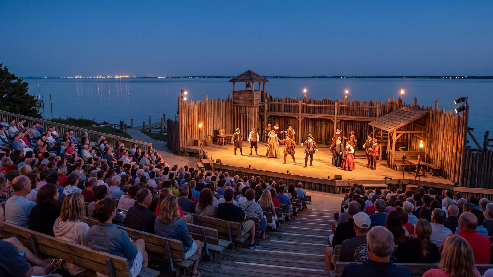
The idea: a play outdoors, on the shore where the story actually happened.
The real thing: The Lost Colony plays summers at the Waterside Theatre next to Fort Raleigh, as it has nearly every year since 1937 — an outdoor symphonic drama about the 1587 colony that vanished, staged on the shore where it stood. It is open-air, so check the theater for the current season and weather policy, and bring bug spray. Things to do in Manteo covers the theater, Fort Raleigh and the gardens.
The twist: the vanished colony is the reason there is a Dare County at all. Virginia Dare, born in it, gave the county its name — and the county gave the show half of its.
34. Drink your coffee facing the sunrise
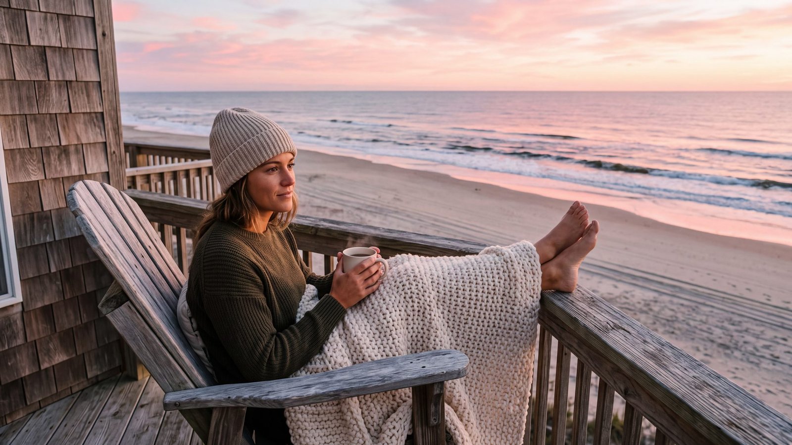
The idea: a mug, a blanket, a deck, and the sun coming out of the ocean.
The real thing: the whole east side of this coast faces the sunrise, and in the off-season you can have it to yourself: the oceanfront houses run for miles and rent by the week for a fraction of the summer rate once the crowds leave. The sunrise and sunset tracker tells you when to set the alarm, town by town; where to stay sorts the deck from the drive.
The twist: the light is better in the cold. Clear air, low sun, no haze — the October and November sunrises are the ones the photographers come for.
35. Read a book on an empty October beach
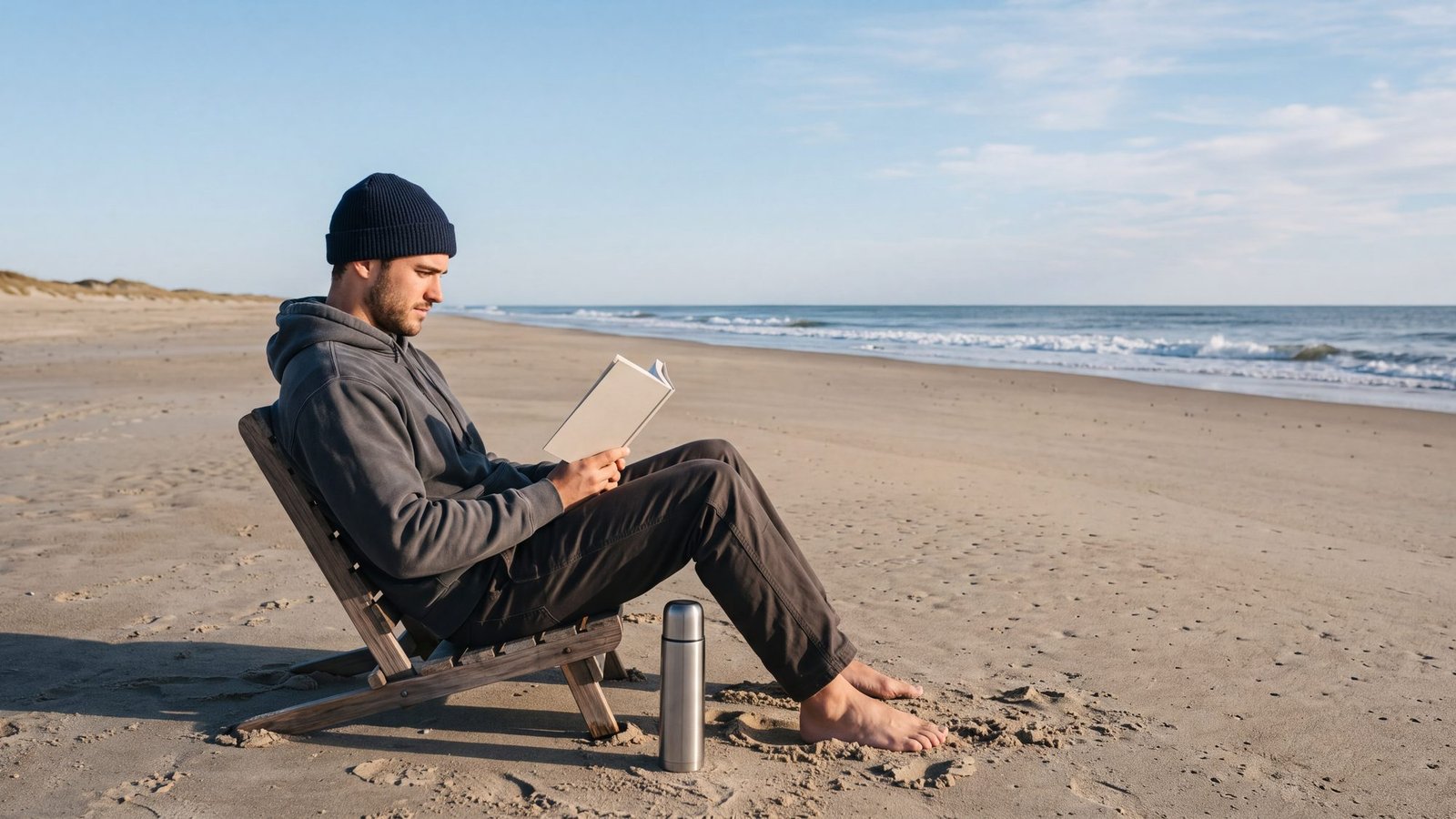
The idea: the beach with the people subtracted.
The real thing: the shoulder season. From October on, the beach empties out while the water stays warm longer than the air does, and by December through February lodging bottoms out and no parking permits are needed anywhere on the northern beaches — the trade is that most piers and a handful of seasonal attractions close for winter. The best time to visit lays the whole calendar out; the water temperature page says whether you will get your feet wet.
The twist: the water is warmer than the air. The ocean holds summer’s heat into the fall long after the mornings turn crisp, which is why the surfers are still out there in November.
36. Watch a nor’easter from the porch
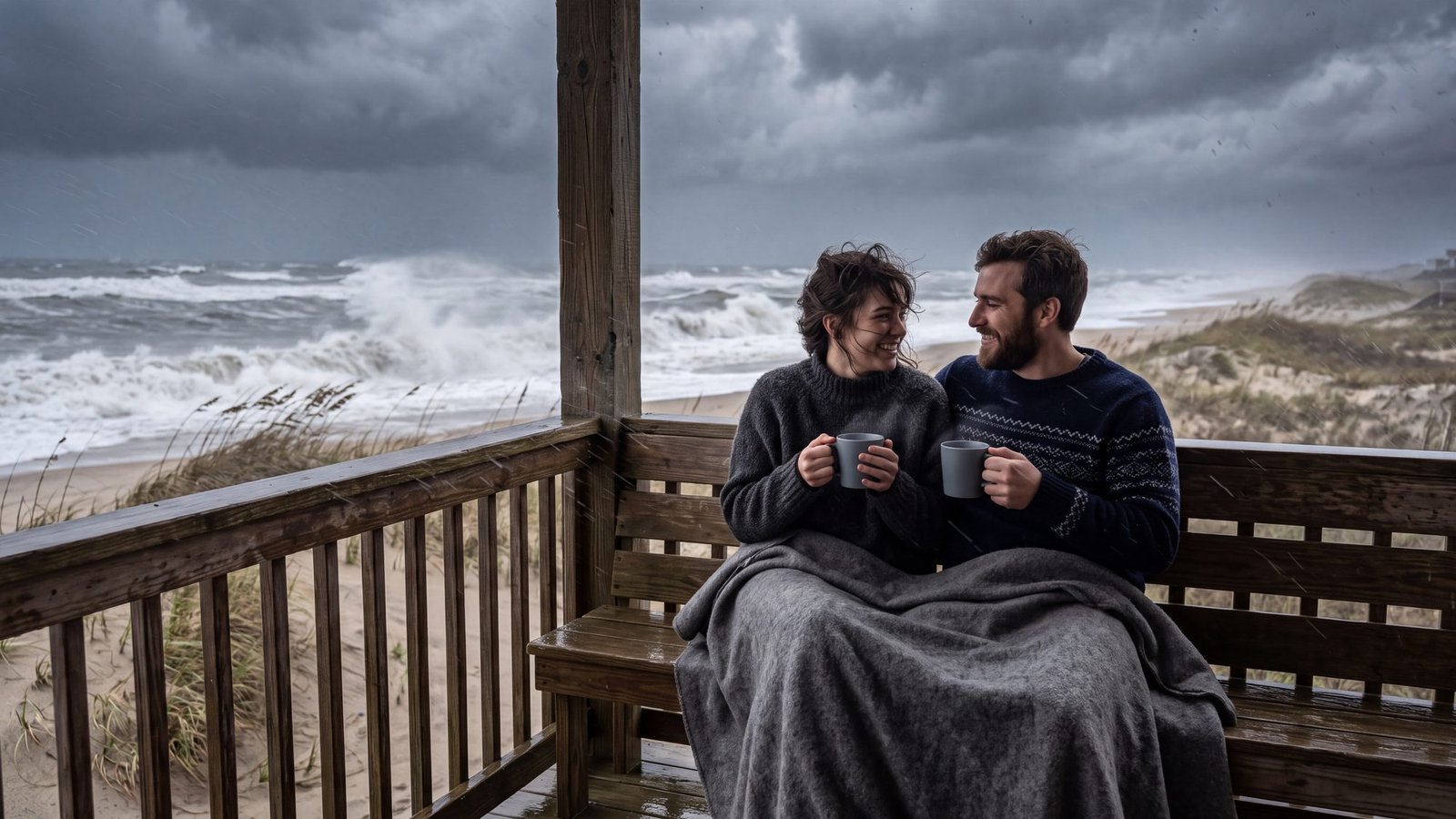
The idea: a big storm, a dry porch, a full mug, and nowhere to be.
The real thing: the off-season classic. Nor’easters roll up this coast from fall through spring, and a covered oceanfront porch is the best seat there is — the surf goes gray and enormous, the wind flattens the sea oats, and the house creaks like a boat. Storms and nor’easters explains what the water does; the weather page tells you when one is coming.
The twist: the storm rearranges the beach. Walk it the morning after and the shells, the wreck timbers and sometimes the shoreline itself have moved.
37. Soak in a hot tub under the stars
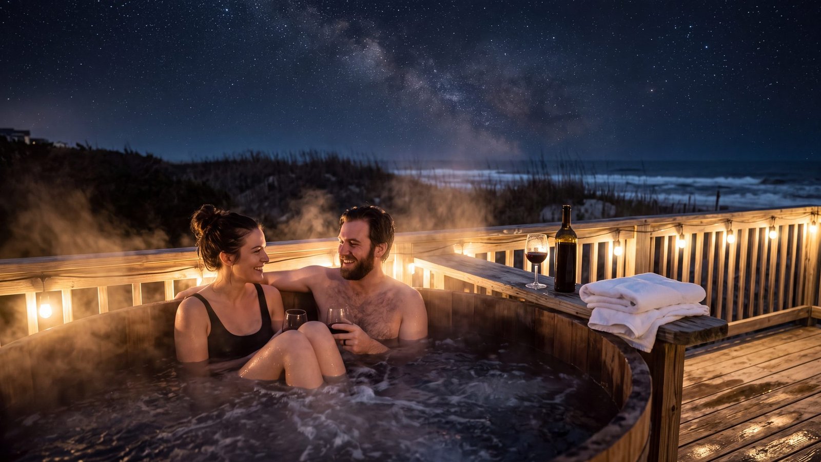
The idea: steam, stars, and the sound of the ocean in the dark.
The real thing: a great many of the rental houses on this coast come with a hot tub on the deck, and in cold weather that is the whole evening: the air bites, the water does not, and the sky over the dune is as dark as it gets on the East Coast. Where to stay, town by town is the place to start narrowing it down.
The twist: the darker the better. Away from the village lights the same sky that makes the Milky Way section above possible is the one over your hot tub.
38. Bike the sound side in flannel
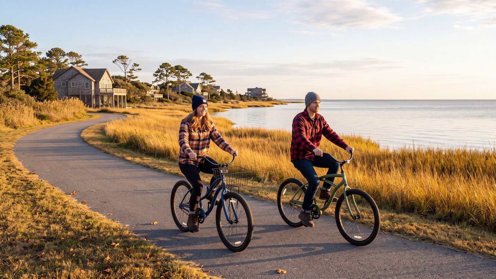
The idea: a bike, a flannel, and a flat path with the sound on one side.
The real thing: the paved paths are one of the coast’s quiet assets — most towns from Corolla to Nags Head have one, and Duck’s runs the length of the village beside the sound. Autumn is the season for it: the summer traffic is gone and the marsh grass turns gold. Every trail and bike path, mapped town by town; Things to do in Duck for the boardwalk at the end of the ride.
The twist: the island is flat. There is no hill anywhere on it worth the name except the sand dunes, and nobody bikes up those.
39. Roast oysters on the deck
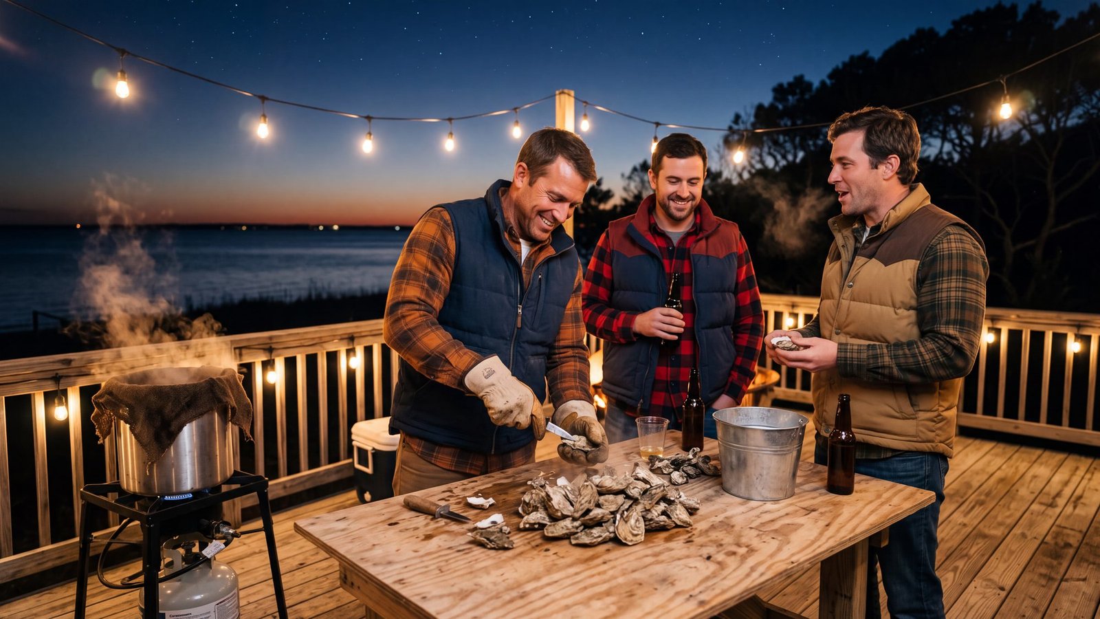
The idea: a steel pot, a burlap sack, a knife with a short blade, and everyone standing up.
The real thing: the cold months are oyster months on this coast, and the oyster roast — steamed by the bushel over a propane cooker, dumped on a table and shucked standing up — is the local answer to a cold night. The sound-side towns and Roanoke Island are where the tradition lives. Where to eat maps the places that will do the steaming for you.
The twist: the oysters come from the same water you spent the summer on. The sounds behind these islands are the beds; the ferry, the kayak launch and the crab dock are all sitting on top of dinner.
40. Light the fire table, not the beach
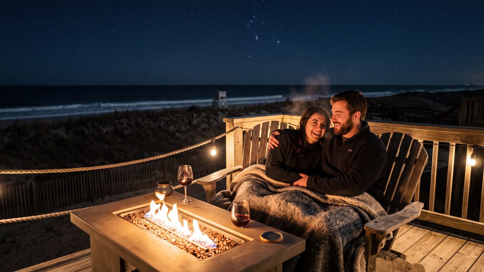
The idea: a fire, a blanket, a glass of wine, and no paperwork.
The real thing: the beach-fire rules from earlier on this page do not apply to a fire table on the deck of the house — which is why so many rentals have one. Cold night, dune in front of you, the surf you can hear and not see. Where to stay covers the towns; the house listing covers the deck.
The twist: the beach fire is the adventure and the fire table is the reward. Do the first one once, properly; do the second one every night.
41. Walk the winter beach with the dog
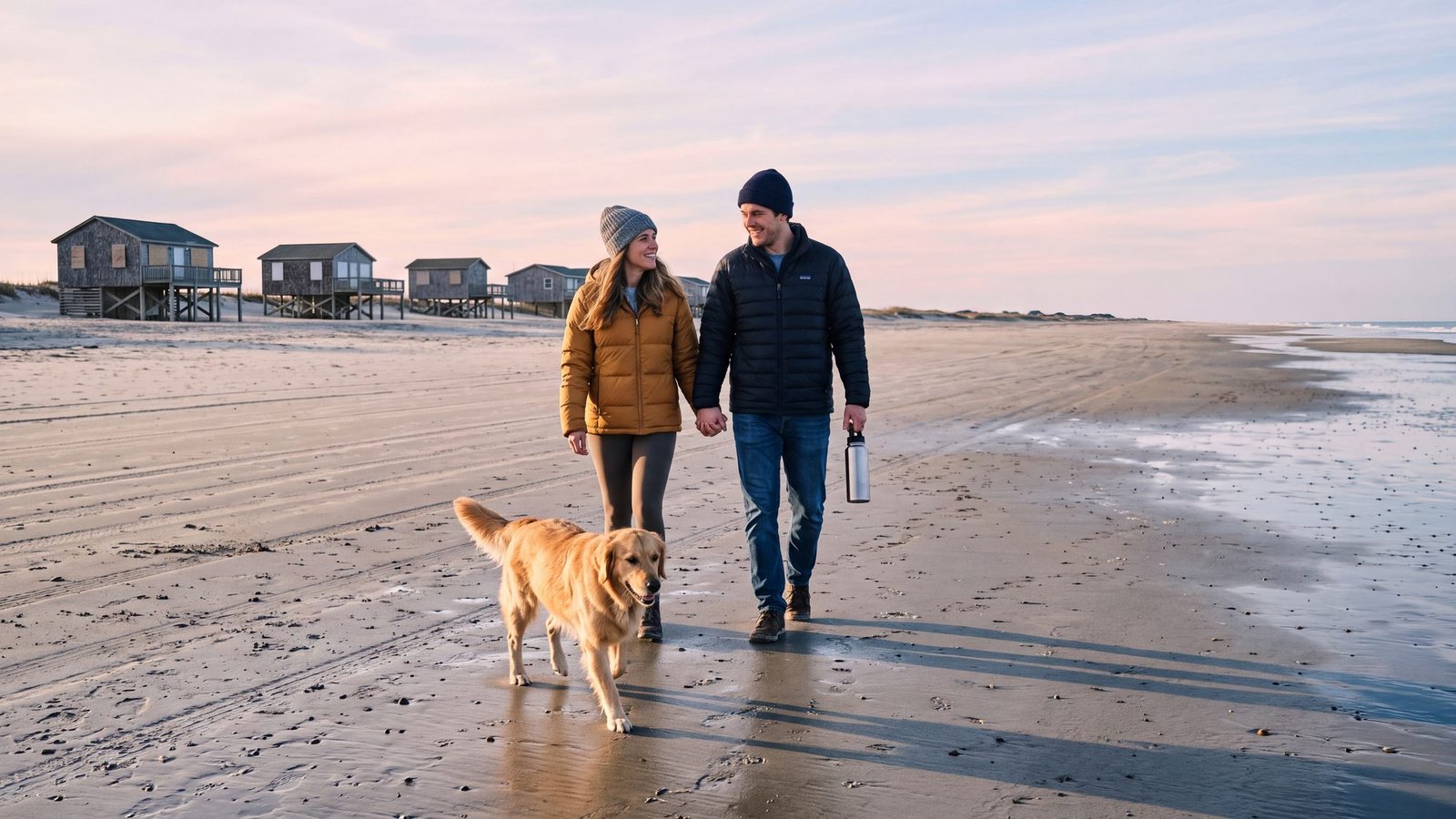
The idea: the beach in January, which belongs to the dogs and the people who own them.
The real thing: winter is when the dog rules relax and the beach empties: the summer daytime bans in Kill Devil Hills and Southern Shores lift, no parking permits are needed on the northern beaches from December through February, and the houses behind the dune are mostly shuttered. Dog-friendly beaches, town by town has each town’s winter rule; off-season beach driving covers the 4x4 side of it.
The twist: the beach is bigger in winter. The storms pull the sand flat and wide, the tide line runs out for a hundred yards at the bottom of the tide, and the dog can see you from a very long way off.
42. Ride out the rain at the Graveyard of the Atlantic Museum
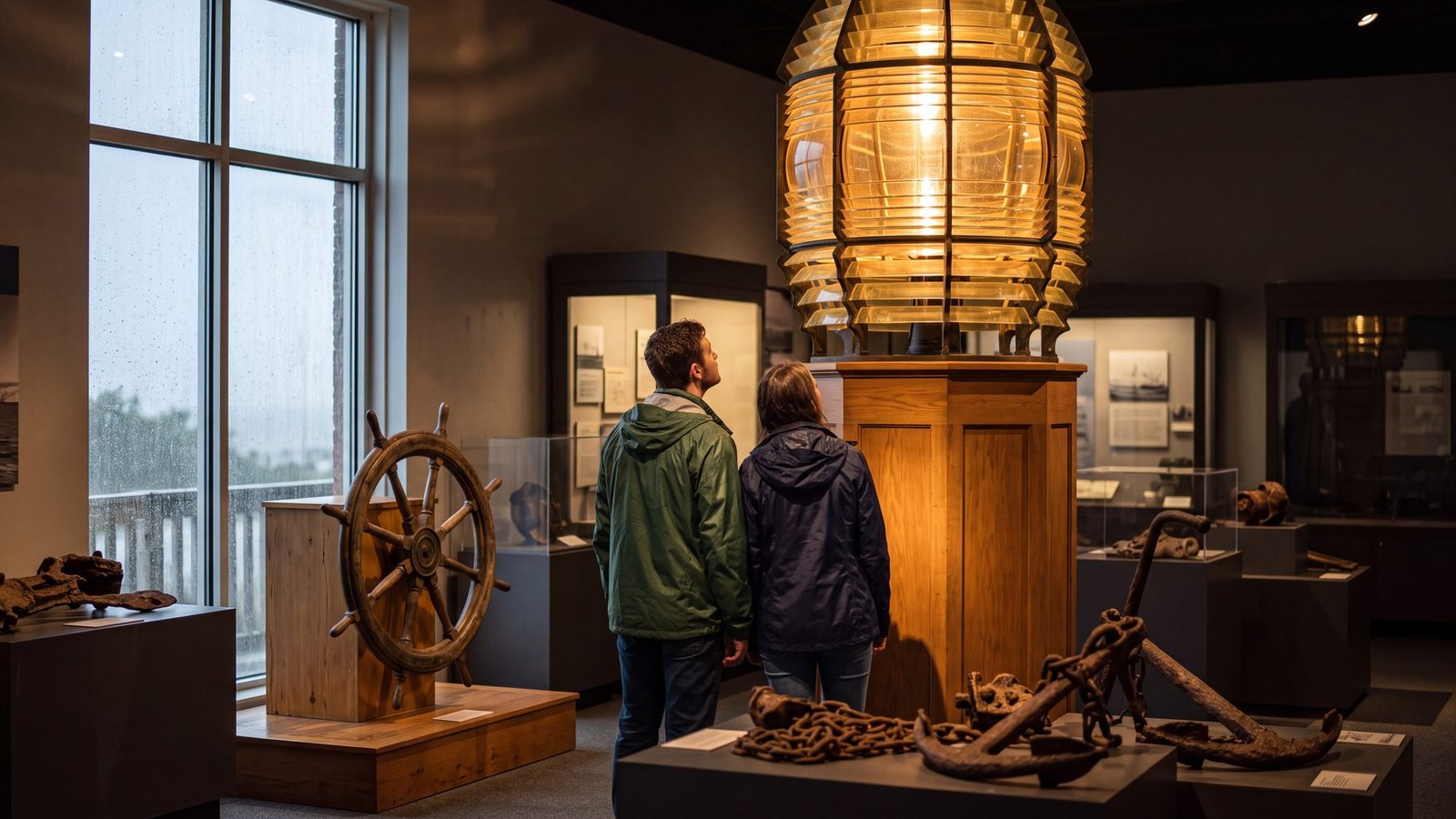
The idea: a museum for a coast that has been eating ships for four hundred years — visited on a day the sea is proving the point outside.
The real thing: the Graveyard of the Atlantic Museum sits at the end of the road in Hatteras Village, beside the ferry docks: free, freshly renovated, open Tuesday through Saturday, 10 to 5. Shipwrecks, the U-boat battles fought within sight of the beach in the Second World War, the life-saving crews who rowed into hurricanes, and the first-order Fresnel lens that once lit Cape Hatteras. The shipwrecks guide maps the wrecks you can still see on the sand, things to do on Hatteras Island fits the museum into a full day, and the rainy-day guide has the whole indoor list.
The twist: the museum is at the end of the road, so on a wet day the drive down the island is half the show: sound on one side, surf on the other, and the Ocracoke ferry loading in the rain when you get there.
43. See the aquarium’s shipwreck tank
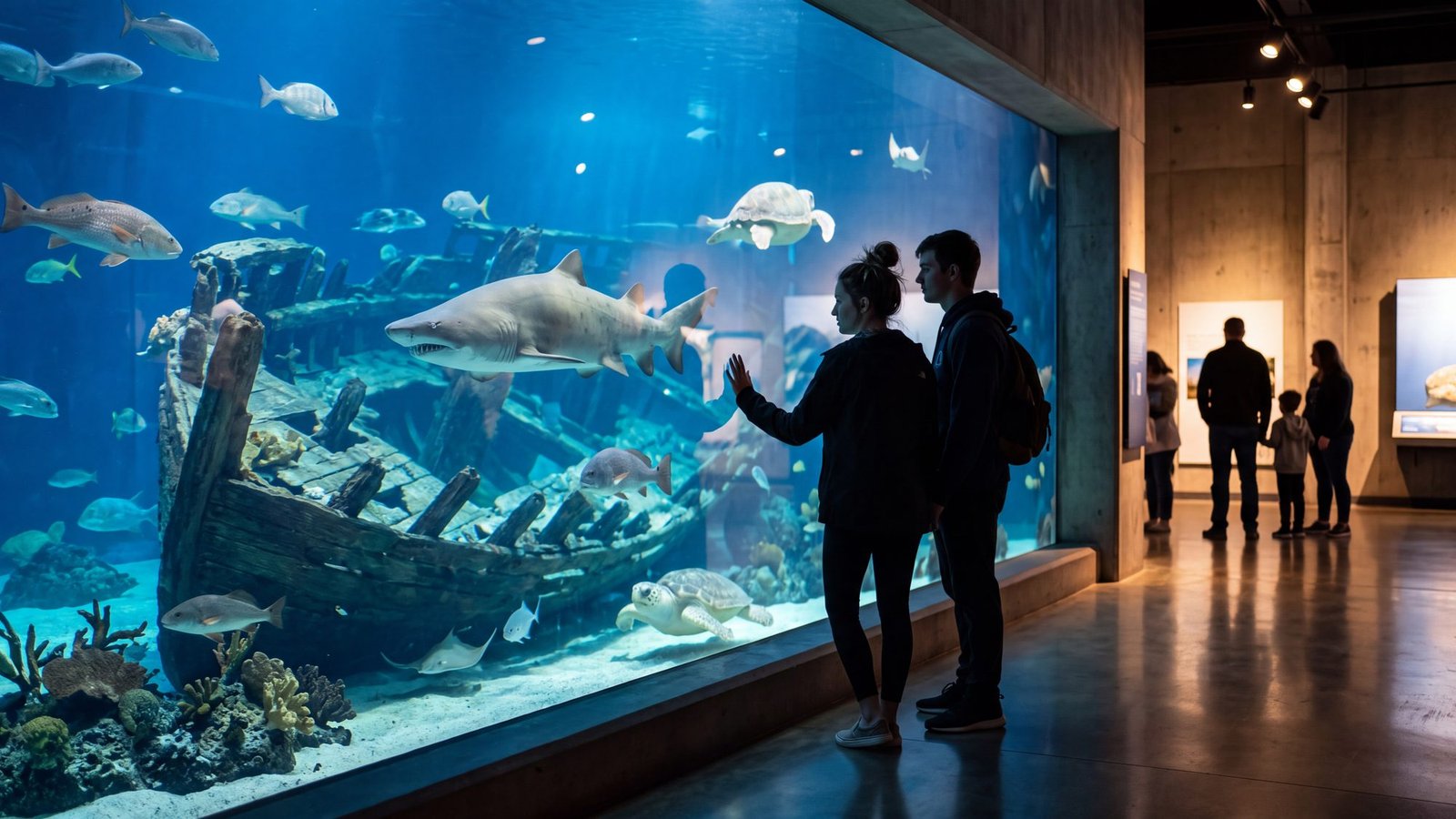
The idea: sharks, a shipwreck and a wall of glass, all of it indoors.
The real thing: the North Carolina Aquarium on Roanoke Island, at 374 Airport Rd in Manteo, is the rainy-day heavyweight. Its 285,000-gallon Graveyard of the Atlantic habitat has sand tiger, sandbar and nurse sharks circling a one-third-scale replica of the USS Monitor, the Civil War ironclad that sank off Hatteras in 1862, seen through 35 feet of glass — plus the STAR sea turtle rescue center. Entry is timed and slots sell out when the weather turns, so reserve online before the rain starts. Things to do in Manteo has the rest of the island.
The twist: the sand tigers are locals. The same species hangs around the real wrecks off this coast, which is why divers come to North Carolina to see them — the tank just saves you the boat ride.
44. Stand under the 1903 Flyer

The idea: the machine that started everything, hanging over your head.
The real thing: the visitor center at the Wright Brothers National Memorial in Kill Devil Hills holds a full-size reproduction of the 1903 Flyer and a 16-screen video wall that tells the whole story, all of it under a roof. Entry is $10 a person for ages 16 and up, free under 16, and park passes are accepted. The monument on Big Kill Devil Hill is №23 on this list — on a wet day do the museum first and walk the hill when the rain breaks. Things to do in Kill Devil Hills has the rest of the town.
The twist: you are standing in Kill Devil Hills — the Kil- half of the name on this page — in the one building in town where the weather doesn’t matter.
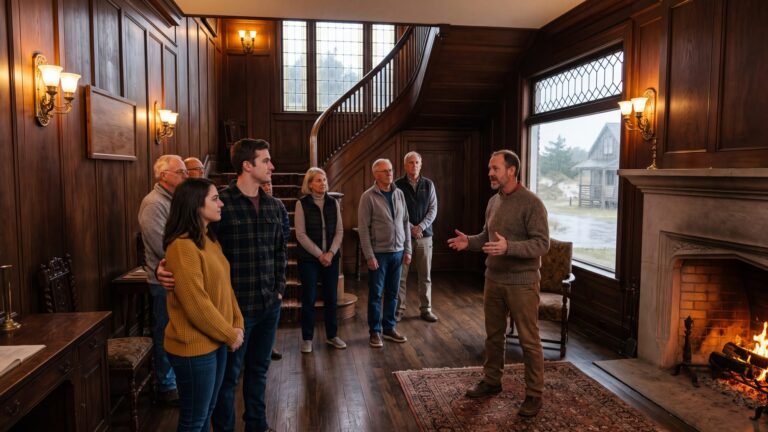
45. Tour Whalehead
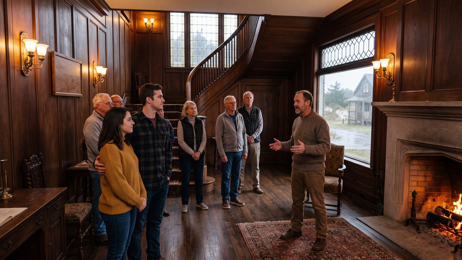
The idea: a 1920s hunting mansion on the sound, with a guide, a staircase and a fire.
The real thing: the Whalehead Club, at 1100 Club Rd in Historic Corolla Park, is a restored 1920s hunting retreat, and its guided interior tours are the classiest way to wait out a storm. Tour days vary, and no interior photos are allowed, so the picture above is the idea rather than the tour. A few steps away the Currituck Maritime Museum on Village Lane is free and covers the duck-hunting and boat-building heritage that built the place. Things to do in Corolla has both, plus the lighthouse next door.
The twist: Whalehead is in Currituck County, not Dare. The show’s Kildare County swallows the whole coast; the real map splits it in three, and this northern piece — the mansion, the lighthouse, the wild horses — belongs to Currituck.
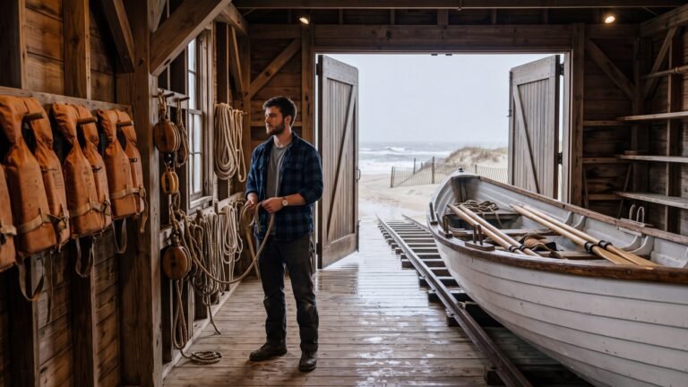
46. Walk the 1874 life-saving station
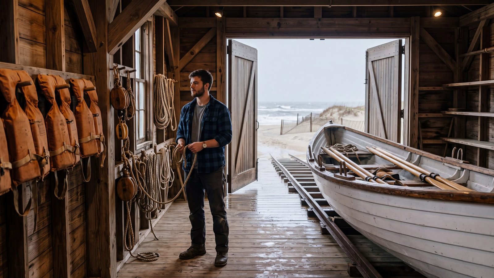
The idea: the boathouse the surfmen rowed out of, seen on the kind of day they rowed out.
The real thing: Chicamacomico Life-Saving Station, at 23645 NC-12 in Rodanthe, is a preserved 1874 station of the service that became the Coast Guard — a self-guided museum across several original buildings, mostly indoors and entirely atmospheric in weather; small fee, open days vary. Its most famous hour came in 1918, when the crew pulled 42 British sailors from the burning tanker Mirlo through seas on fire with spilled fuel. Catch a beach-apparatus drill if the schedule lines up. Things to do on Hatteras Island and the shipwrecks guide tell the rest of the story.
The twist: the surfmen’s unofficial motto was that you have to go out; you don’t have to come back. Stand in the boathouse door on a nor’easter day and look at the surf they meant.
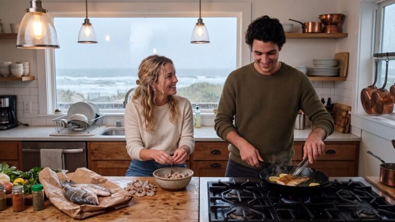
47. Cook the catch
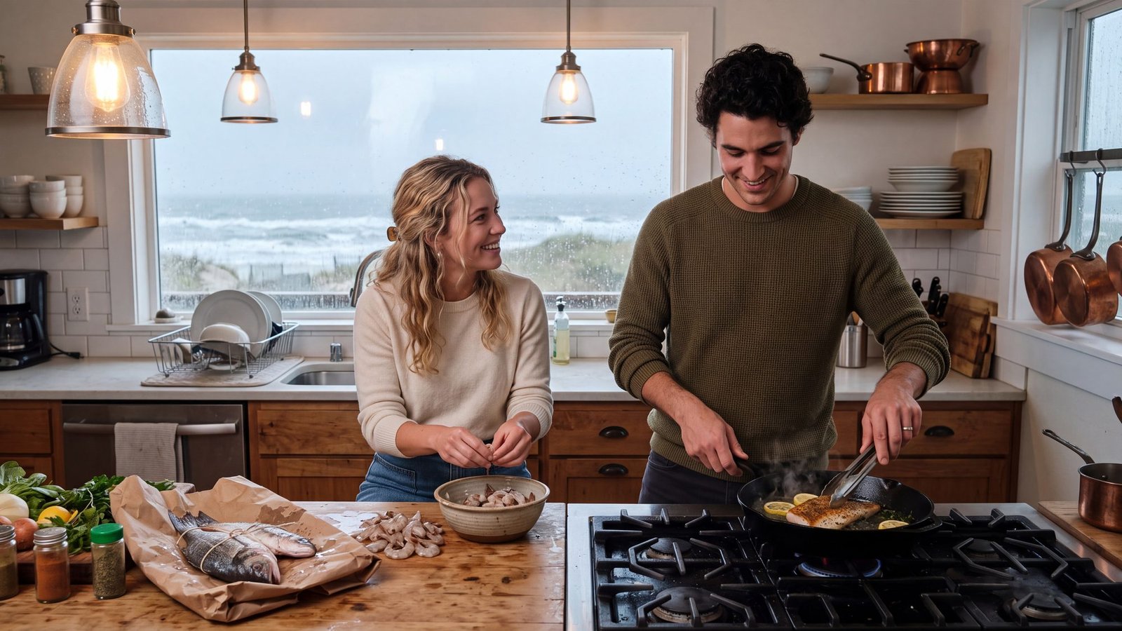
The idea: the rainy afternoon that turns into the best dinner of the week.
The real thing: a rain day is the day to cook, and the catch changes by the week. The fishing report says what is running right now, and if you would rather somebody else cooked it, the restaurants map has the seafood shacks and fish-house institutions pinned, Corolla to Ocracoke.
The twist: the rain is the reason you finally have time to peel the shrimp properly.
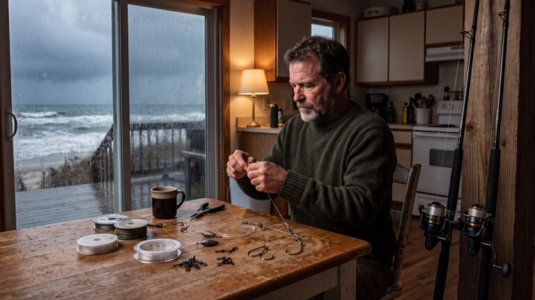
48. Rig up for the fall run at the kitchen table
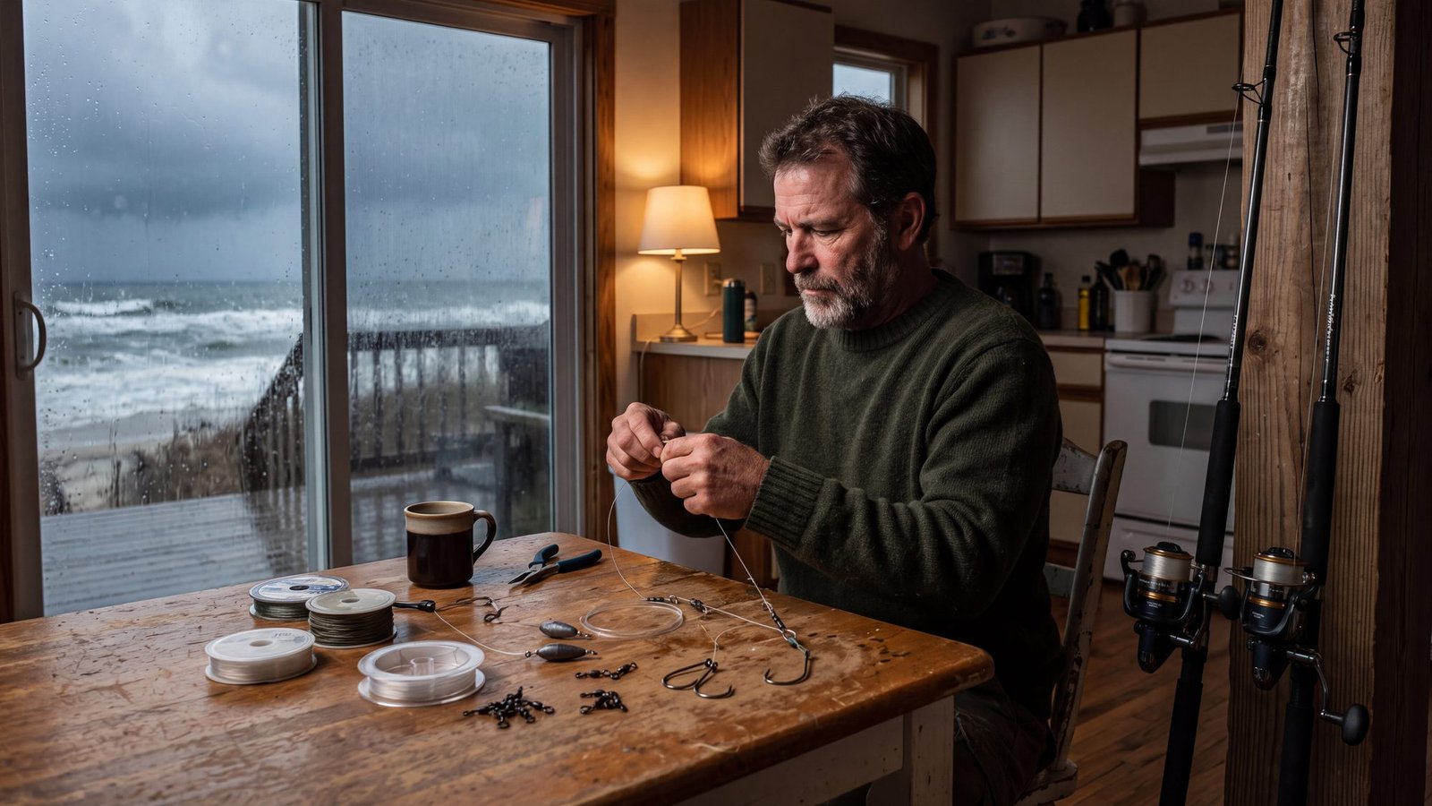
The idea: a wet afternoon spent building the rigs the drum run is going to eat.
The real thing: three rigs cover almost everything on this beach. The two-hook bottom rig fishes two baits at once in the trough for spot, croaker and sea mullet; the fish finder rig is the workhorse for red drum, a sliding sinker so the fish can run with the bait; and the Carolina rig is the first one to learn, bait moving naturally on the bottom with the weight pinned in the sand. Tie a handful of each now and the October surf fishing guide tells you where to throw them when the sky clears.
The twist: rain alone is not a reason to stay off the beach in the fall — the fish don’t mind it — but a nor’easter is. №36 on this list is the porch for that.
49. Puzzle, board game, coffee, rain
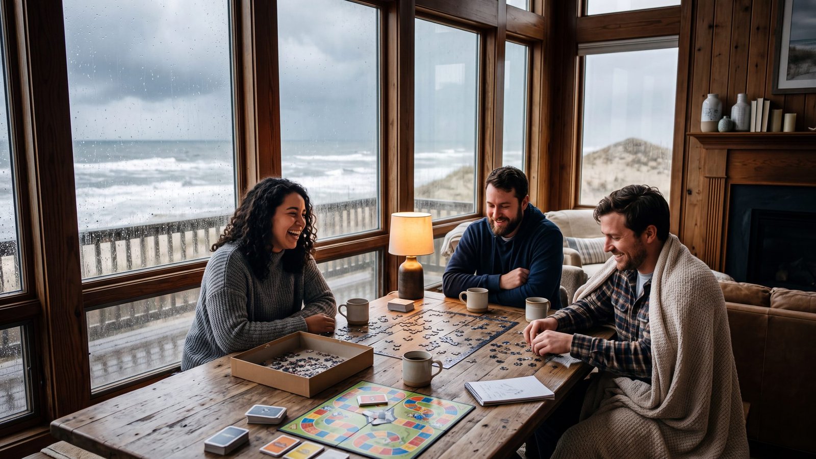
The idea: doing nothing, well, while the ocean does everything outside.
The real thing: every Outer Banks week catches one rainy day — the one where the radar goes green and the chairs stay stacked. If the rain looks all-day, the rainy-day guide has what is actually open indoors and the one reservation that matters. If it is wind rather than rain, it may not be an indoor day at all: wind is what Canadian Hole exists for (№7), and a blustery beach walk beats a crowded arcade. The weather by town has the live conditions and the best-time guide has the months when rain is most likely.
The twist: the puzzle stays on the table all week. Nobody finishes it. Somebody finishes it at eleven o’clock on the last night.
50. A long diner breakfast
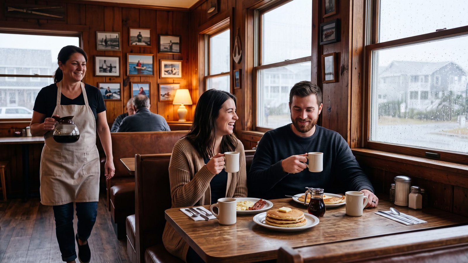
The idea: a booth, a bottomless cup and no reason to leave.
The real thing: breakfast on the Outer Banks is a genre with institutions. Stack’em High in Kill Devil Hills is the pancake line worth standing in, walk-ins only; Sam & Omie’s has fed fishermen across from Jennette’s Pier since 1937; Art’s Place in Kitty Hawk does early breakfast with ocean views and zero pretense; and the Jolly Roger in Kill Devil Hills runs breakfast straight through. Every one is pinned on the restaurants map. For the over-21 crowd, a dive bar is a legitimate rainy-day plan too.
The twist: order the she-crab soup at Sam & Omie’s at eight in the morning. Nobody will look at you twice.
51. Wait it out in Manteo
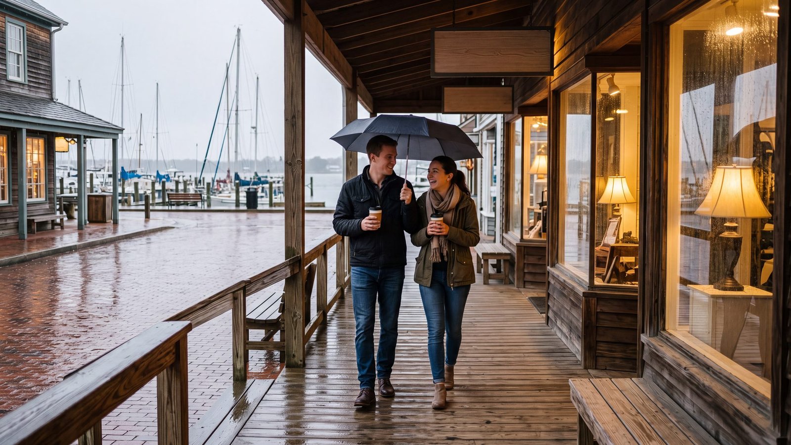
The idea: a whole rainy day in one small town.
The real thing: if the rain looks all-day, point the car at Manteo. It packs the aquarium, the free visitor center at Fort Raleigh and a walkable, covered downtown — shop blocks, docks and a little lighthouse on the waterfront — into one five-minute radius, with Roanoke Island Festival Park across the little bridge from the waterfront. Things to do in Manteo has all of it on one map; the rainy-day guide has the rest of the coast.
The twist: Manteo is the county seat of Dare — so the Dare half of Kildare is run from the same small town where you are drinking the coffee.
52. Light a fire on the beach
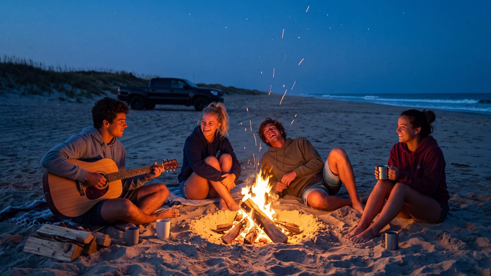
The idea: a driftwood fire in the sand at dusk, with the ocean for a soundtrack.
The real thing: a real one, with paperwork. On the national seashore a beach fire takes a free Park Service permit and goes below the high-tide line, no bigger than three feet across, untreated wood only. Corolla and Carova ask no permit but want it 50 feet off the dunes, and the towns in between each keep their own rule. The beach fires guide has every jurisdiction on one page.
The twist: the fire goes below the tide line for a reason. The sea erases the ring by morning — but only after you have drowned it yourself. Leave nothing but the dark spot.
53. See the Milky Way
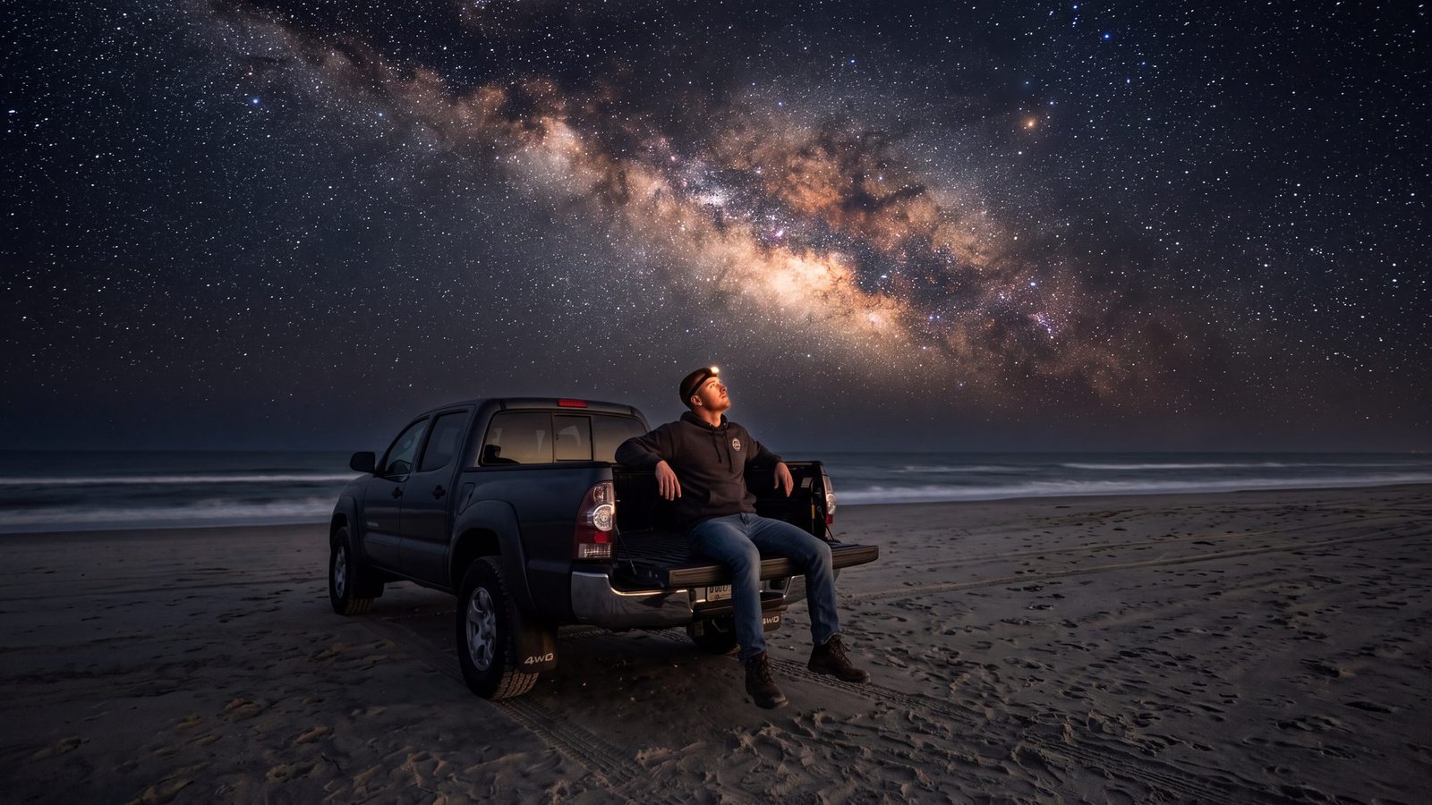
The idea: a sky with the Milky Way in it, seen from a beach with nobody on it.
The real thing: Hatteras and Ocracoke islands, most of which are national seashore with nothing lit for miles. In summer the Milky Way rolls right over the beach, and a 4x4 gets you away from the village glow. The night-driving guide covers the rules after dark, and the overnight options cover where you can actually stay out. The Hatteras Island map shows how far the villages are from the dark.
The twist: the darkest sky on the coast comes with a curfew. In sea-turtle nesting season the seashore closes parts of the beach to vehicles at night, so read the closures before you drive in — and the nights you can go, you will have the stars to yourself.
54. Take the ferry to Ocracoke
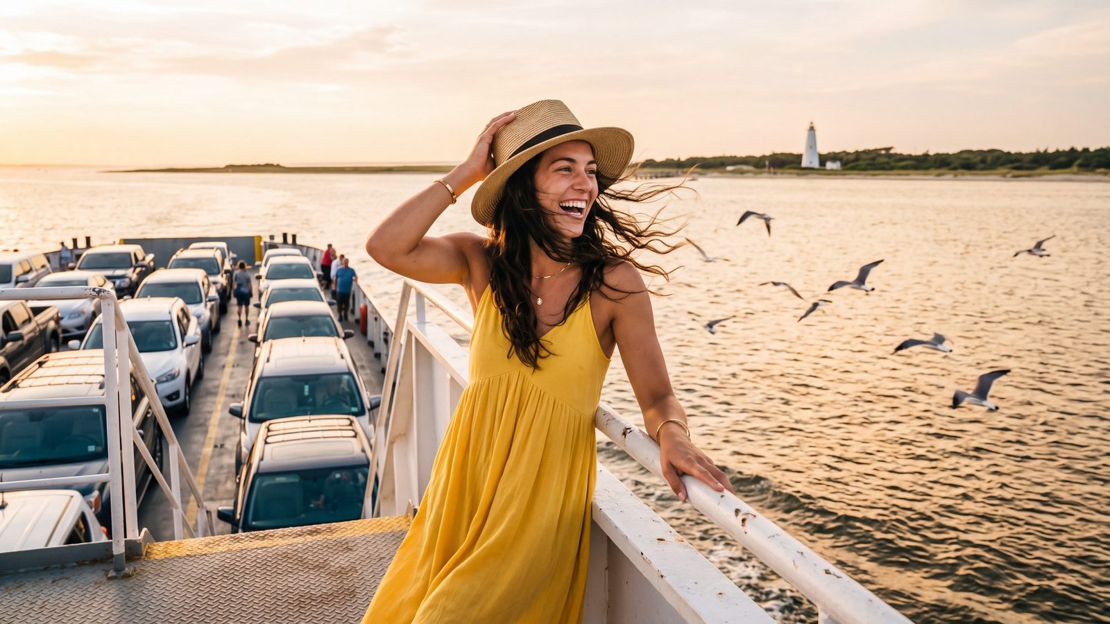
The idea: to arrive somewhere by boat, the way everyone on the show seems to.
The real thing: the North Carolina ferries — the Hatteras boat to Ocracoke is free through 2026 and runs all day, and the long mainland crossings from Cedar Island and Swan Quarter charge a fare and take reservations. Gulls ride the rail the whole way. Every crossing, mapped, and the ferry strategy for a 4x4 day that ends back on the right side of the water.
The twist: the boat is the game. Blackbeard’s Gold: The Crossing is a treasure hunt written to be played from the ferry line and the deck, so the hour on the water is the first chapter instead of the wait.
The last word
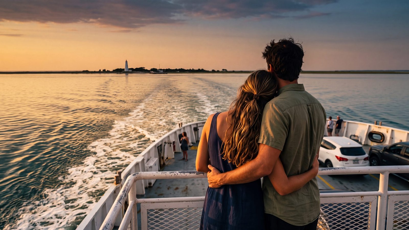
Kildare is the show’s. Kill Devil Hills and Dare County are real, and so is everything above: a real string of barrier sand more than a hundred miles long with four lighthouses, one pirate, a beach you can drive, ride, surf or run a dog on, a sound you can fly over or drift, a light you can climb, a wreck you can walk to, blue water past the inlet, a sky with the Milky Way in it and a ferry that runs on time — and none of it goes off the air. Is Kildare Island real? has the full answer, and it puts every borrowed place on the chart.
Kildare, asked and answered
Where does the name Kildare come from?
Read it in two pieces and two real Dare County names fall out: Kil-, as in Kill Devil Hills, and Dare, the county Kill Devil Hills sits in. Whether that was the writers’ plan is theirs to say. Both places are real, and both are on this page.
Is Kildare County a real place?
Kind of. Kildare County is the name the Netflix series Outer Banks gives this coast. The real county under most of it is Dare County — home of Kill Devil Hills, Nags Head, Manteo and Hatteras Island — with Currituck County to the north (Corolla and the 4x4 beach) and Hyde County to the south (Ocracoke).
Is Kildare Island in North Carolina?
The place it was drawn from is: the Outer Banks, from Corolla down to Ocracoke. The show itself is filmed around Charleston, South Carolina. Nothing on a North Carolina map is named Kildare Island — but Kill Devil Hills and Dare County are both on it.
Is there a new show called Kildare?
A prequel with the working title Kildare was described by the series’ creators in August 2026 as being written for Netflix — set about twenty years before the original, about how the Kooks and Pogues split. No cast, filming location or date had been announced when this page was last checked.
What can you actually do on “Kildare Island”?
Everything above: drive the Carova beach, climb the Currituck light, kiteboard Canadian Hole, fish the fall drum run at Cape Point, ride the ferry to Ocracoke and hunt Blackbeard’s gold when you land — and, when it rains, stand under the 1903 Flyer. Fifty-four of them, each with the guide that gets you there.
Two of the days above are games
Two of the days above are real games. Blackbeard’s Gold is played on Ocracoke; The Crossing is played on the ferry to it. Both run on your own phones, $29 a team, whenever you land.
All Outer Banks treasure hunts →Checked against the sources
The pictures: made for this page with AI image tools. The places are drawn from the real coast; the people are not real and are not anyone in particular.
Coast facts: the first flight of December 17, 1903, Virginia Dare’s birth on Roanoke Island in 1587, the lighthouse heights and the 1999 move, Blackbeard’s death at Ocracoke on November 22, 1718, the ferry routes, the beach-fire and dog rules and the beach-driving rules are covered in depth in this site’s own guides, linked above.
The name: Kill Devil Hills and Dare County are real places; that both sit inside “Kildare” is an observation about the map, not a claim about the writers. The prequel details are as reported by the series’ creators in August 2026 and may change. Not affiliated with Netflix or the Outer Banks series — the coast is the real thing.
Last checked: September 2026.