
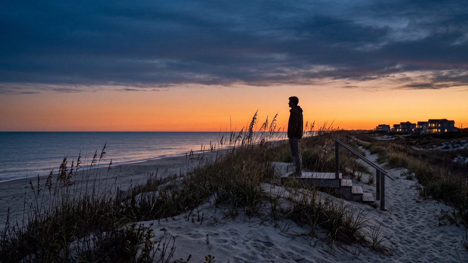
Kildare Island? Kind of — the name is the show’s; the coastline it’s drawn from is this one. Yes, the Outer Banks is a real place: a 100-plus-mile string of barrier islands off the North Carolina coast, from Corolla down through Hatteras to Ocracoke. And no — the Netflix show isn’t filmed here. Outer Banks has been shot in and around Charleston, South Carolina since season one, with recent seasons also filming internationally. Kildare Island, the Cut, and Figure Eight are fictional places, loosely inspired by the real islands this site maps.
What the show gets right — and what it can’t fake
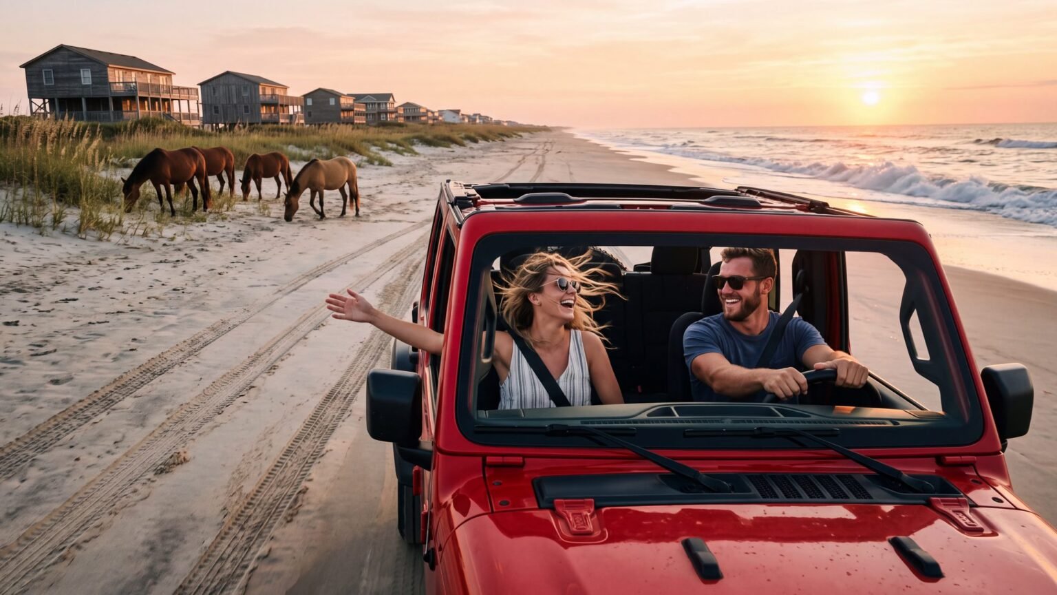
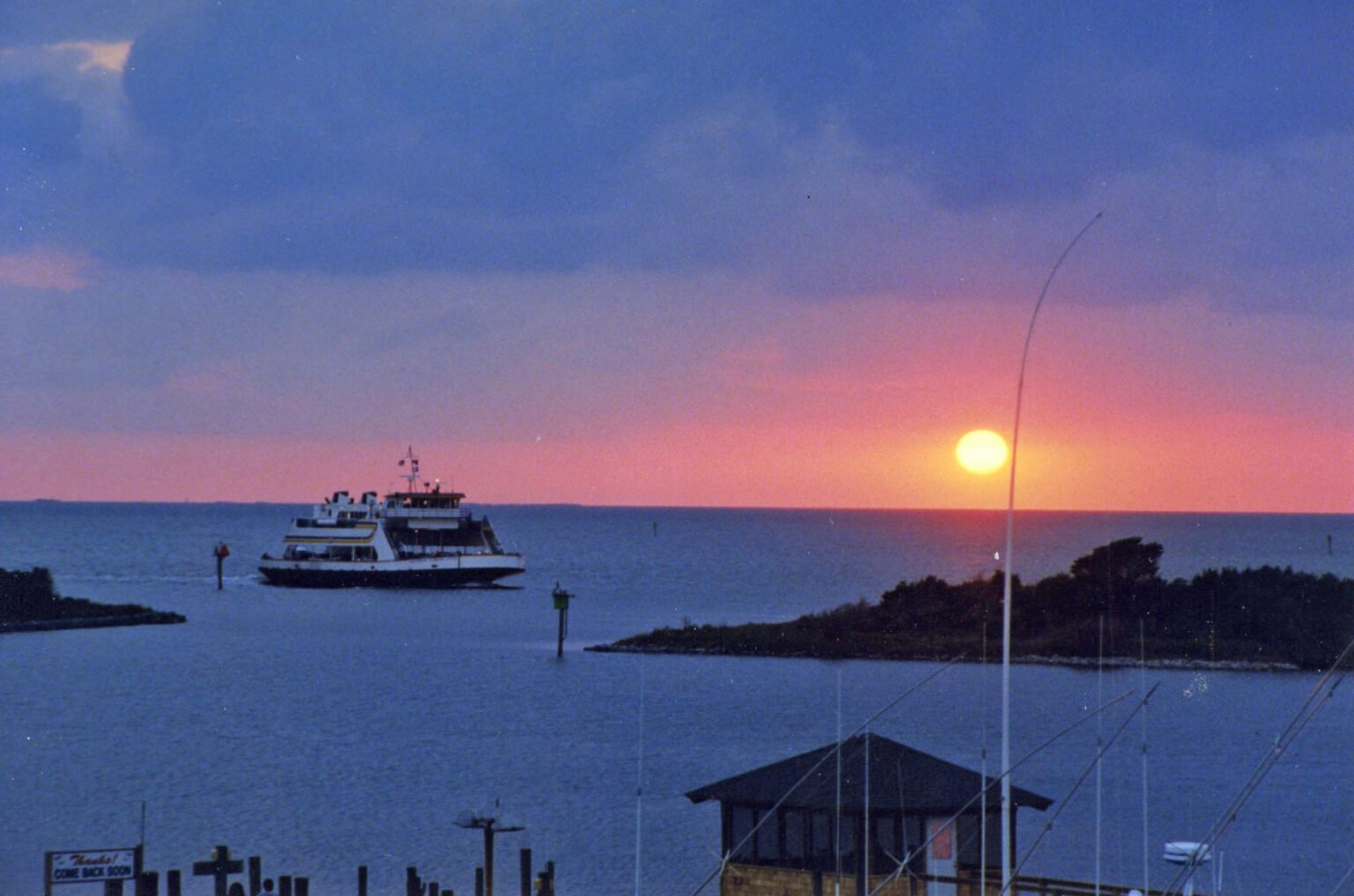
The show borrowed the real thing’s best idea: a place where the beach is the road. On the actual Outer Banks, that part is true. Driving on the sand is legal and everyday here — north of Corolla the beach is the only road, and the houses of Carova can’t be reached any other way. The wild horses are real too: a herd of wild Colonial Spanish Mustangs really does roam the northern beaches. What the show can’t fake is the geography — the real OBX has the Cape Hatteras National Seashore, the tallest brick lighthouse in America, a ferry to Ocracoke (free through 2026), and villages that look nothing like a Charleston backlot.
What actually was filmed on the Outer Banks
Hollywood has come here for real: Nights in Rodanthe (2008) filmed at the oceanfront house now known as the Inn at Rodanthe — it still stands right along NC-12 in Rodanthe, and you can drive past it on the way down Hatteras Island.
Go see the real Outer Banks
The Outer Banks places on this page are all open to anyone who shows up. North of the paved road in Corolla, the beach is the road — you need a 4x4 and a permit to drive it. Two maps cover the ground: the Corolla and Carova map for the wild-horse beaches up there, and the 4x4 beach access map for the ramps and beach access points down the rest of the coast.
Is Kildare Island a real place?
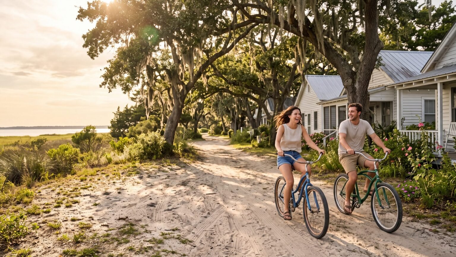
Kind of — and the “kind of” is the fun part. You won’t find Kildare Island on any chart, but the show built it out of real pieces. The setting is the real Outer Banks. Say the name slowly and the real Dare County — the county that covers most of these beaches — is hiding right inside it: Kil-dare. Figure Eight is a real name too, borrowed from a private island near Wilmington. The Cut has no street address, but every barrier-island town here has a year-round working side the summer crowd never sees. Fiction, yes — assembled from places you can actually drive to, on the map below.
Read the front half the same way and Kill Devil Hills — the town where the Wright brothers flew — is in there too. Kildare Island, explained takes the whole name apart and lists fifty-four things to do on the real coast, rain or shine. And if you want a show that really was filmed on the Outer Banks, that is Wicked Tuna: Outer Banks — Oregon Inlet, Wanchese and the winter bluefin fleet.
The nearest real equivalents, if you want to go: the working-harbor side of the islands is closest to Ocracoke, reachable only by ferry and still a village rather than a resort. The wealthy-enclave side is closest to the gated northern beaches around Corolla. And the wild, unreachable-by-normal-car stretch that the show keeps gesturing at is genuinely real — it is the eleven miles of sand north of Corolla, where the pavement stops and the wild horses live.
If the map makes you want to go and walk it, our self-guided treasure hunts play out on these islands. Most of them run on the beaches and villages up and down the banks; Blackbeard’s Ocracoke Treasure plays out on the island where Blackbeard was killed in 1718. Both run on your phone, at your own pace, and the history underneath them is the real thing.
Is Kildare County a real county in North Carolina?
The place is real. The name is not. And if we had to guess at the origin of the name, we would say it was built out of two real ones stacked right on top of each other here — Kill Devil Hills, the town, and Dare County, the county it sits in. Front of one, back of the other. Kil + dare. That is our guess, not gospel, and nobody has to confirm it for the coast underneath to be real: same sand, same sound, same storms. But once you have seen it you cannot unsee it.
And the town half of that has lore of its own, because nobody is certain where Kill Devil Hills got its name either. One version puts it on the rum — barrels coming ashore off the wrecks out on these shoals, liquor rough enough that people said it would kill the devil. The other version is better: a local man trapped the devil in a pit to squeeze money out of him, on the same hill the Wright Brothers Monument stands on today. The town has never settled which one is true. Either one is the kind of name a coast earns rather than one a writers’ room thinks up, which may be exactly why it was worth borrowing.
Either way, you can go stand on it. Dare County is the long thin run of barrier island most people mean when they say the Outer Banks — Kitty Hawk, Kill Devil Hills and Nags Head strung along the beach road, Manteo and Roanoke Island tucked behind the sound, then the drive south through Rodanthe, Avon and Buxton to Hatteras village with ocean on one side and sound on the other the whole way down.
Two more counties finish the chain. Currituck County holds Corolla and the roadless 4x4 beaches at Carova, where the pavement quits and the wild horses live. Hyde County holds Ocracoke, out at the far end, where you arrive by ferry.
What you will not find anywhere on a map of North Carolina is a Kildare — no county, no town, no dot on the chart. Go looking for it and you land on Dare. Which is the whole answer: a real coast wearing an invented name.
Where are the Cut and Figure Eight in real life?
The Cut is invented. There is no working-class channel district on the Outer Banks answering to that name, and no single place the writers were copying. The closest real thing in feel is the harbor end of a working village — Wanchese on Roanoke Island, or the docks at Ocracoke — where the boats are commercial and nobody is on holiday.
Figure Eight is a borrowed name, not a borrowed place. There is a real Figure Eight Island in North Carolina, but it sits near Wilmington, about two hundred miles down the coast from the Outer Banks, and none of the show was shot there. The gated, moneyed stretch the series is gesturing at is closest in reality to the northern beaches around Corolla.
And Poguelandia does not exist anywhere. It is a name the show made up — here is where that island was filmed, and the real empty one on this coast.
The Pogues-versus-Kooks divide is the show’s invention too — there’s no working-class “Cut” squaring off against a gated “Figure Eight” on the real Outer Banks. The name Figure Eight is borrowed from a real place, though: Figure Eight Island, a private, bridge-gated island near Wilmington — about 200 miles southwest of the real OBX. Out here the closest thing to Kook territory is a rental house with a private pool, and everybody stands in the same line at the beach ramp.
Want the real thing?
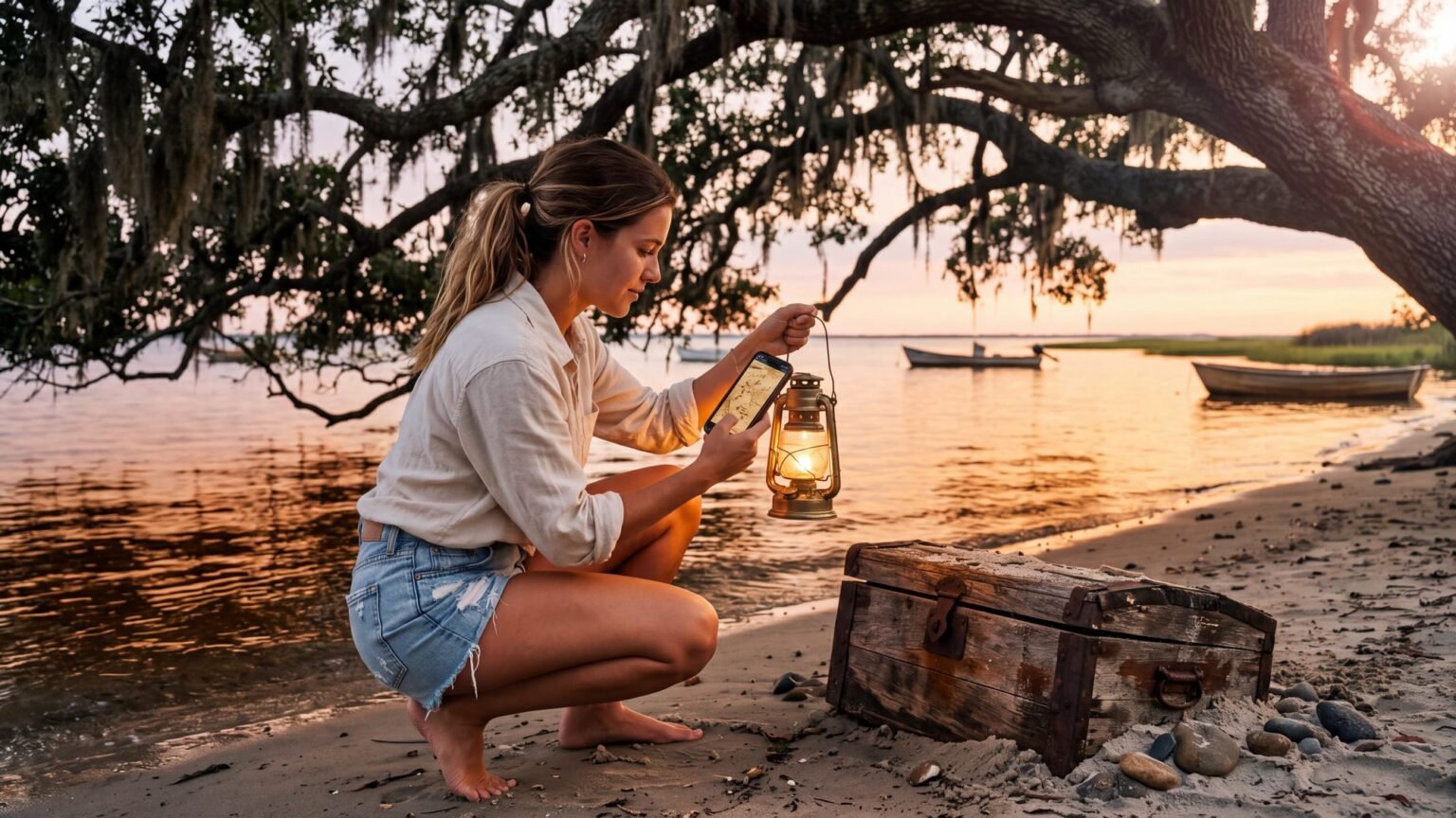
If the show put the Outer Banks on your list, the real version is better than the set: start with our guides to the wild horses, the Hatteras–Ocracoke ferry, and beach driving — our sister site outerbanksbeachdriving.com covers every rule and ramp. Ford even named a Bronco trim after these islands — our sister site’s Bronco beach-driving guide covers taking one on the namesake sand. And if you want to actually drive these beaches the way the locals do, our rental company Beach4x4 rents beach-ready 4x4s with the permits already handled.
The islands really are full of the raw material — a village buried under a moving dune, five life-saving stations gone to weather, a wreck that killed eighty-five people and shamed Congress into properly funding the U.S. Life-Saving Service, and the place a real pirate actually died in 1718.
Where was Outer Banks Season 5 filmed?
Outer Banks season five — the final season — premiered on Netflix August 20, 2026, and like every season before it, it was shot around Charleston, South Carolina — much of it on Wadmalaw Island — and even the show’s New Orleans was built in Charleston. The show ends; the real place doesn’t. OBXmaps is not affiliated with Netflix or the Outer Banks series.
Which lighthouse is in Outer Banks Season 5?
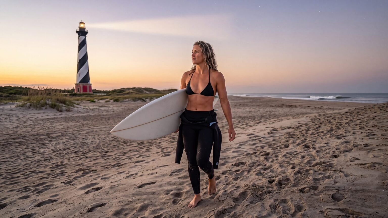
Not an Outer Banks lighthouse — and that surprises a lot of people. The lighthouse in the show’s later seasons is the Hunting Island Lighthouse, inside Hunting Island State Park near Beaufort, South Carolina. The production has filmed in and around Charleston since season one, and Hunting Island’s beach and lighthouse stood in for the show’s coastal scenery, including scenes for the final season.
The real Outer Banks answers with four of its own, and they out-story any film set. Currituck Beach Lighthouse in Corolla is unpainted red brick and climbable. Bodie Island wears the horizontal bands. Cape Hatteras is the tallest brick lighthouse in the country and was famously moved 2,900 feet inland in 1999 to escape the ocean. Ocracoke Light, reached by ferry, is the oldest one in North Carolina still doing its job — it was lit when people who had met Blackbeard’s crew were still alive.
Blackbeard was real — he died in the water off Ocracoke’s Springer’s Point in 1718 — and what became of his plunder is a question three centuries haven’t settled. Our sister site Blackbeard’s Ocracoke Treasure covers the real story — whether any of his treasure was ever found, the old maps, the spot where it ended.
The Royal Merchant, El Dorado, and the gold
Kind of real — the ships sail only in the scripts, but the water is real, and it has earned its name: the Graveyard of the Atlantic, where vessels have been going down on the shoals since the 1500s. The gold question did not need inventing either. Blackbeard was real; he died in the water off Springer’s Point, Ocracoke, in November 1718, and what became of his plunder is a question three centuries have not settled — the whole story is on the Blackbeard page.
Frequently Asked Questions
Is Outer Banks a real place?
Yes. The Outer Banks is a real chain of barrier islands in North Carolina, stretching from Corolla to Ocracoke. The Netflix show is named after it but films elsewhere.
Is Kildare Island real?
Kind of. There’s no Kildare on any map — but the real Dare County is hiding inside the name, and the real towns the show draws from sit in Currituck, Dare and Hyde counties. The map on this page shows exactly what the writers were working from.
Where is Kildare Island supposed to be?
In the story, Kildare County sits on the North Carolina coast right where the real Outer Banks are. No island by that name appears on any real map — the map above shows what actually occupies that stretch of coastline, from Corolla down to Ocracoke.
Are the Pogues and Kooks real?
Kind of — the tribe names are the show’s, but the split they describe is as old as this coast: working watermen on one side of the road, big-cottage money on the other. The place-by-place rundown of what the show borrowed from where — the Cut, Figure Eight, Poguelandia, the lighthouse — is further down this page.
Where is the Outer Banks show filmed?
In and around Charleston, South Carolina, since season one. Recent seasons also filmed internationally. None of the series has been filmed on the actual Outer Banks.
Can you visit the filming locations?
The show’s locations are in the Charleston area. On the real Outer Banks, you can visit genuine film history instead — including the Inn at Rodanthe from Nights in Rodanthe, which still stands on Hatteras Island.
Is the real Outer Banks like the show?
The setting is loosely inspired by it. The real version has legal beach driving, actual wild horses on the northern beaches, and a national seashore — no treasure hunts required.
Is Poguelandia a real island?
Kind of. No island carries that name, but the real coast keeps an empty one: Portsmouth Island, just past Ocracoke, where a whole village emptied out and the houses still stand. It is part of Cape Lookout National Seashore, boat access only.
Is the Royal Merchant a real shipwreck?
Kind of. That ship sails only in the scripts, but the water it sank in is the real Graveyard of the Atlantic, collecting wrecks since the 1500s. The gold question is real too: Blackbeard died at Ocracoke in 1718, and what became of his plunder has never been settled.
Is the Blackbeard story in Outer Banks real?
Kind of. His ship really did go down on a sandbar in 1718, the Queen Anne’s Revenge at Beaufort Inlet, and he really did die that November at Ocracoke, on the Royal Navy’s sword rather than a Genrette’s. The captain’s log, the amulet and the Blue Crown are the show’s. The real trail, season by season against the record, is on the Blackbeard page, and The Crossing is the hunt played on the ground where it ends.
Related OBX Guides
Planning a real-life Outer Banks trip? See where to find the wild horses, climb the lighthouses, hit the beaches, and find the best restaurants. Start with our full Things to Do in the Outer Banks guide.
Locally verified
Reviewed by the Beach4x4 team in Kill Devil Hills, NC
Last checked: August 2026
Sources: the official park, town and county pages for this topic. Always confirm hours, fees, and closures with the official source before you go.