
Ocracoke is the southernmost inhabited island of the Outer Banks, reachable only by ferry. Because there are no bridges, knowing the island’s layout — where the ferries dock, how to find Ocracoke Village, and which beach access ramps allow four‑wheel‑drive — makes a real difference before you arrive. This page maps out the whole island, from the Hatteras‑Ocracoke ferry landing at the north end to the village and harbor at the south.
Which dock you land at changes your whole day. The Outer Banks ferry map puts all four crossings and both Ocracoke terminals side by side.
For the full guide — what’s free, the ponies, the ferries — see Things to Do in Ocracoke.
Interactive Map of Ocracoke Island
Use the map below to orient yourself. The island runs about 16 miles end to end, and it is roughly 13 miles from the ferry terminal at the north tip down to Ocracoke Village, with one road — NC Highway 12 — connecting the two.
Save this map to your phone for offline use
How to Get to Ocracoke
There are four ferry routes to the island, including the seasonal Ocracoke Express passenger ferry from Hatteras, which docks in the village itself. The Hatteras–Ocracoke vehicle ferry (free until tolls begin January 1, 2027) runs from the south end of Hatteras Island and takes about 70 minutes, dropping you at the island’s north tip. Two longer toll ferries connect the mainland — from Cedar Island and from Swan Quarter — and arrive near Ocracoke Village at the south end. Reservations are strongly recommended for the toll routes in summer. For full route details, fares, and how reservations actually work, see the Outer Banks ferry guide.
Ocracoke Village
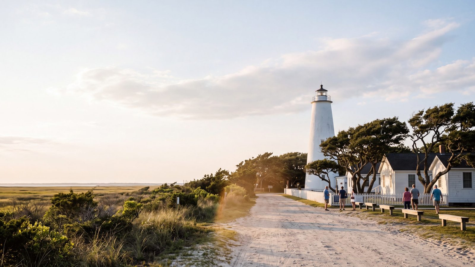
Nearly everything on the island that isn’t beach is clustered around Silver Lake Harbor in Ocracoke Village: restaurants, shops, the Ocracoke Lighthouse, the British Cemetery, bike rentals, and the National Park Service visitor center. The village is compact and flat — most visitors get around on bikes or golf carts once they park.
Beaches & Beach Access on Ocracoke
Most of the island’s shoreline is protected as part of Cape Hatteras National Seashore, which keeps it wonderfully undeveloped. The lifeguarded Ocracoke Beach (Day Use Area) sits about midway up the island off Highway 12 and has the largest parking lot, restrooms, and a boardwalk. Several numbered off‑road vehicle (ORV) ramps allow permitted four‑wheel‑drive access onto the sand for those who want to drive the beach away from the crowds. There are six of them, and which one you take depends on what you came for.
Driving the Beach on Ocracoke
Ocracoke has some of the most rewarding four‑wheel‑drive beach miles on the Outer Banks, but you’ll need a National Park Service ORV permit and a vehicle that’s genuinely equipped for soft sand — proper tires, the ability to air down, and recovery gear. Seasonal closures protect nesting birds and turtles, so always check current ramp status before you go. If you’re visiting without a capable vehicle, you can rent a 4x4 built for OBX beach driving from Beach4x4, our 4WD rental company in Kill Devil Hills rather than risk getting stuck.
Plan the Rest of Your Outer Banks Trip
Heading to Ocracoke is usually one stop on a bigger Outer Banks trip. Line up the rest of your route with these guides:
- Outer Banks Maps — the full island‑by‑island map directory.
- OBX Tide Charts — check tides before any beach driving or fishing.
- Outer Banks Surf Fishing — Ocracoke’s south point is a legendary surf‑fishing spot.
- Beach4x4 — rent a Jeep or 4x4 to drive the beach.
- Outer Banks Hurricane Evacuation Routes — the actual roads off the islands, mapped.
- Outer Banks Hurricane History — every storm that shaped Ocracoke, from the 1899 hurricane to Dorian and Erin.
- Outer Banks Live Webcams — the Silver Lake harbor cams and the ferry dock at the north end.
- Outer Banks Boat Ramps & Kayak Launches — the free Park Service ramp by the ferry docks, and every other public launch.
How do you get to Ocracoke Island?
The Ocracoke Island map above lays out the ferry routes, the village and the beaches before you go. Ocracoke is reachable only by ferry. The Hatteras-Ocracoke ferry (free through 2026) runs from the south end of Hatteras Island and takes about 70 minutes. Two toll ferries connect from the mainland: from Cedar Island and from Swan Quarter, both arriving near Ocracoke Village. Reservations are strongly recommended for the toll routes in summer.
What is in Ocracoke Village?
Nearly everything on the island is clustered around Silver Lake Harbor in Ocracoke Village: restaurants, shops, the Ocracoke Lighthouse, the British Cemetery, bike rentals, and the National Park Service visitor center. The village is compact and flat, so most visitors get around by bike or golf cart once they park.
Can you drive on the beach on Ocracoke Island?
Yes, Ocracoke has some of the most rewarding 4x4 beach miles on the Outer Banks. You need a National Park Service ORV permit and a vehicle that can air down to around 18-20 psi. The lifeguarded Ocracoke Beach day-use area is accessible without a 4x4. Seasonal wildlife closures apply, so always check current ramp status before you go.
The channel south of the village is Teach’s Hole, named for the pirate killed there in 1718. See Blackbeard on the Outer Banks for what happened and what is left to visit.
His gold has never been found: Blackbeard’s Gold is a self-guided treasure hunt through the village on your phone, working out what actually became of it.