
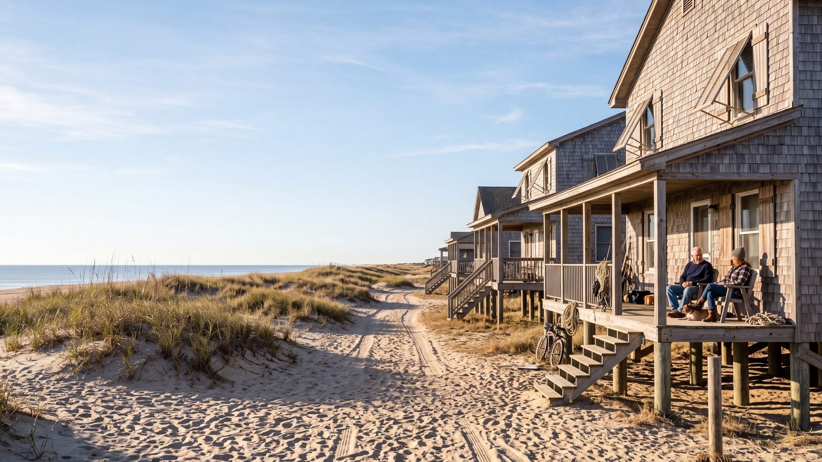
Mileposts are how Nags Head is actually addressed. Rental listings, restaurant directions, and locals all use MP numbers rather than street numbers, so knowing which landmark sits at which marker turns a long blur of oceanfront into a simple number line.
How Mileposts Work in Nags Head
The traditional Outer Banks milepost system starts at MP 1 in Kitty Hawk, just past the Wright Memorial Bridge, and runs south through Nags Head to about MP 17. NC Highway 12 is the 148-mile spine of the Outer Banks, connecting 21 coastal villages from Corolla to Ocracoke, and green milepost signs are posted along it — they are the best reference for finding a specific location once you are behind the wheel.
The numbers climb as you drive south, so a lower number means you are heading toward the Wright Memorial Bridge and a higher one toward Oregon Inlet.
The system sticks because the villages blur together and street signs are sparse, so locals and businesses give directions by milepost rather than address. Many OBX businesses put the number straight into the address, written like “MP 12.5, Beach Road,” and a rental listed near MP 9 or a restaurant at MP 13 tells you exactly how far north or south it sits before you ever open a map. For the whole corridor from Corolla to Ocracoke, work from the full OBX mile marker guide.
Mileposts are how the Outer Banks gives directions. The convention visitors actually use runs along US 158 and the Beach Road from MP 1 in Kitty Hawk down to about MP 17 at Whalebone Junction in Nags Head — that is the stretch where a business will tell you it is “at MP 9” or “near MP 13.” NC Highway 12 itself carries green highway mile markers that keep counting south down Hatteras Island to Hatteras Village, so you will see higher numbers on the road (MP 23 at Bodie Island Lighthouse, around MP 72 in Hatteras Village). Duck uses street names instead, and the villages on Hatteras Island and Ocracoke mostly give directions by village name rather than milepost.
Landmarks by Milepost
The mile marker guide states these mileposts for Nags Head and its southern edge, in order as you drive south.
MP 11.5 — Nags Head Fishing Pier
Nags Head Pier is listed at MP 11.5. Built in 1947 at 3335 S Virginia Dare Trail, it is the old-school pier in town, with an on-site tackle shop and the oceanfront Pier House Cafe.
MP 12 — Jockey’s Ridge State Park
Jockey’s Ridge State Park sits at MP 12, with its entrance at 300 W Carolista Dr. It is the tallest living sand dune system on the Atlantic coast. An accessible boardwalk runs toward the dunes, the hang gliders you will see overhead launch from them, and sunset is the best show in town. Wear real shoes, because the sand gets scorching.
MP 16.5 — Jennette’s Pier
Jennette’s Pier is listed at MP 16.5, at 7223 S Virginia Dare Trail — the state-owned showpiece, 1,000 feet of concrete with aquarium exhibits in the pier house. A blanket license covers pier fishing, so you do not need your own.
MP 23 — Bodie Island Lighthouse (just south of town)
Bodie Island Lighthouse is listed at MP 23, which places it just south of town near Oregon Inlet: black-and-white bands over a marsh boardwalk. Climbing is seasonal and ticketed, so treat it as a possible add-on rather than a fixed plan.
Not everything in town carries a number. Nags Head Woods Preserve has no milepost on the mile marker guide, so plan it by address: the Nature Conservancy’s maritime forest of trails and ponds, entrance at 701 Ocean Acres Dr, technically over the Kill Devil Hills line even though the woods carry Nags Head’s name. For more on what is worth stopping for, see our guide to things to do in Nags Head.
Beach Road vs Bypass
A milepost tells you how far south you are, not which road you are on, and Nags Head has two running parallel. The beach road is the oceanfront strip, where the S Virginia Dare Trail addresses are, along with the piers, Sam & Omie’s, and the densest run of oceanfront hotels and motels on the beach. The bypass runs inland alongside it.
The mileposts do not change between them — MP 12 is MP 12 on either road — so the number gets you to the right stretch of town and the road name gets you to the right side of it. That is why local addresses pair the two, as in “MP 12.5, Beach Road.” When someone gives you a milepost, ask which road.
If your milepost math is really about finding sand and parking, pair this page with our Outer Banks beach accesses guide, which covers parking, bathhouses, and lifeguards along the beach.
Nags Head Milepost FAQ
What milepost is Jockey’s Ridge State Park at?
Jockey’s Ridge State Park is at MP 12, with its entrance at 300 W Carolista Dr. It is the tallest living sand dune system on the Atlantic coast.
Where do Outer Banks mileposts start?
The traditional milepost system starts at MP 1 in Kitty Hawk, just past the Wright Memorial Bridge, and runs south through Nags Head to about MP 17. Duck uses street names rather than mileposts, and NC 12 keeps its own highway mile markers running down Hatteras Island, but the villages there and on Ocracoke mostly give directions by village name.
What is the difference between the beach road and the bypass in Nags Head?
They are the two roads running parallel through town: the beach road is the oceanfront strip with the S Virginia Dare Trail addresses, and the bypass runs inland alongside it. Milepost numbers apply to both, which is why local addresses pair a milepost with a road name, as in “MP 12.5, Beach Road.”
What milepost is Jennette’s Pier at?
Jennette’s Pier is at MP 16.5, at 7223 S Virginia Dare Trail — 1,000 feet of state-owned concrete with aquarium exhibits in the pier house. A blanket license covers pier fishing.
Your Phone Does Not Understand Mileposts
Worth knowing before you type one into a maps app. We searched “MP 8.5 Outer Banks NC” in September 2026: Apple Maps sent us to an address in Lexington, about 260 miles inland, and Google only landed nearby because a business had put the milepost inside its street address. The full test of Google Maps, Apple Maps and Waze out here.