
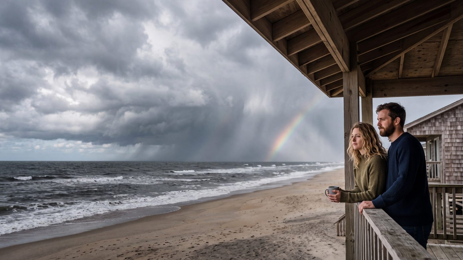
That is the live picture for right now. The full Outer Banks weather page — the forecast explained, how to read the wind out here, what every month normally looks like, and hurricane season — lives on our sister site OBX Tide Charts, alongside the water temperature and tide tools it belongs with.
Outer Banks weather, in full
Live forecast by town, the wind rules locals go by, 30-year monthly normals and what hurricane season means for a beach week.
Open the weather page →Radar
Two views of the same sky. First the National Weather Service radar loop from the Morehead City radar, the one that covers the Outer Banks — a plain picture that refreshes itself. Then Windy’s rain map, which you can drag and scrub forward through the forecast. Summer storms here usually build over the mainland and move east; if the loop shows a line of them west of the sound at two o’clock, plan on the beach chairs coming in early.
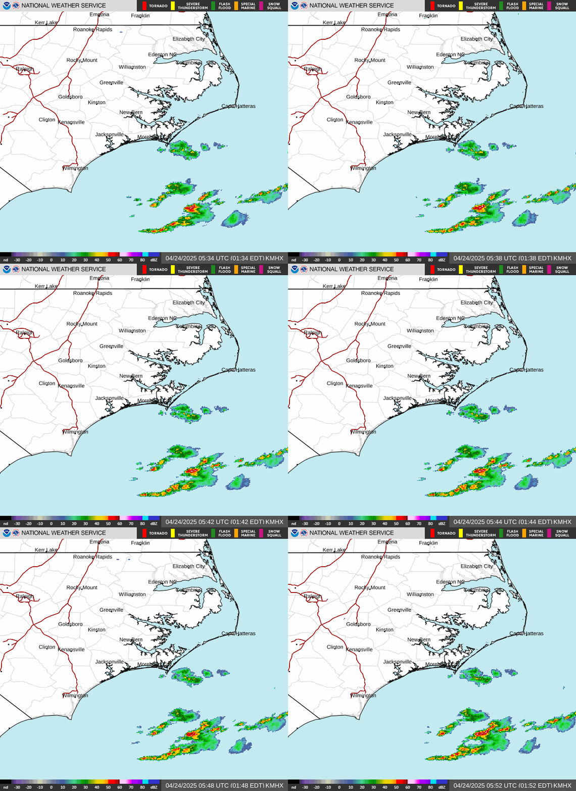
Map: Windy, ECMWF. Wind in mph, temperatures in °F.
Plan around it on OBXmaps
- Outer Banks Water Temperature — live ocean temps, updated hourly.
- Outer Banks Tide Charts — today’s highs and lows by town.
- Hurricane Guide — how evacuation orders work and what they mean for a rental.
- Best Time to Visit — month by month, with this year’s dates.
- Rainy Day Outer Banks — for the afternoon the forecast wins.