
During any storm, follow official orders from Dare, Currituck and Hyde counties. This page is for orientation and planning, not a substitute for official instructions.
Last verified: September 2026
The state’s own evacuation route map. Orange lines are the routes North Carolina Emergency Management designates. The view opens on northeastern North Carolina, where US 64 West and US 158 North carry traffic off the banks.
Published by North Carolina Emergency Management. It is a statewide map, so it also carries nuclear-plant evacuation zones that have nothing to do with hurricanes — the orange road lines are the part that matters here. Open it full screen. Always follow the evacuation order your county issues.
How evacuations work
Counties issue mandatory evacuation orders by zone. Zone A is all of Hatteras Island: Rodanthe, Waves, Salvo, Avon, Buxton, Frisco and Hatteras village. For any other address, check your zone with NC’s Know Your Zone lookup.
Find your zone. Type the address you are staying at into the state’s lookup to see which evacuation zone it sits in.
Know Your Zone, published by North Carolina Emergency Management. Open it full screen. Zone assignments can change, and the county’s order is always the final word.
Dare County: two routes off the beach
Highway 64 West runs via Roanoke Island, Manns Harbor and the Alligator River. This is the county’s recommended route, especially from Hatteras Island, Nags Head and Roanoke Island. It has fewer lights and a steadier speed, so it looks longer on GPS but is typically faster. Heading north afterward? The county says take 64 West to I-95 rather than fighting Hampton Roads traffic.
Highway 158 North crosses the Wright Memorial Bridge toward Elizabeth City and Norfolk. This is the natural route from the northern beaches: Corolla, Duck, Southern Shores and Kitty Hawk take NC 12 south to US 158 west over the Wright Memorial Bridge. County evacuation maps sign this same road as US 158 North — it is one road, and you are heading off the beach. Orders are staged: visitors are ordered out first, usually about a day ahead of residents, so if you are in a rental the earlier deadline is the one that applies to you. Dare County Emergency Management: 252-475-5655.
Note: Currituck County issues its own orders and can order the Corolla Off-Road Area (Carova) evacuated separately. There is no paved road out of Carova — you leave the way you came in, driving the sand south to the Corolla ramp at the end of NC 12, so go early rather than on a falling tide in a rising wind.
Ocracoke: evacuation by ferry
Ocracoke evacuates by NC ferry, using the Hatteras, Cedar Island and Swan Quarter routes. During an evacuation, tolls are waived leaving the island, and inbound ferries are restricted to vehicles with Ocracoke re-entry stickers. See the NC ferry service for schedules and details.
Live road conditions right now
NCDOT’s live map, centered so both routes off the beach are in view — US-64 west over the Alligator River and US-158 north to the Wright Memorial Bridge — with closures, incidents, traffic speeds and the state’s cameras. During an evacuation it is the state’s own picture of the roads, not a crowd-sourced one.
Map: NCDOT DriveNC. It takes a few seconds to draw. Click a camera pin for the live view; the panel on the right turns layers on and off.
Getting back after a storm
Reentry is staged by priority. Dare County works through four tiers: essential personnel first, then permanent residents and critical-business staff, then non-resident property owners, and last the general public and visitors — who need no permit at all, but come back last.
Dare County issues annual reentry permits. Prior-year permits are not accepted, so apply well before a storm is named.
Hyde County (Ocracoke) uses a color-coded pass system: Red for emergency, state and county personnel; Yellow for essential island personnel; Green for resident property owners; and White for non-resident property owners.
Practical notes
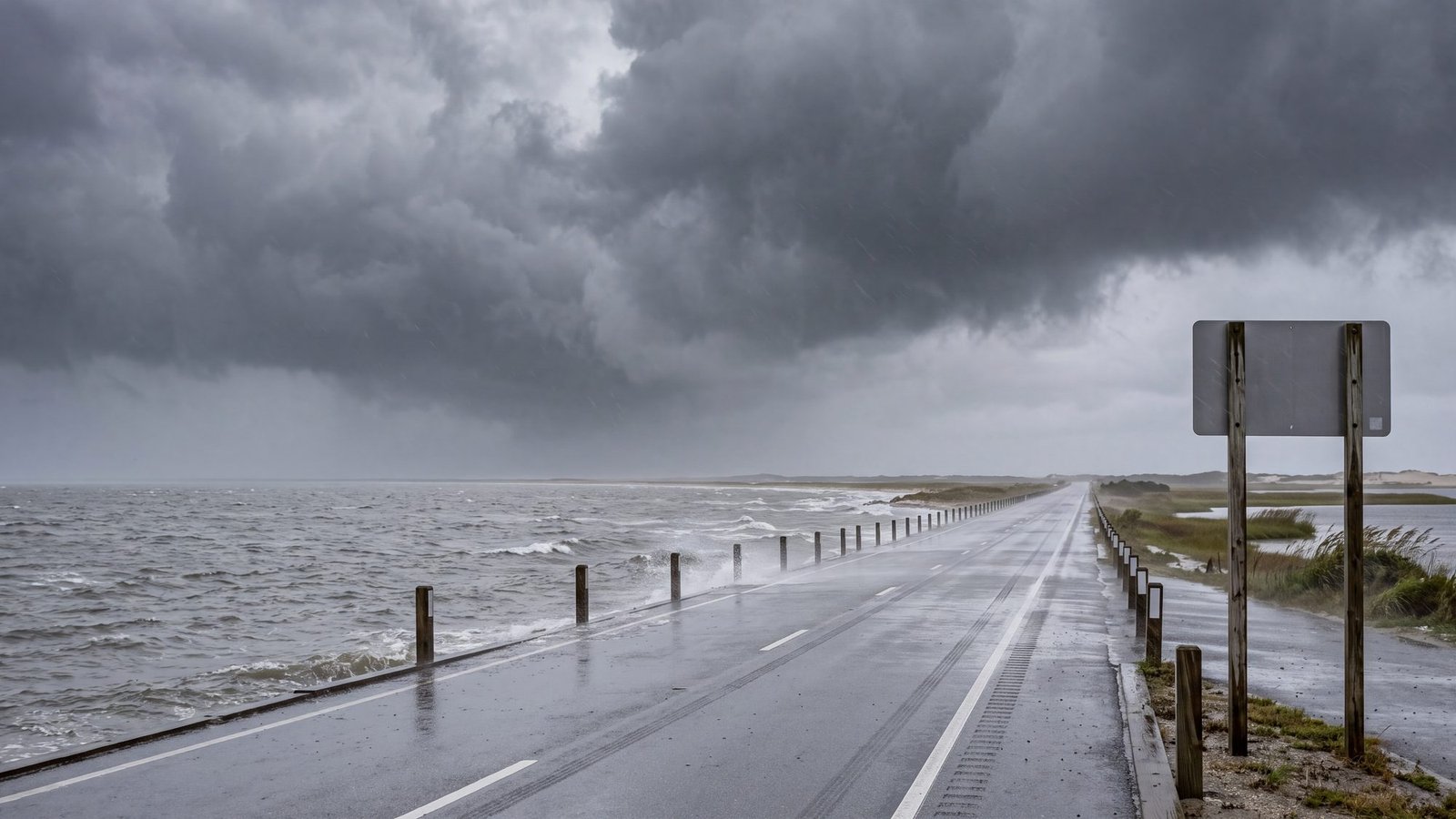
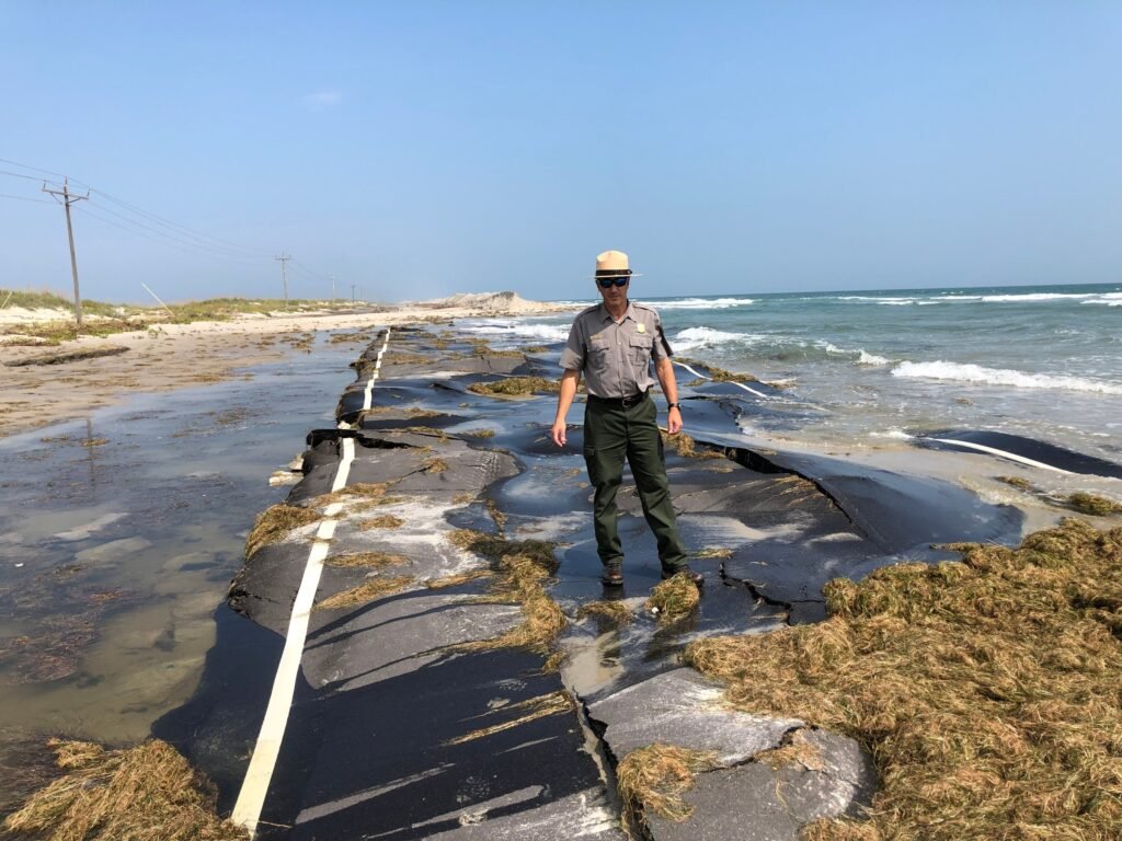
There are no storm shelters on the islands, so plan to head inland. NC 12 commonly floods and can stay impassable for days after a storm.
Stay informed: OBX Alerts for county alerts; DriveNC and the NCDOT NC12 accounts for road conditions; and the Dare County evacuation page for official route info.
Frequently asked questions
Which evacuation route should I take from the Outer Banks?
It depends on where you are. From Hatteras Island, Nags Head and Roanoke Island, Dare County recommends Highway 64 West via Roanoke Island, Manns Harbor and the Alligator River. From the northern beaches (Corolla, Duck, Southern Shores, Kitty Hawk), take NC 12 south to US 158 west over the Wright Memorial Bridge (signed US 158 North on county evacuation maps). Always follow the specific order issued for your zone.
Do I need a permit to return after a hurricane evacuation?
Not if you are a visitor. Dare County reentry runs in four priority tiers — essential personnel, then permanent residents and critical-business staff, then non-resident property owners, and last the general public and visitors, who need no permit but come back last. Permits for the earlier tiers are annual, and prior-year permits are not accepted. Hyde County uses a color-coded pass system for Ocracoke.
Are there storm shelters on the Outer Banks?
No. There are no storm shelters on the islands, so plan to head inland. Keep in mind that NC 12 commonly floods and can stay impassable for days after a storm.
How does Ocracoke evacuate?
Ocracoke evacuates by NC ferry, using the Hatteras, Cedar Island and Swan Quarter routes. Tolls are waived when leaving during an evacuation, and inbound ferries are restricted to vehicles with Ocracoke re-entry stickers.