
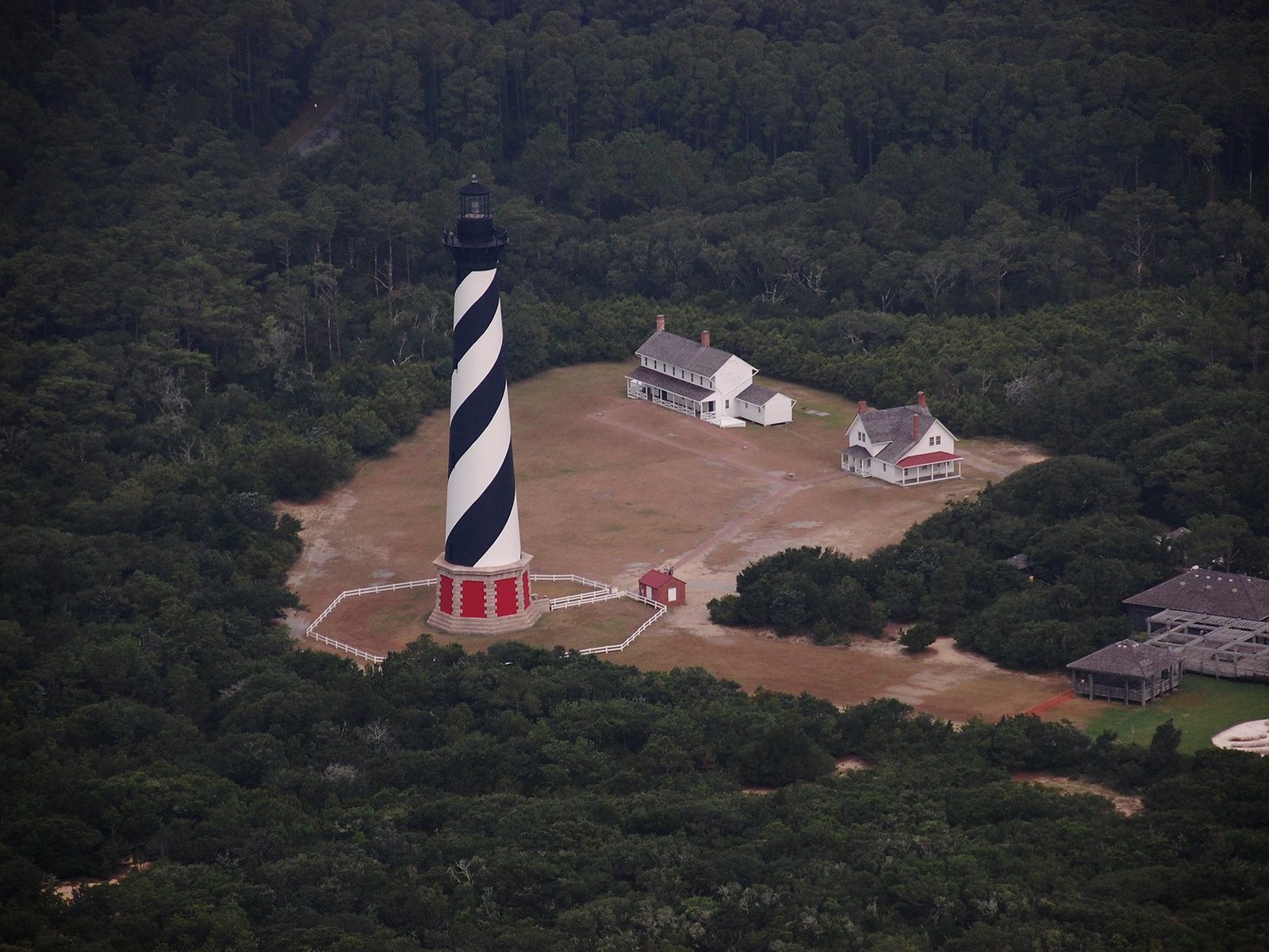
Three bridges on the road south, and not one of them used to be needed. A street that stops at the surf with the sign still standing. A lighthouse half a mile from where it was built. Shifting Sands is a full-day, self-guided driving hunt from Nags Head to Cape Hatteras about how much of this place the sea has already taken — and at every stop, the game hands you the before and the after.
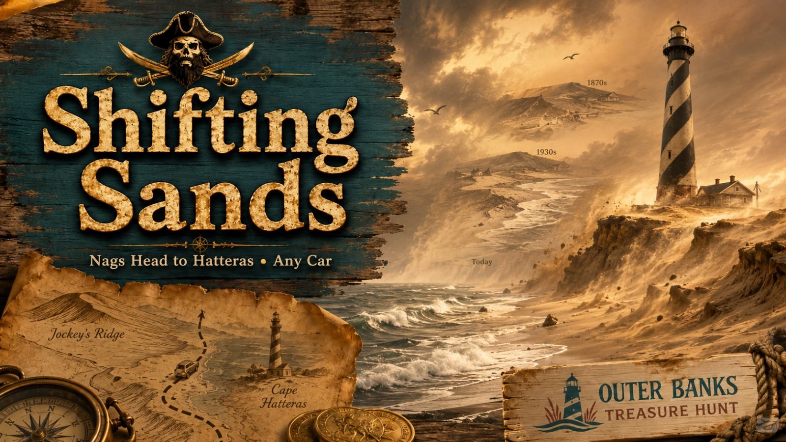
- WhereJockey’s Ridge to Cape Hatteras
- Getting aroundAny car, no sand driving
- DistanceAbout 53 miles, nine stops
- TimeA full day
$29 a team, not per person. Up to six players, on one phone or each on their own, any day within 90 days.
Get the team pass · $29Your team link arrives by email right after checkout. Renting a 4x4 from Beach4x4? Every rental includes a free hunt pass.
GPS opens each stop. A photo challenge puts you where the old shoreline used to be, the questions are answered by what is actually left in front of you, and you keep a count of bridges as you go. A lot of what you are looking at is water.
The route
Jockey’s Ridge
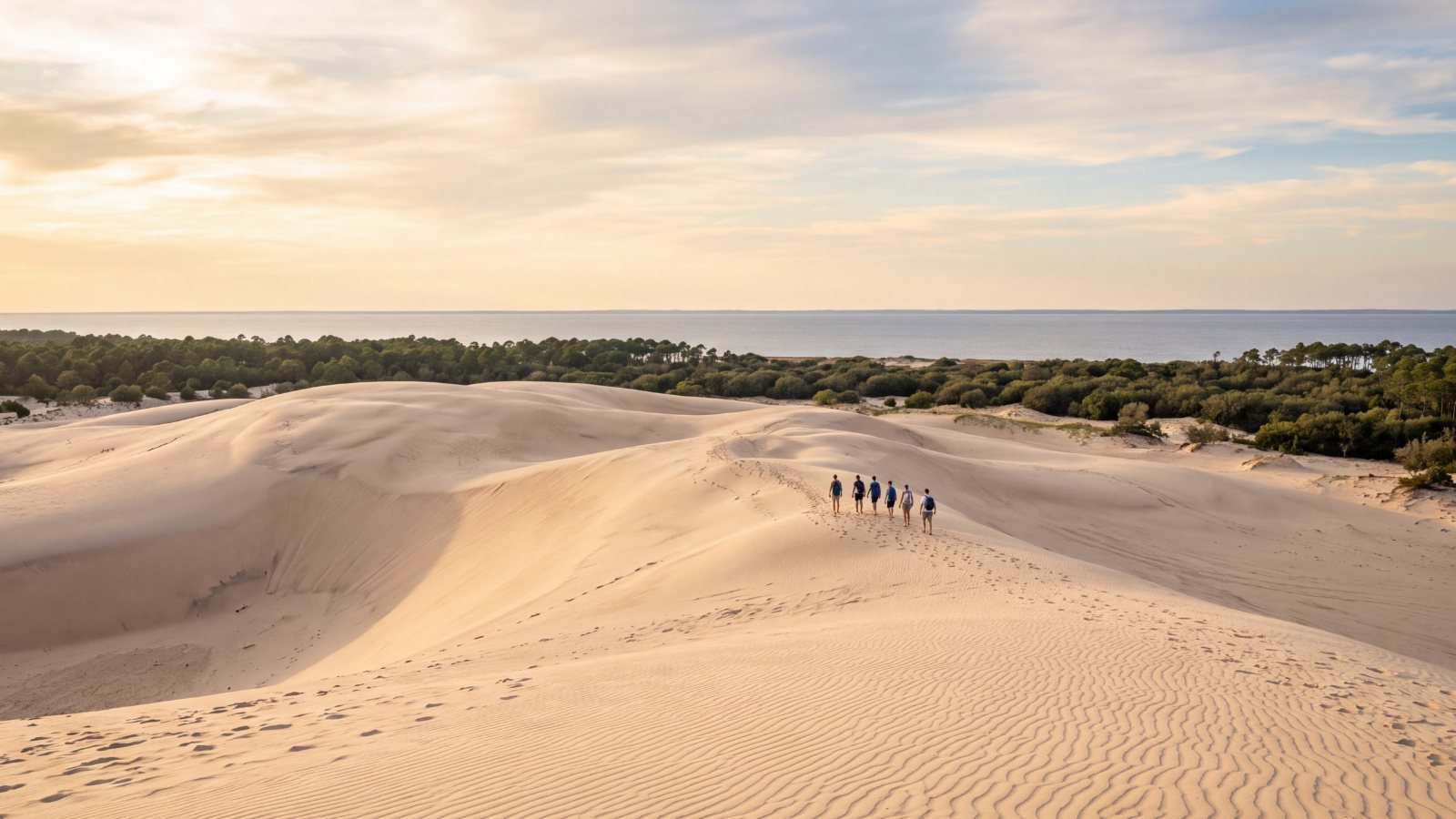
You start on the tallest natural sand dune system in the eastern United States, and it is walking southwest a few feet a year. It buried a miniature golf course in the eighties, and the castle from it still surfaces whenever the wind takes the sand off. In 2019 the park spent a million dollars trucking 140,000 cubic yards of sand back to the end it came from. First lesson of the day, and the easiest one to feel: the ground is not staying put.
A street in South Nags Head
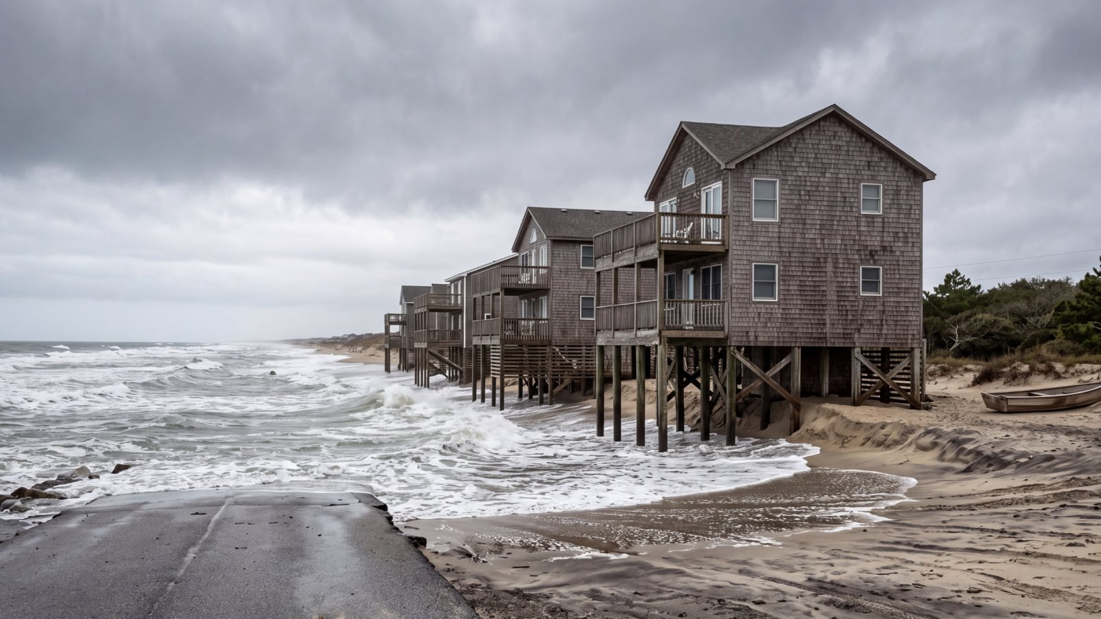
Then East Seagull Drive, where the pavement stops at the water. The row of cottages that stood along it is nearly all gone — the town bought six of them in 2015 and knocked them down — and on the zoning map, more than half of one lot sits in the ocean. This stretch loses about six feet of land a year. You do the arithmetic standing at the end of the road.
Bodie Island Lighthouse
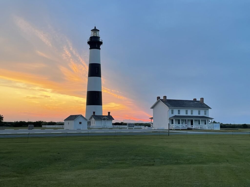
The banded tower is the third lighthouse to stand on Bodie Island. The first sank on its own foundation and was abandoned within a dozen years; the second was blown up in 1861. Both stood on ground that is under water today. The third was built on the far side of the inlet — a rehearsal for what happens at the end of the day.
Oregon Inlet
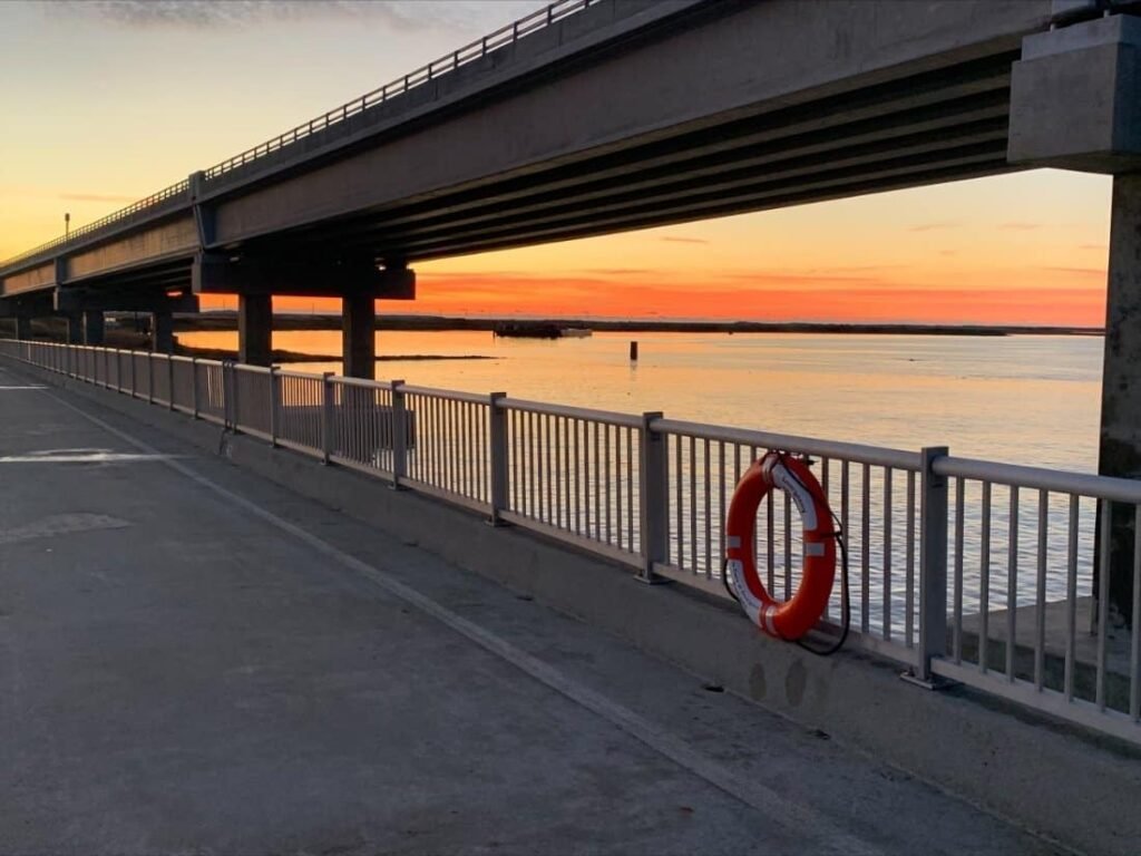
Bridge one. There was nothing to cross here until a September night in 1846, when a hurricane cut the island in two. The inlet has walked more than two miles south since, which is why the bridge over it has always been a problem. You stop on the far side at the Bonner Bridge Pier — the last thousand feet of the old bridge, kept as a free fishing pier — and look back at the Marc Basnight Bridge that replaced it in 2019.
Pea Island
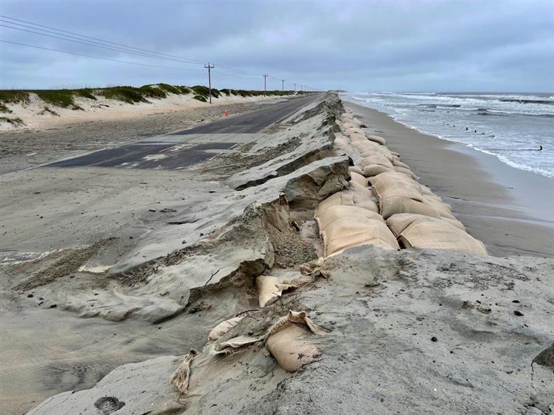
Bridge two. New Inlet cut through here in the 1700s, silted shut, came back in the 1930s, closed again, and came back once more in August 2011 when Hurricane Irene cut Highway 12 in half. The state bridged it, and the inlet filled itself back in — so the Captain Richard Etheridge Bridge now crosses dry sand, because the sand might not stay dry. The wooden pilings of the 1930s bridge are still standing in the water beside the road.
Rodanthe
Bridge three, and this one does not cross an inlet at all. The ocean took the road here so many times that in 2022 the state gave up on the ground and built 2.4 miles of bridge out over the sound to go around it. Everyone calls it the Jug Handle. Rodanthe is also where the houses go: 32 have collapsed onto the national seashore since 2020, here and at Buxton, and the game tells you exactly what to do with your shoes.
Where the lighthouse used to be
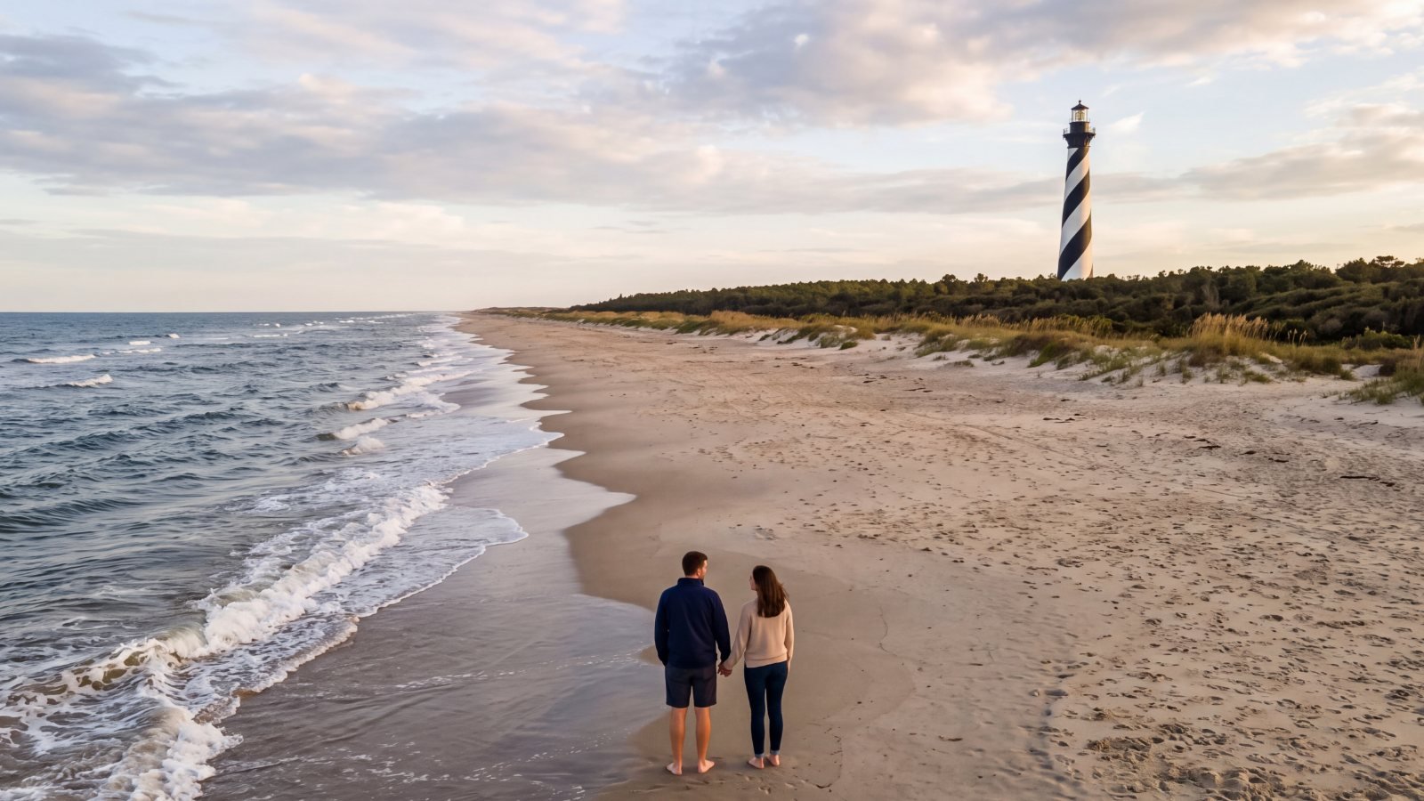
The finish is the point of the whole thing. You end on a patch of Buxton beach where the Cape Hatteras Lighthouse stood from 1870 until 1999, by which time the sea was at its base. There is nothing there now — no tower, no marker, no plaque. Then you drive to the lighthouse itself, 2,900 feet inland, where they moved it over 23 days. Standing on the empty spot, and then under the tower, is the part people remember.
If you want the storms behind every one of these stops before you drive them, our Outer Banks hurricane history lines them up, 1846 to today.
What you need
- Car: any car. There is no sand driving on this one.
- Distance: about 53 miles down to the lighthouse, plus whatever the stops add, so start early.
- Fuel: fill the tank before Hatteras Island.
- Roads: Highway 12 is the only way down and it closes in bad weather. Check NCDOT before you go.
- The lighthouse: under restoration and wrapped in scaffolding into 2027. The grounds are open and the drive is unaffected, but you cannot climb it. Check the National Park Service before you go.
- The beach at Buxton: the empty spot sits on a stretch that has been closed on and off since 2023. If it is roped off, the game counts the closure line as the stop.
- The drive home: the hunt finishes in Buxton, not where you started.
- Driving safety: whoever is driving never works the game while the car is moving. Hand the phone to a passenger, or pull over somewhere safe first.
How the game works
- Buy a team pass. Your team link arrives by email within a few minutes; if it hasn’t landed in 10 minutes, check spam and promotions.
- Go to the start any day within 90 days and open the link when you are ready. There is no booking, no guide and nobody to meet.
- Each stop unlocks by GPS when you get there. Then come photo challenges, questions you answer from what is actually in front of you, and points.
- If your phone won’t share its location, the game lets you place yourself on the map by hand, so nobody gets stuck.
Play Shifting Sands
A self-guided hunt of ours: $29 for the whole team, not per person, good any day for 90 days. Renting a 4x4 from Beach4x4, our rental company in Kill Devil Hills? Every rental includes a free hunt pass, and the link comes with your booking confirmation.
Get the team pass · $29Questions people ask
Do we need four-wheel drive for Shifting Sands?
No. Every stop is reached on paved road, so any car works.
Where does it start and finish?
It starts at Jockey’s Ridge State Park in Nags Head and finishes at the Cape Hatteras Lighthouse in Buxton, about 53 miles south. The drive home is yours.
Can we climb the Cape Hatteras Lighthouse?
Not right now. It is under restoration and wrapped in scaffolding into 2027. The grounds stay open, and the hunt’s finish does not depend on climbing it.
How long does it take?
A full day. Start early; Highway 12 is the only road down and the stops add time.
How many people does one pass cover?
One team of up to six players, on one phone or each on their own. Bringing two cars? Buy a pass for each team.
Checked against the sources
The erosion record — Oregon Inlet’s opening in the September 1846 storm and its movement south since (NC Division of Coastal Management); the Cape Hatteras Lighthouse’s shoreline timeline and its 1999 move of 2,900 feet in 23 days (National Park Service); the Rodanthe bridge’s 2.4 miles and July 2022 opening (NCDOT); the 1930s New Inlet bridges and their pilings (Coastal Review); the 32 house collapses since 2020 (National Park Service, timeline current to September 2026); the 2019 Jockey’s Ridge sand project (NC State Parks); the restoration — scaffolding and no climbing into 2027.
Every question in the game was checked against what is actually at each stop, including what is no longer there.
The Bodie Island, Oregon Inlet, Highway 12 and Cape Hatteras photographs are National Park Service photos, public domain. The Jockey’s Ridge, South Nags Head and Buxton beach pictures are illustrations of the kind of thing you will see, not photographs of the exact spots. The title art is the hunt’s own.
Last checked: September 2026.