
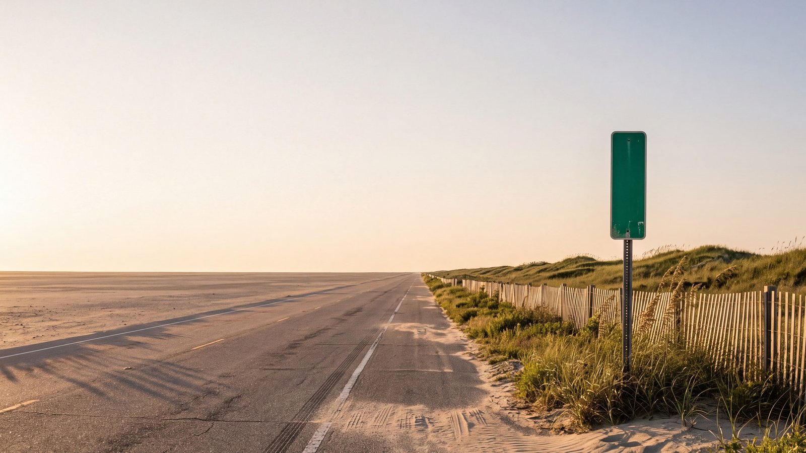
The generic version of this argument is exhausted. Which app has better traffic, which has better lane guidance, which one your friend refuses to stop using. All three will get you down US-158, over the Wright Memorial Bridge and to your rental without drama.
The interesting question is what happens after that. This is a barrier island with one road down its spine, a ferry (free through 2026) in the middle of it, an eleven-mile stretch of beach that people live on and that has no road at all, and an addressing system based on mileposts that predates all three companies. So rather than summarise anyone’s feature list, we put the same three questions to all three apps and wrote down what they said.
Two of the answers were not what we expected.
The short answer
Apple Maps is the only one of the three that warned us before routing a car onto the sand. Asked for Carova, Google and Waze both handed over a beach route with no caution at all — and Waze called it the best one.
Waze is the best-connected to North Carolina’s road closures and the worst thing to rely on down here. The state pushes closures straight into it. It also has no offline maps whatsoever, and the bottom of Hatteras is where that stops being theoretical.
Google is the sensible default — offline areas, ferry handling, and it was the only one that put our milepost query anywhere near the Outer Banks.
And all three will quietly lie to you about the ferry, because none of them counts the queue.
What we actually did
On September 3, 2026 we ran three identical queries through the web version of each app, back to back, and recorded exactly what came back. The phone apps are not identical to the web clients, so treat this as a strong indication rather than a guarantee — but the routing engines behind them are the same, and the results were not subtle.
Test one: the road to Carova that is not a road
North of Corolla, the pavement ends. Carova is a real community with real houses, and the only way in is to air down and drive eleven miles up the beach. Currituck County’s own guidance is blunt about it: “If your vehicle is not equipped with 4-wheel drive, do not attempt to drive on the beach,” and it points out there are no gas stations up there at all.
We asked all three for driving directions from Duck to Carova Beach.
| App | What it said | Warning? |
|---|---|---|
| Apple Maps | 1 hr 10 min, 27 miles, “Fastest” | Yes — “May include roads requiring a four-wheel drive vehicle.” |
| Google Maps | 58 min, 25.3 miles, “Fastest route”, via NC Hwy 12 N and North Beach Access Road | None we could find |
| Waze | 53 min, 25.3 miles, labelled BEST, via Ocean Trl and North Beach Access Rd | None |
Read those in order. The app with the worst public reputation is the only one that mentioned the four-wheel drive. The app that gave the shortest estimate — fifty-three minutes, five minutes quicker than Google — is the one routing a car across eleven miles of soft sand and calling it the best available option.
Coming from the north? There is no shortcut, and the apps are right about that
Carova sits about twenty-five miles straight down the beach from Virginia Beach, and every summer somebody looks at a map and assumes that is the way in. It is not, and the reason is stronger than most people assume.
Virginia’s own parks department could not be plainer about the stretch in between. On False Cape State Park: “Public vehicular access is not allowed at any time… Vehicular access through the refuge and False Cape State Park is prohibited, and violators will be prosecuted for trespassing.” The park is reached on foot, by bicycle, by boat or on the park tram. There is no road, and there has never been one — Carova residents were writing to the newspapers about wanting one back in the 1990s.
So the gap between the map and the ground here is enormous. Sandbridge sits about thirteen miles up the beach from Carova. We asked Google for driving directions between them and got 107 miles.
This is worth being blunt about, because it is the one failure on this page that could cost you more than an afternoon. If any app ever offers you a route down the beach from Sandbridge, or through Back Bay, or through False Cape, it is wrong. That is not a shortcut and it is not a rough road. It is a wildlife refuge and a state park where driving is prohibited outright and, in Virginia’s own words, prosecuted as trespassing.
We asked for Virginia Beach to Carova to see what the apps would do with it. Google returned 115 miles and two and a half hours, all the way around Currituck Sound on US-158. Waze agreed — 110 to 116 miles depending on the option. Neither is malfunctioning: that loop is the only legal way to drive it.
Which makes the contrast with the southern approach sharper, not softer. From Duck, Google will put you on the sand in fifty-eight minutes without comment. From Virginia, it correctly refuses. The software knows perfectly well that the last eleven miles are beach. It simply does not think that is worth mentioning to you when you approach from the side where it will let you drive it.
None of this is hypothetical. In July 2018 a tractor-trailer driver following GPS ended up stuck on the sand at the ramp north of Corolla and had to be towed off, which made national news. The county tells you what tire pressure to run and where the permit comes from. It does not tell you that your phone will route you up there without blinking, and two of these three will.
One caution about all of the above. These are the answers we got on one day. Routing to Carova has changed before: people who run vehicles on this beach spent a stretch watching visitors turn up by improbable routes, including ones that ran north into Virginia before doubling back. That appears to have been sorted out — we could not reproduce it from any starting point we tried — but it may well change again in either direction. That is precisely the reason not to leave the decision to whichever app is open. There is no paved road to Carova, there never has been, and no ETA on a screen changes what your tires are about to be driving on.
If Carova is where you are going, read the Corolla and Carova map first, and the beach-driving app comparison for what to run once you are on the sand.
Test two: the ferry all three get wrong the same way
The Hatteras–Ocracoke run is a state ferry, free through 2026, first come first served, no reservations. It is also the only way to drive to Ocracoke from the north. We asked for Hatteras to Ocracoke.
| App | Estimate | How it flagged the ferry |
|---|---|---|
| Apple Maps | 1 hr 5 min, 25 miles | “Ferry required.” |
| Waze | 1 hr 18 min, 26.2 miles | Named it in the route: “Hatteras – Ocracoke Ferry” |
| Google Maps | 1 hr 27 min, 25.6 miles | “This route includes a ferry.” |
Credit where it is due: all three routed over the water and all three said so. That is better than they used to be.
The problem is the twenty-two minutes of daylight between Apple’s estimate and Google’s for the identical trip — and the fact that the disagreement does not matter, because none of them counts the line. In summer the queue at Hatteras is the trip. Arrive at the wrong hour and the wait can be measured in hours, not minutes, and no app on that list has any idea. The number on your screen is the crossing, not the waiting.
Plan it off the schedule and the queue rather than the ETA: the Hatteras–Ocracoke ferry, explained and every Outer Banks ferry route. One thing to know if you are reading this later: the state is required to put a toll on every ferry route, including this one, by January 1, 2027. The rates were still being set when we wrote this.
Test three: the milepost, which is how people here actually give directions
Ask anyone local where something is and you will get a number. Milepost 1 starts just after the Wright Memorial Bridge and the markers run up the US-158 bypass through Kitty Hawk, Kill Devil Hills and Nags Head. Businesses put it on their signs. Rental agencies put it in their listings. Duck and Corolla do not use it, and Hatteras has its own NC-12 mile markers.
So we typed “MP 8.5 Outer Banks NC” into two of them and watched.
- Google Maps landed on 710 S Croatan Hwy in Kill Devil Hills — the right stretch of road. But look at how it got there: the address it matched literally contains the characters “MP 8.5”, because a business put the milepost in its street line. Google matched text. It did not understand a milepost.
- Apple Maps resolved the same query to 5 Martin Luther King Jr Blvd in Lexington, North Carolina — about 260 miles inland, most of the way to Winston-Salem.
That is the honest state of it. The addressing system this place runs on is invisible to the software, and where it appears to work, it is working by accident. If somebody gives you a milepost, convert it yourself before you set off: the milepost map and the Highway 12 mile markers.
The one that decides it: what happens when the signal goes
This is where the ranking flips, and it is not close.
Waze has no offline maps at all. Not a limited version — none. Its own help center states it plainly: “For all aspects of Waze to operate, you must have an active data connection on your mobile device.” Without one you cannot locate yourself or navigate a route.
Google and Apple both let you download an area before you go. Google keeps driving turn-by-turn inside the downloaded area but warns that offline you get no traffic and no alternate routes. Apple’s offline maps keep turn-by-turn, place details and arrival estimates, and it has an explicit setting to use only offline maps.
On the northern beaches this is an abstraction. South of Oregon Inlet, through the villages, on Ocracoke and out on the 4x4 beach, it is the whole question. Download the area before you cross the bridge. It takes a minute on hotel wifi and it is the single most useful thing in this article.
The genuine surprise: Waze is wired into the state
The lazy version of this comparison says Waze is a crowd-sourced toy and the serious apps use official data. On North Carolina roads that is backwards.
NCDOT feeds full road closures from its own traffic system directly into Waze, automatically. The pipeline went live in December 2022, and the department’s own report counts more than 36,000 closure incidents transmitted in about fifteen months — enough that by early 2023 North Carolina was second among eastern states for closures shared with Waze, behind only Florida. Google surfaces Waze-sourced reports too. Apple does not list NCDOT among its data providers, and we found no evidence of a feed.
So for a washed-out NC-12, a bridge closure or a crash on the bypass, Waze is likely to know first — while you have signal. That is a real advantage and it deserves saying, because it is the opposite of the reputation.
Two caveats worth carrying. NCDOT itself says: “NCDOT reports the events that we are aware of. Not every event that occurs on the highway system will be shown.” And the state publishes all of this on DriveNC.gov, which you can read directly and which does not need an app at all.
What none of them does
- Evacuate you. North Carolina publishes hurricane evacuation routes as a printed map. There is no feed, no layer, and no consumer navigation app that responds to an evacuation order. See the evacuation routes and the hurricane guide before you need them.
- Count the ferry queue. Covered above.
- Know the tide. Irrelevant on pavement, decisive on sand.
- Understand a milepost. Covered above.
- Tell you a road is beach. Two of the three, anyway.
During Hurricane Florence in 2018, North Carolina transportation officials warned the public that navigation apps were not keeping up with closures and were directing drivers onto roads that were confirmed closed and flooded — that it was not safe to trust them with your life. Eight years on, the state feeds Waze automatically and DriveNC is a good deal better. The underlying lesson has not changed: in an emergency, the state’s own page beats the blue line on your dashboard.
Which one to use here
- Coming for a week, staying on the pavement. Any of them. Download an offline area anyway.
- Driving to Hatteras or Ocracoke. Google or Apple, with the area downloaded before you go. Not Waze as your only app — it stops working when the bars do.
- Watching for a closure on NC-12 while you have signal. Waze, and DriveNC.gov in a browser tab.
- Going to Carova. Apple, if only because it is the one that says the words “four-wheel drive” out loud — then stop using it and read the county rules and a proper off-road app.
- Taking the ferry. Any of them for the drive, none of them for the timing.
- Somebody gave you a milepost. None of them. Use the milepost map.
Asked and answered
Does Google Maps work on the Outer Banks?
Yes for the drive in and around the towns, with two real limits. Download an offline area before you come, because coverage thins south of Oregon Inlet and Google needs a connection for traffic and alternate routes. And when we asked it for driving directions to Carova, it routed us up the beach with no warning that the last eleven miles are sand requiring four-wheel drive.
Which navigation app is best for the Outer Banks?
Google Maps or Apple Maps, with an offline area downloaded before you arrive. Waze is excellent for live closures because North Carolina DOT feeds closures directly into it, but it has no offline maps at all and stops working without a data connection, which makes it a poor sole choice on Hatteras and Ocracoke.
Will Google Maps or Waze route me onto the beach at Carova?
In our test on September 3, 2026, yes. Asked for Duck to Carova Beach, Google Maps returned a route via NC-12 and North Beach Access Road with no four-wheel-drive warning we could find, and Waze returned a beach route labelled BEST. Apple Maps returned a similar route but flagged it: “May include roads requiring a four-wheel drive vehicle.”
Do navigation apps account for the Hatteras ferry wait?
No. All three route over the Hatteras–Ocracoke ferry and say so, but their estimates cover the crossing, not the queue. In summer the line can add hours. Plan from the ferry schedule and the queue guidance rather than the app’s arrival time.
Can you drive to Carova from Virginia Beach?
Not directly. Carova is about twenty-five miles down the beach from Virginia Beach, but the beach ramp at Back Bay National Wildlife Refuge is open only to permit holders and the northernmost mile of refuge beach is closed to all public use year round. Navigation apps route you around Currituck Sound instead: in our September 2026 test Google Maps returned 115 miles and Waze 110 to 116. That is correct, not a glitch.
Can you drive the beach from Virginia Beach or Sandbridge to Corolla?
No. The beach between them runs through Back Bay National Wildlife Refuge and False Cape State Park, and Virginia states that public vehicular access is not allowed at any time and that violators will be prosecuted for trespassing. There is no road. Driving between the two means going around Currituck Sound: Google returned 107 miles from Sandbridge in our September 2026 test, for what is about thirteen miles of beach.
Does Waze work without cell service?
No. Waze has no offline maps. Its own help center states that all aspects of Waze require an active data connection, and without one you cannot locate yourself or navigate. Google Maps and Apple Maps both let you download an area in advance.
Can I search an Outer Banks milepost in a maps app?
Not reliably. Locals give directions by milepost, numbered from just after the Wright Memorial Bridge up the US-158 bypass, but the apps do not understand the system. In our test, Apple Maps resolved “MP 8.5 Outer Banks NC” to an address in Lexington, about 260 miles inland, and Google only landed nearby because a business had put the milepost inside its street address.
Where should I check Outer Banks road closures?
DriveNC.gov, the state’s own traffic page, is the authoritative source and needs no app. North Carolina also feeds full closures automatically into Waze. NCDOT notes it only reports events it is aware of, so signage on the road still wins.
Checked against the sources
The three tests are ours, run on September 3, 2026 through the web version of each app, using the queries named in the article. Web clients are not identical to the phone apps, and results change as the products change — run them yourself before betting a trip on this page.
Offline behavior is quoted from each vendor’s own help documentation. The NCDOT closure feed into Waze, the incident count and the ranking against other states are from NCDOT’s own published report on the project; the note that Apple does not list NCDOT is from Apple’s public data-attribution page, which may not be exhaustive.
Ferry facts are from NCDOT, including the requirement to toll all routes by January 1, 2027. Carova rules are from Currituck County; the 2018 tractor-trailer was reported by the Outer Banks Voice and picked up nationally. The milepost system is as described by the Outer Banks Visitors Bureau. Evacuation routes are published by NCDOT as a map, not as data.
The Hurricane Florence warning is as quoted in news coverage at the time; we were not able to locate the original NCDOT release, so it is summarised here rather than quoted directly.
What we sell: nothing. No affiliate links, no paid placement, no relationship with any of these companies. This is general information, not driving advice. Last checked: September 2026.